Solutions for everyday access
Explore the main HomePro solution categories, then use the preserved local information below to prepare for a conversation about the home, the location and the next appropriate step.
Compare straight, curved, outdoor and other stairlift options.
Explore bathroom access, platform lifts, elevators and other mobility options.
Start close to home
Search existing local pages. Not seeing your city does not necessarily mean it is outside our service area—contact HomePro to confirm.
The St. Pete Pier in St. Petersburg, Florida, in July 2021. Photo: Jackdude101. CC BY-SA 4.0; resized for display. Area view.
View of Downtown Columbus, Georgia from across the Chattahoochee River Photo: PghPhxNfk. CC BY-SA 4.0; resized for display. Area view.
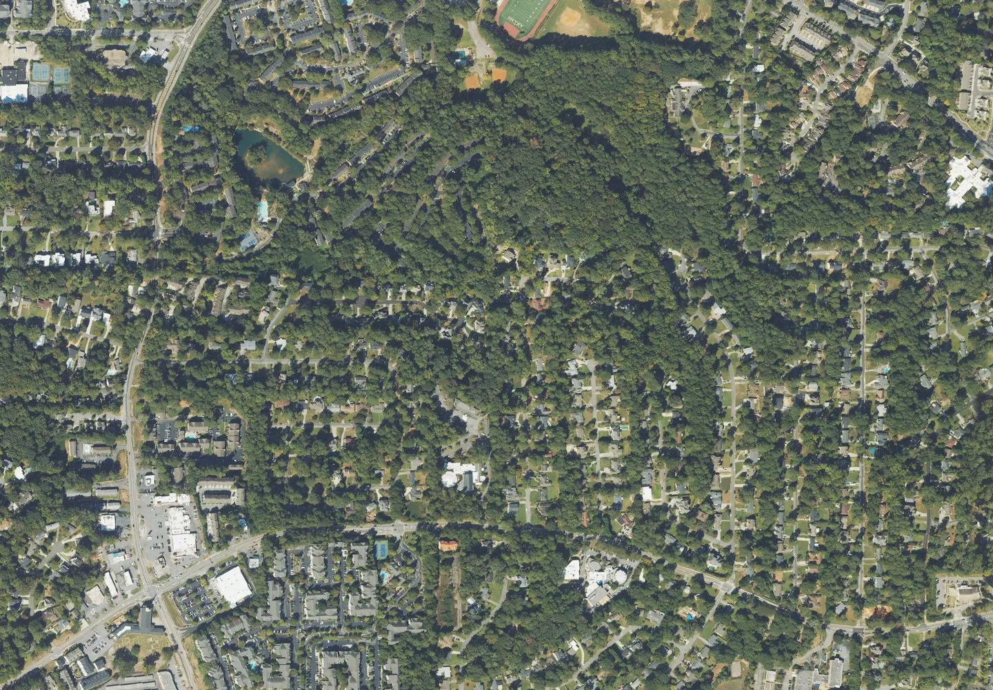
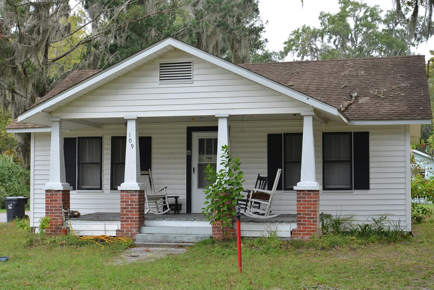
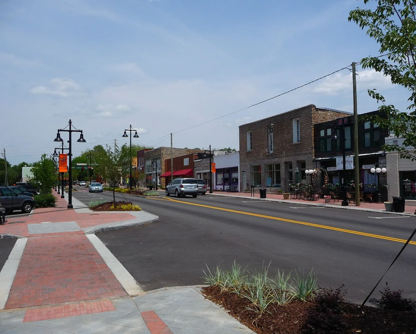
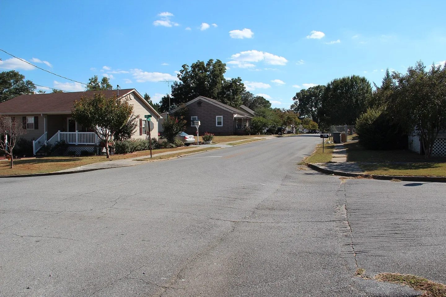
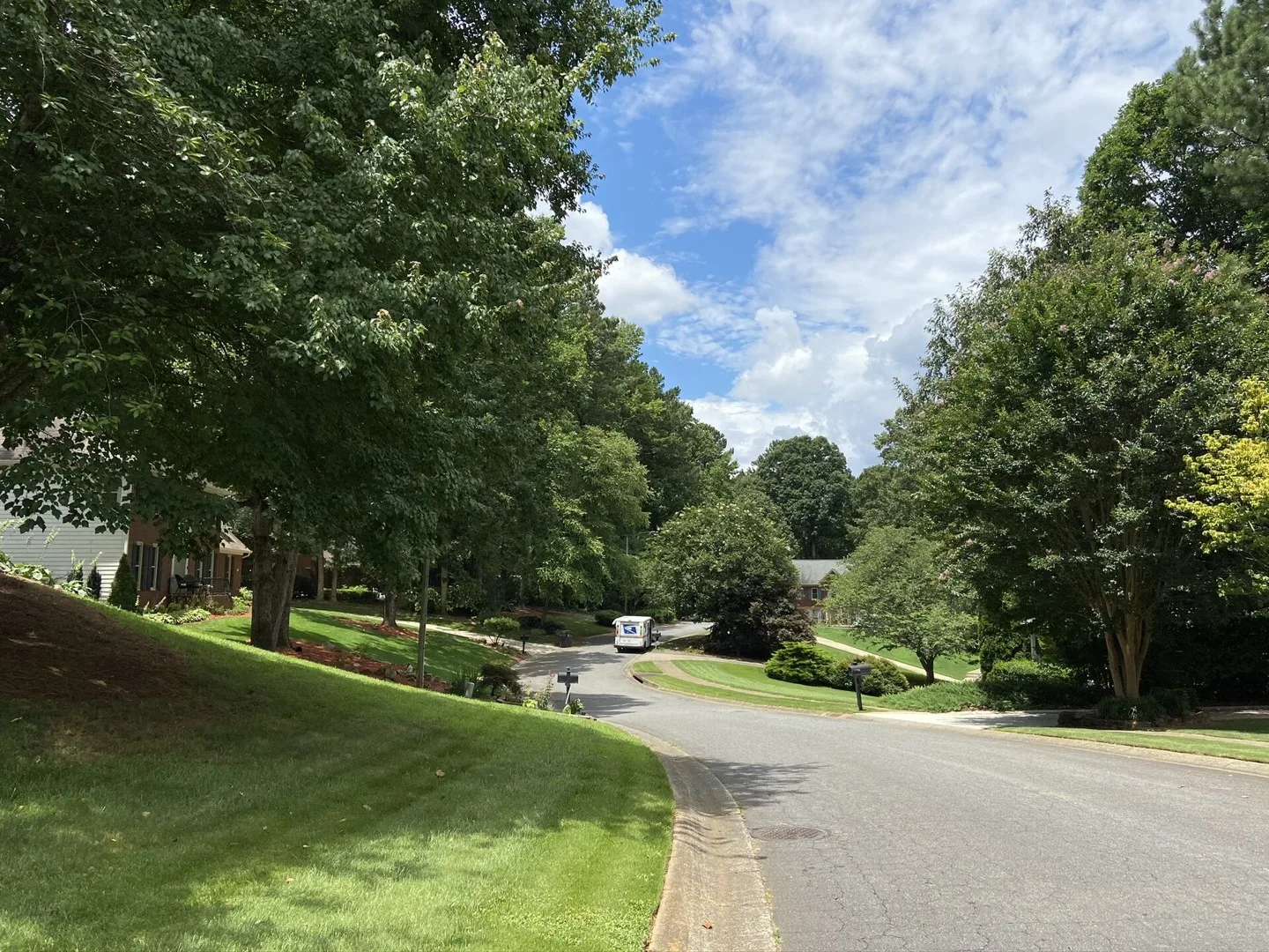
A typical residential street in Mableton Photo: Kmvl11. CC BY-SA 4.0; resized for display. Area view.
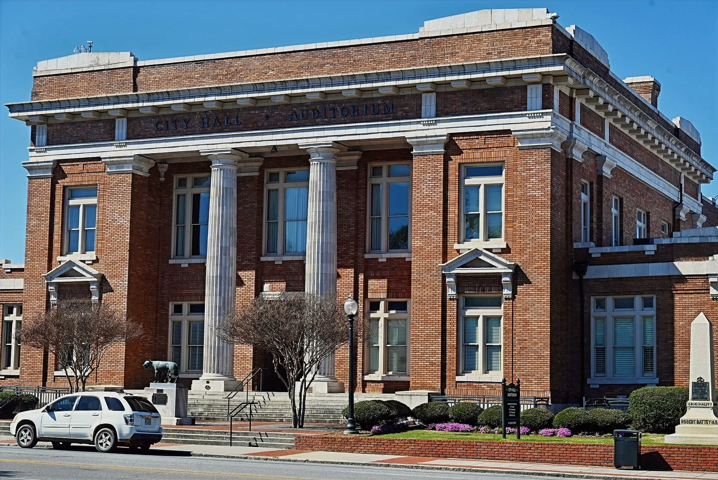
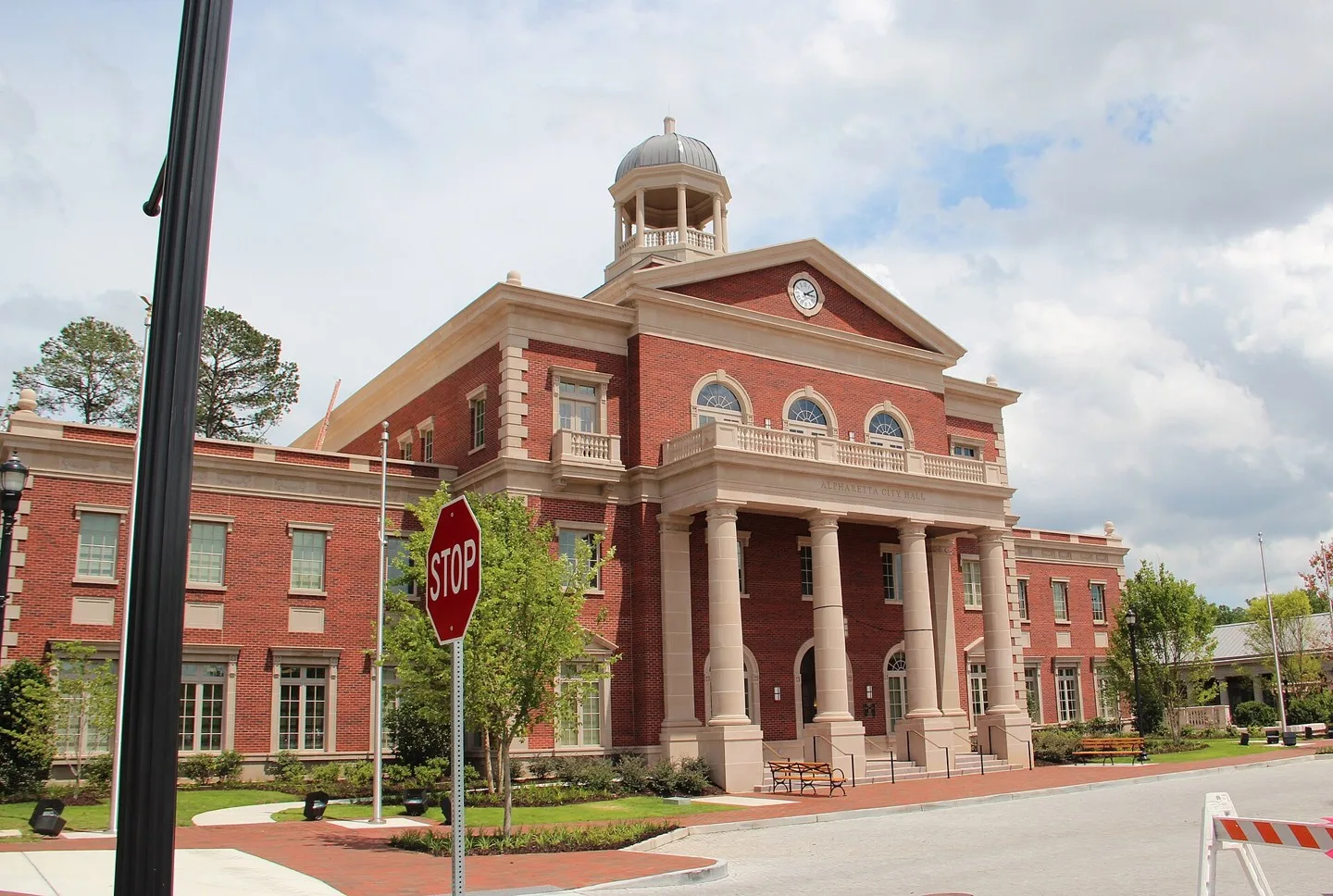
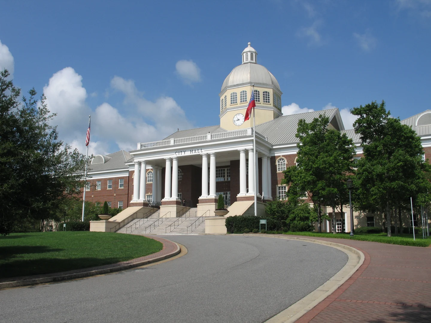
Alpharetta City Hall Photo: Thomson200. CC0 1.0; resized for display. Area view.
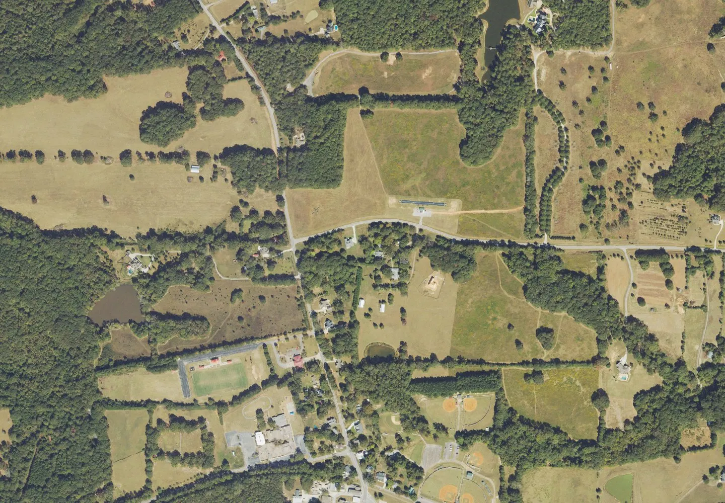
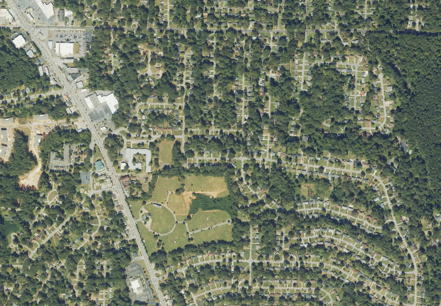
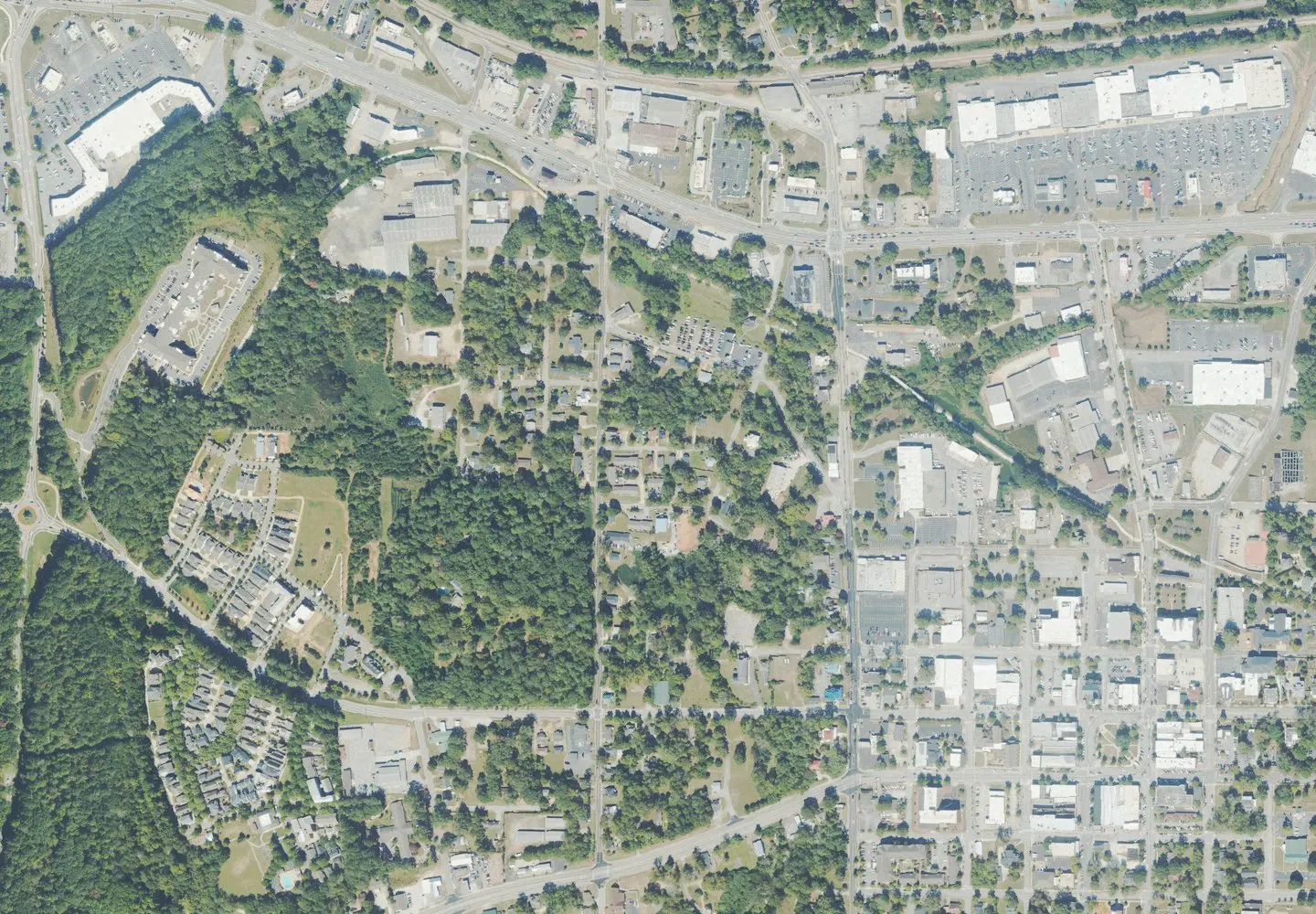
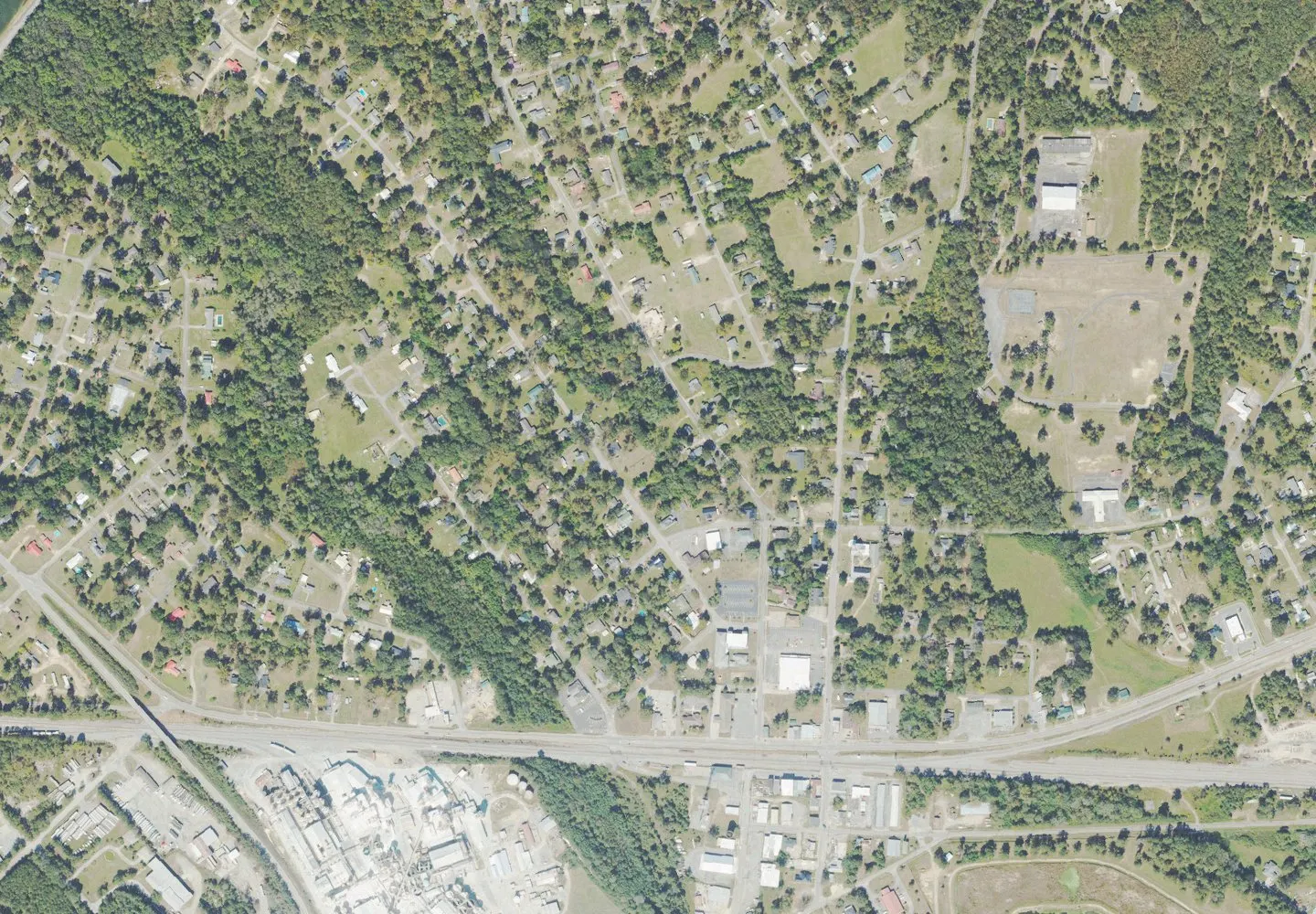
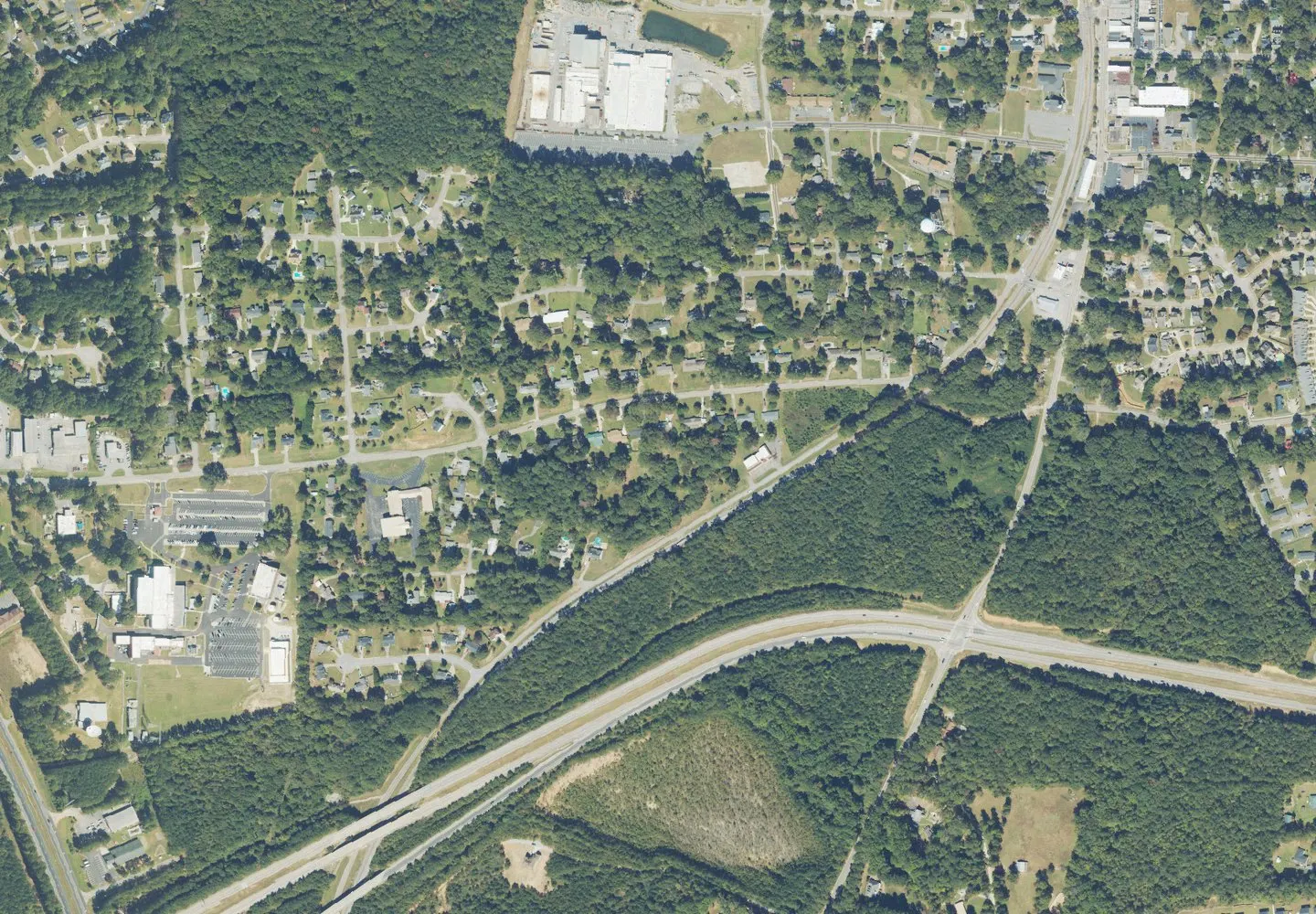
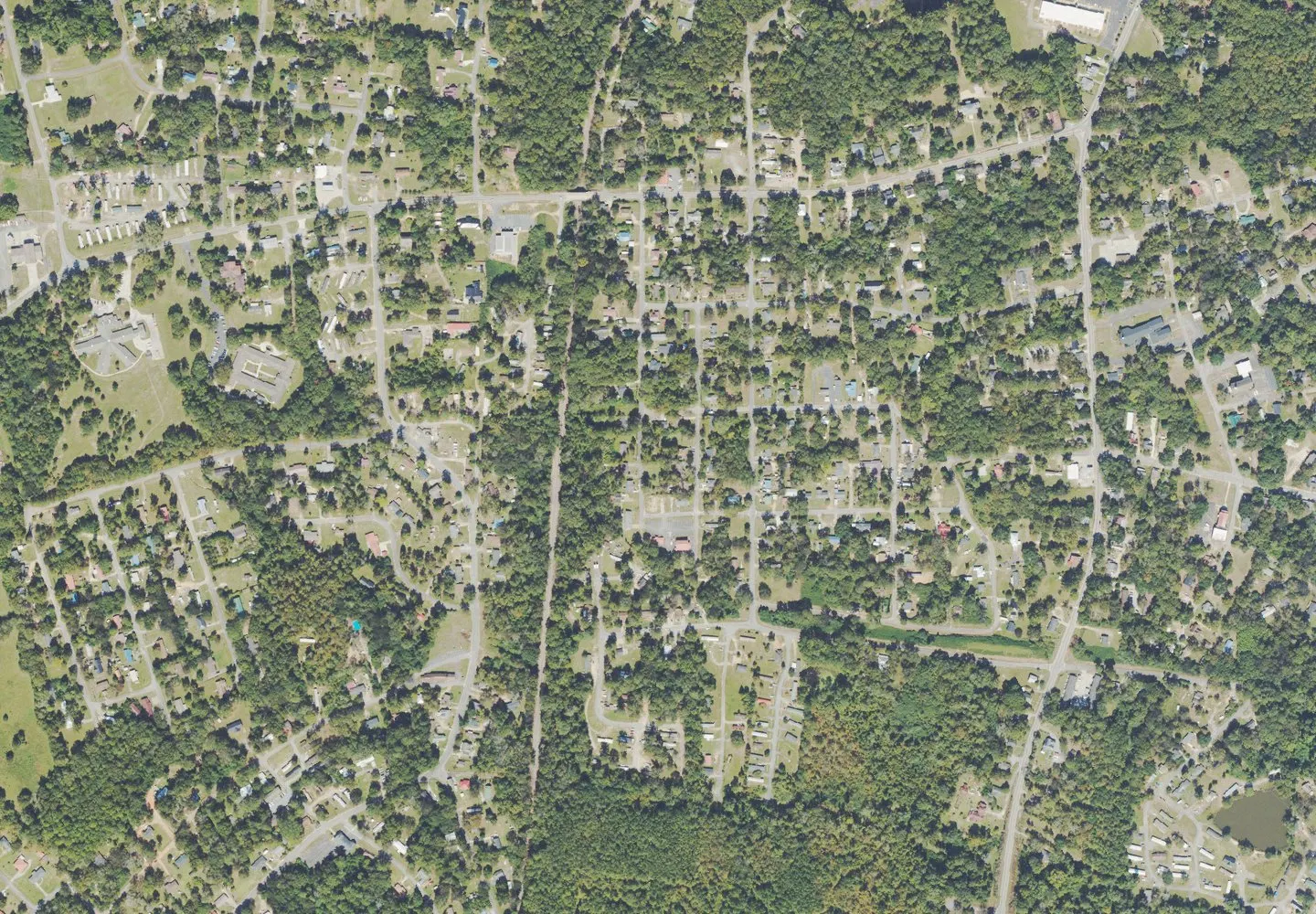
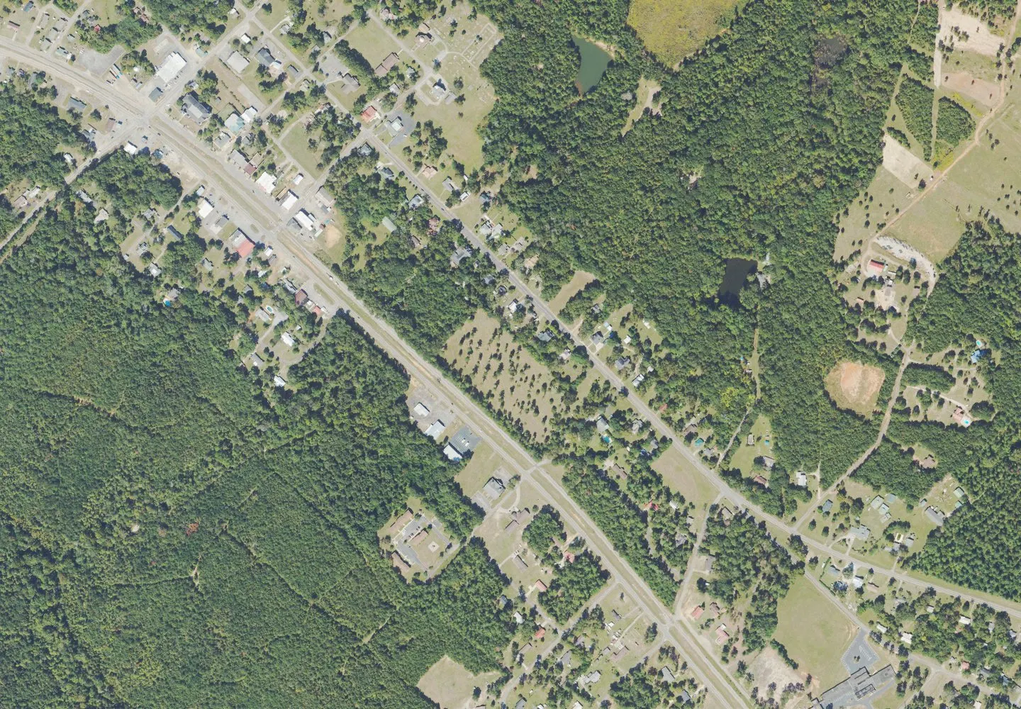
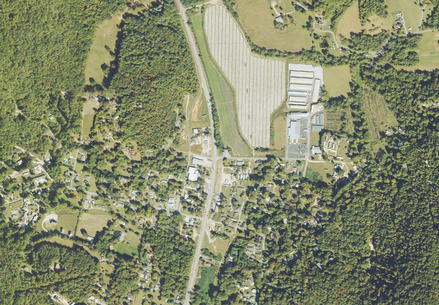
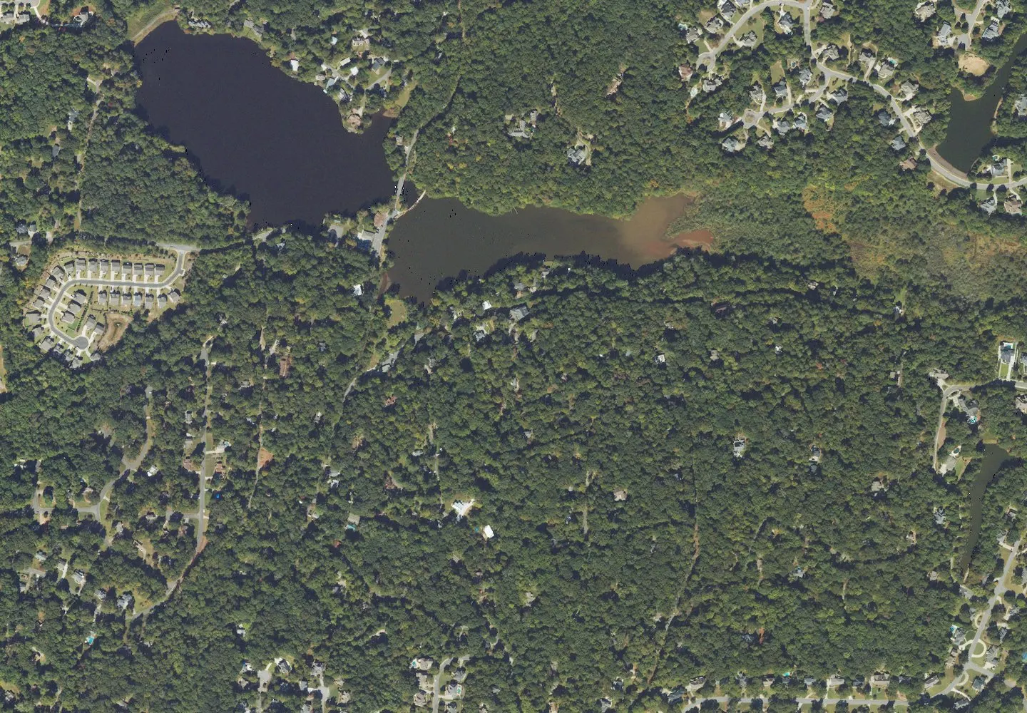
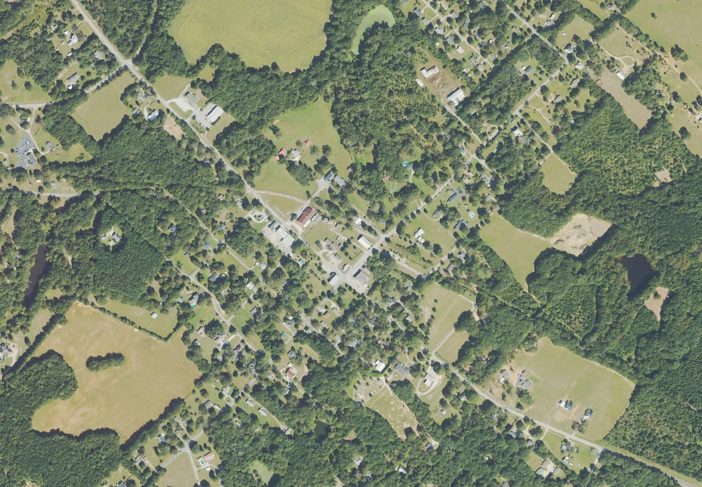
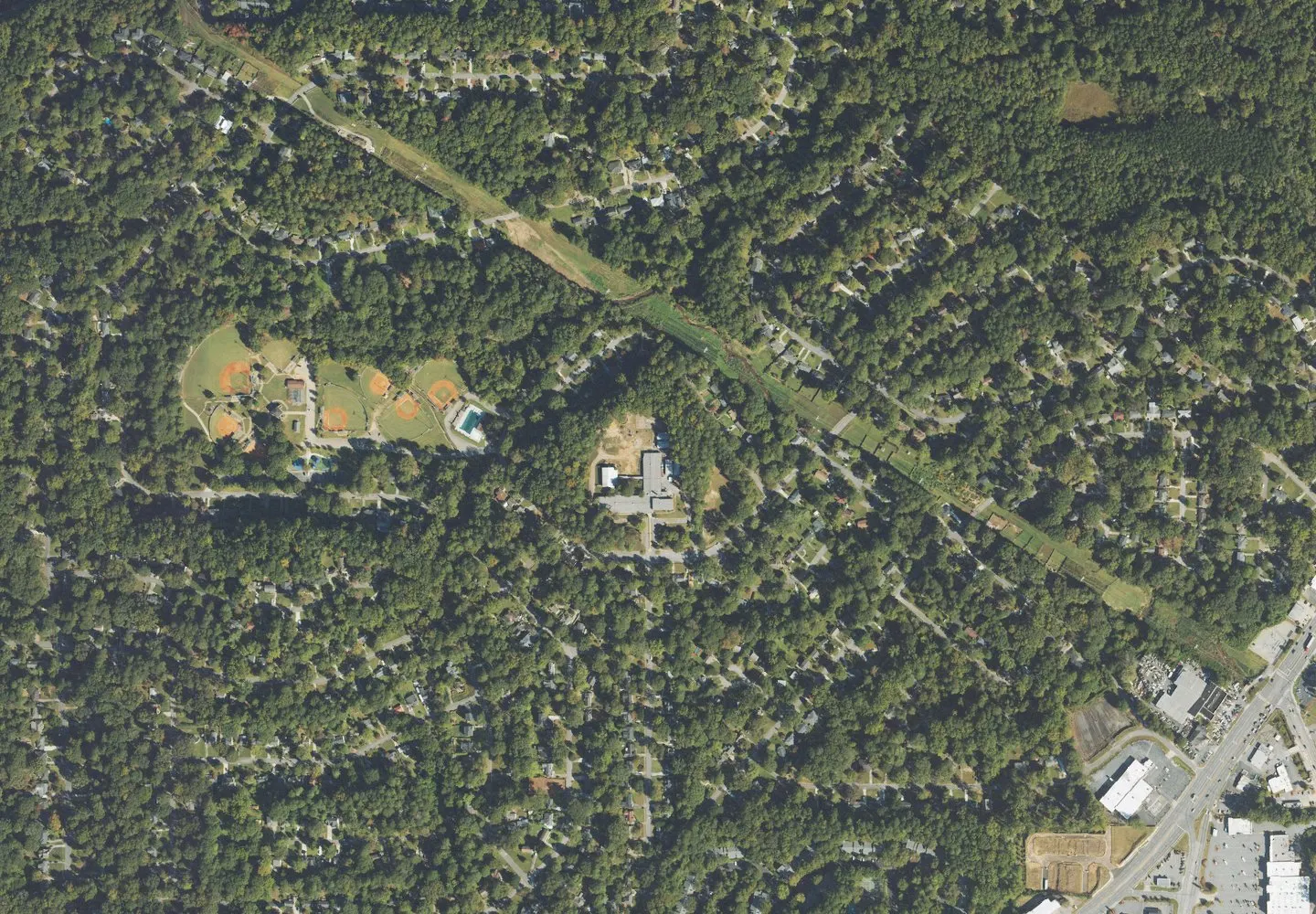
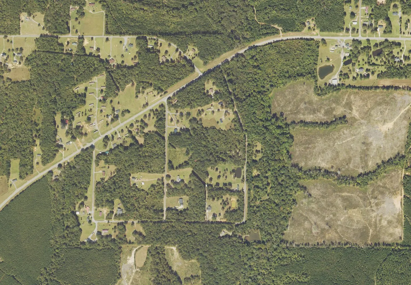
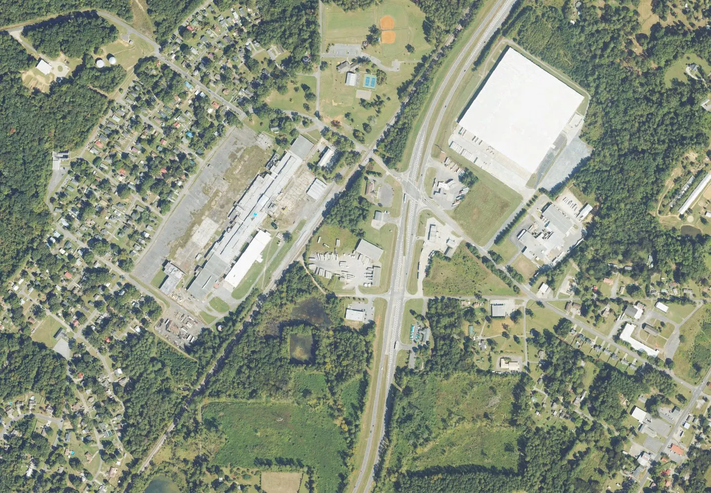
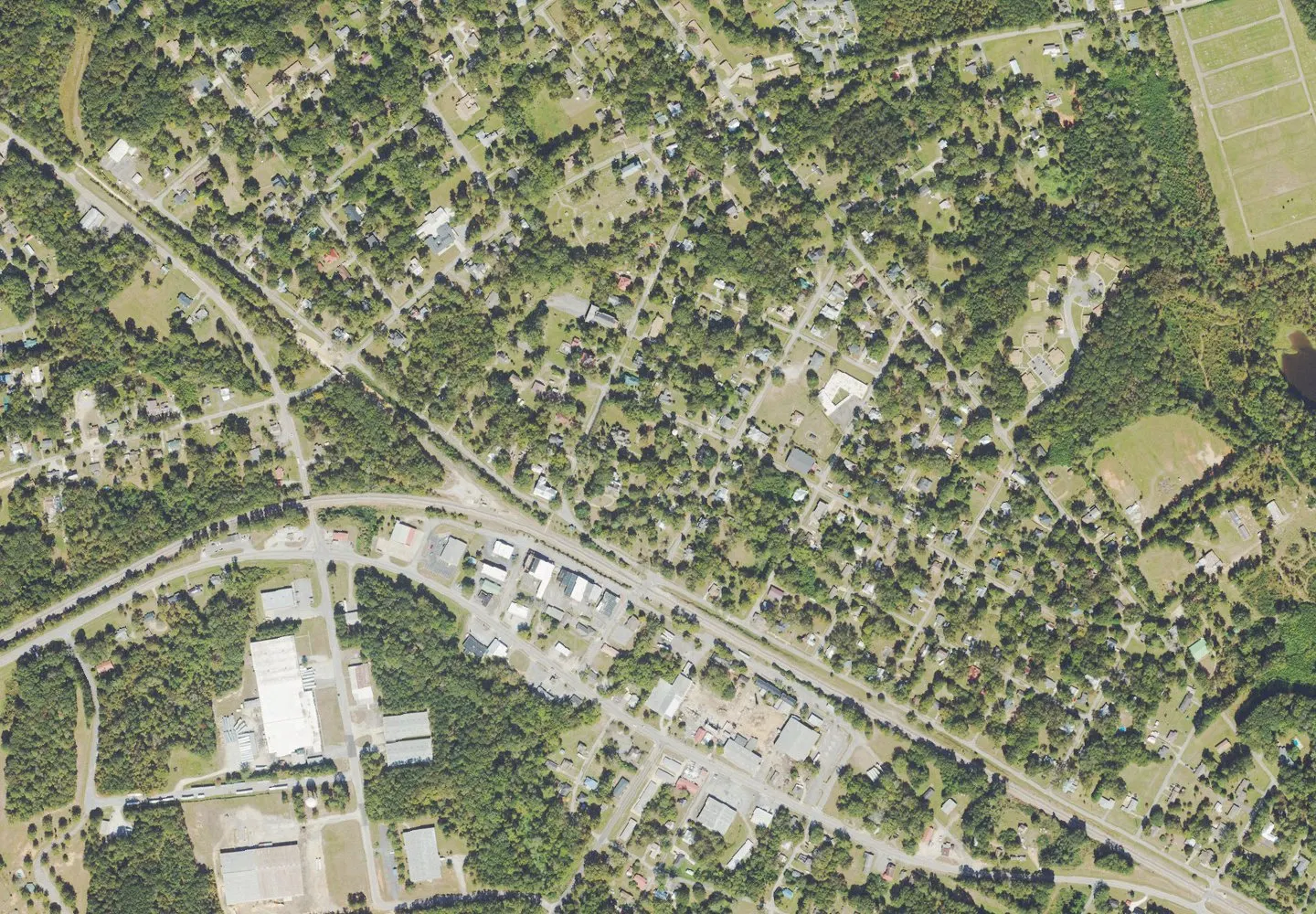
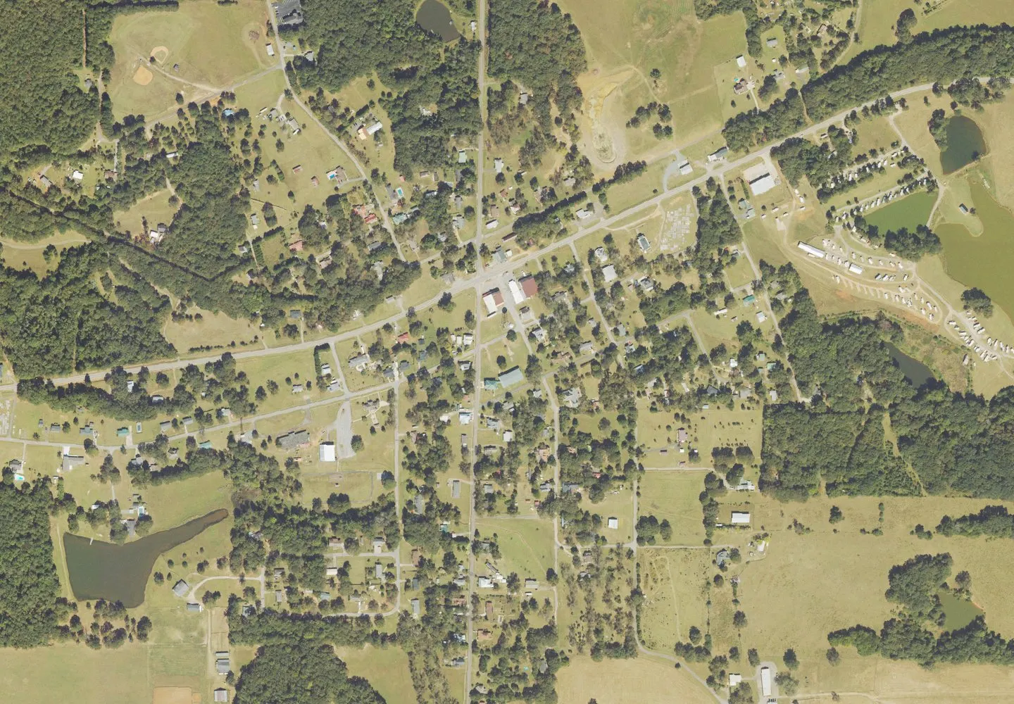
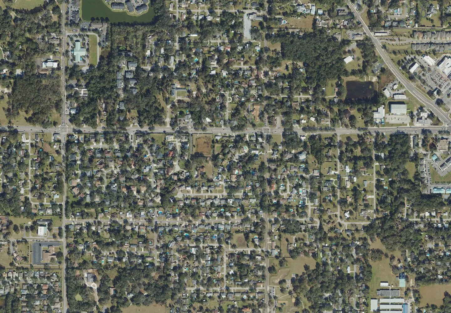
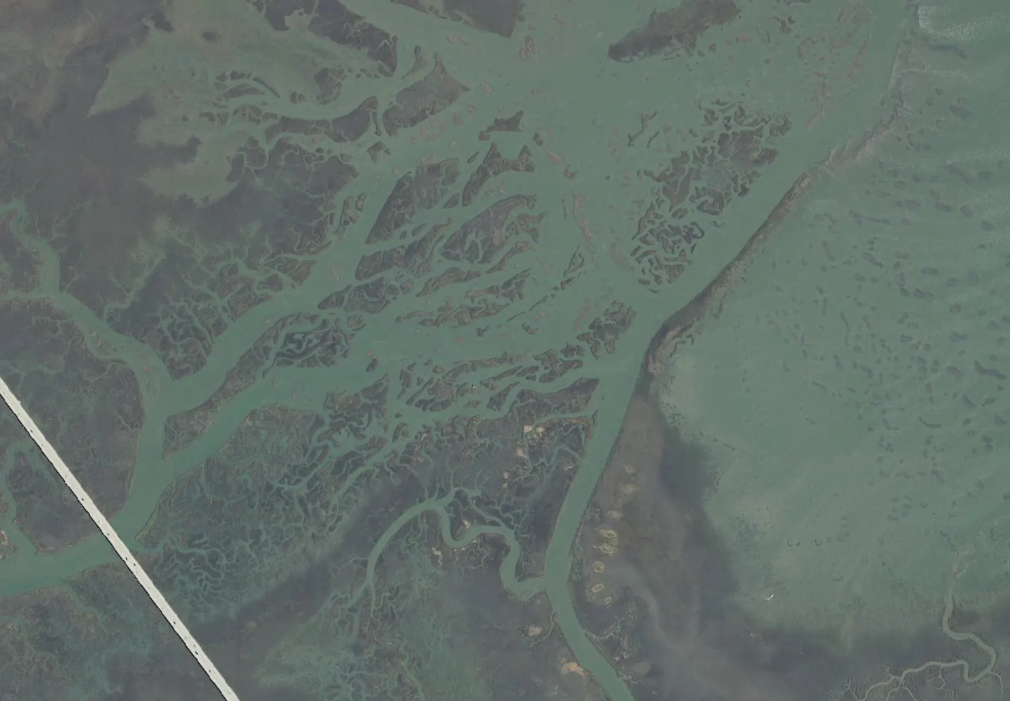
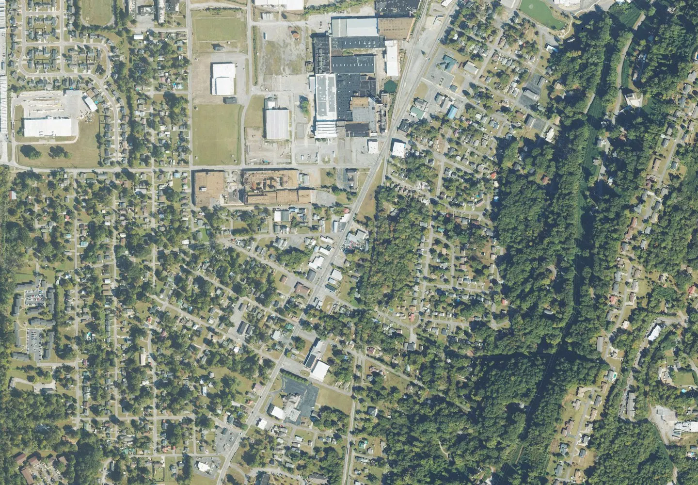
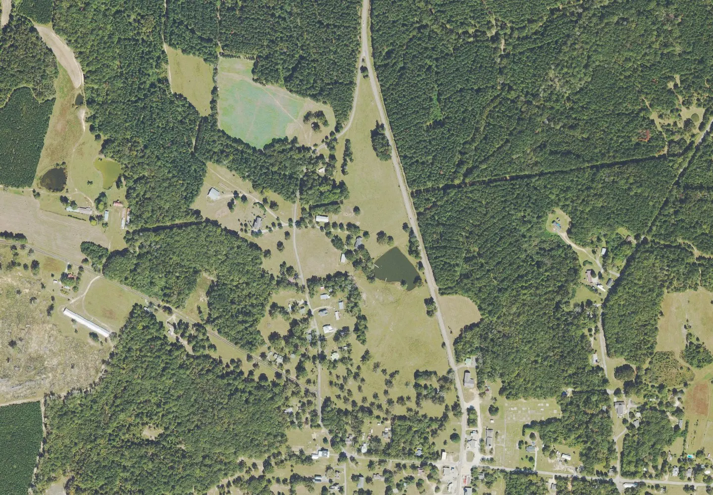
Historical aerial view of Irwinton, Georgia. Imagery date not established; geographic context, not a service-area boundary. Photo: USGS / USDA — National Agriculture Imagery Program. Public domain; resized for display. Area view.
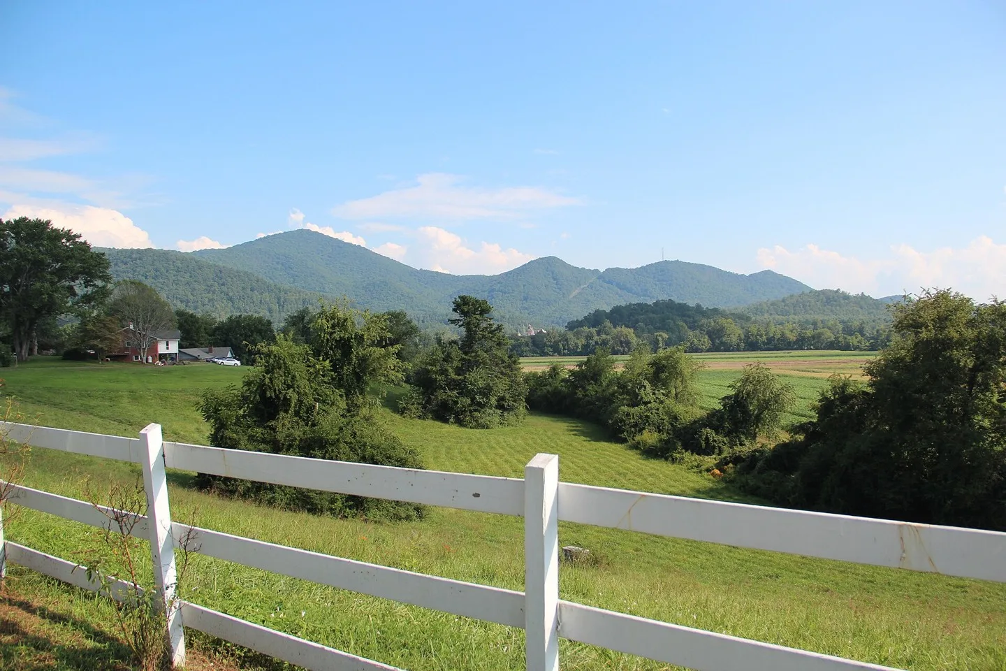
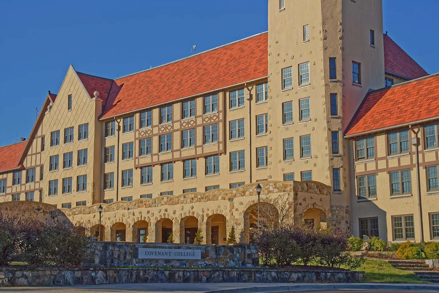
Covenant College on Lookout Mountain, Georgia Photo: Jud McCranie. CC BY-SA 4.0; resized for display. Area view.
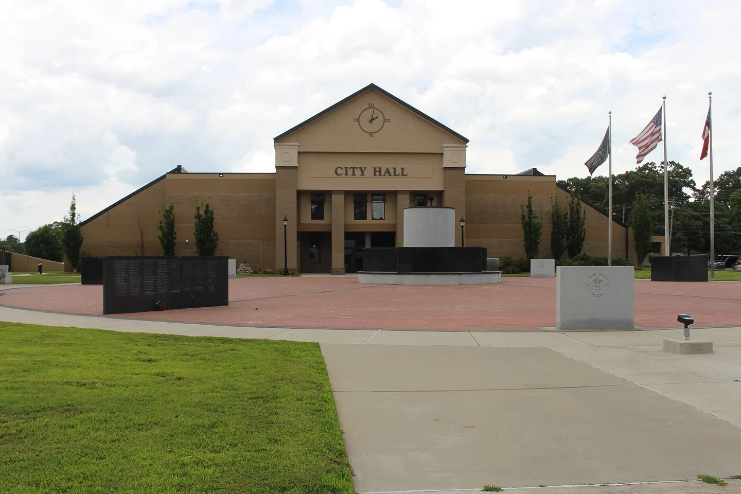
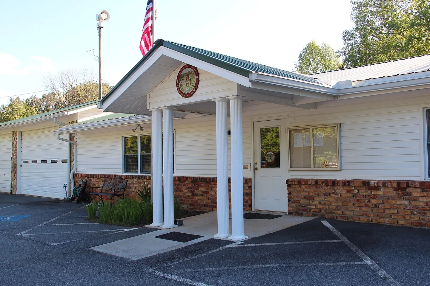
Waleska, Georgia city hall Photo: Thomson200. CC0; resized for display. Area view.
Downtown Acworth, GA Photo: Thomson200. CC0; resized for display. Area view.
Adairsville Public Library, Georgia Photo: Clifflandis. CC0; resized for display. Area view.
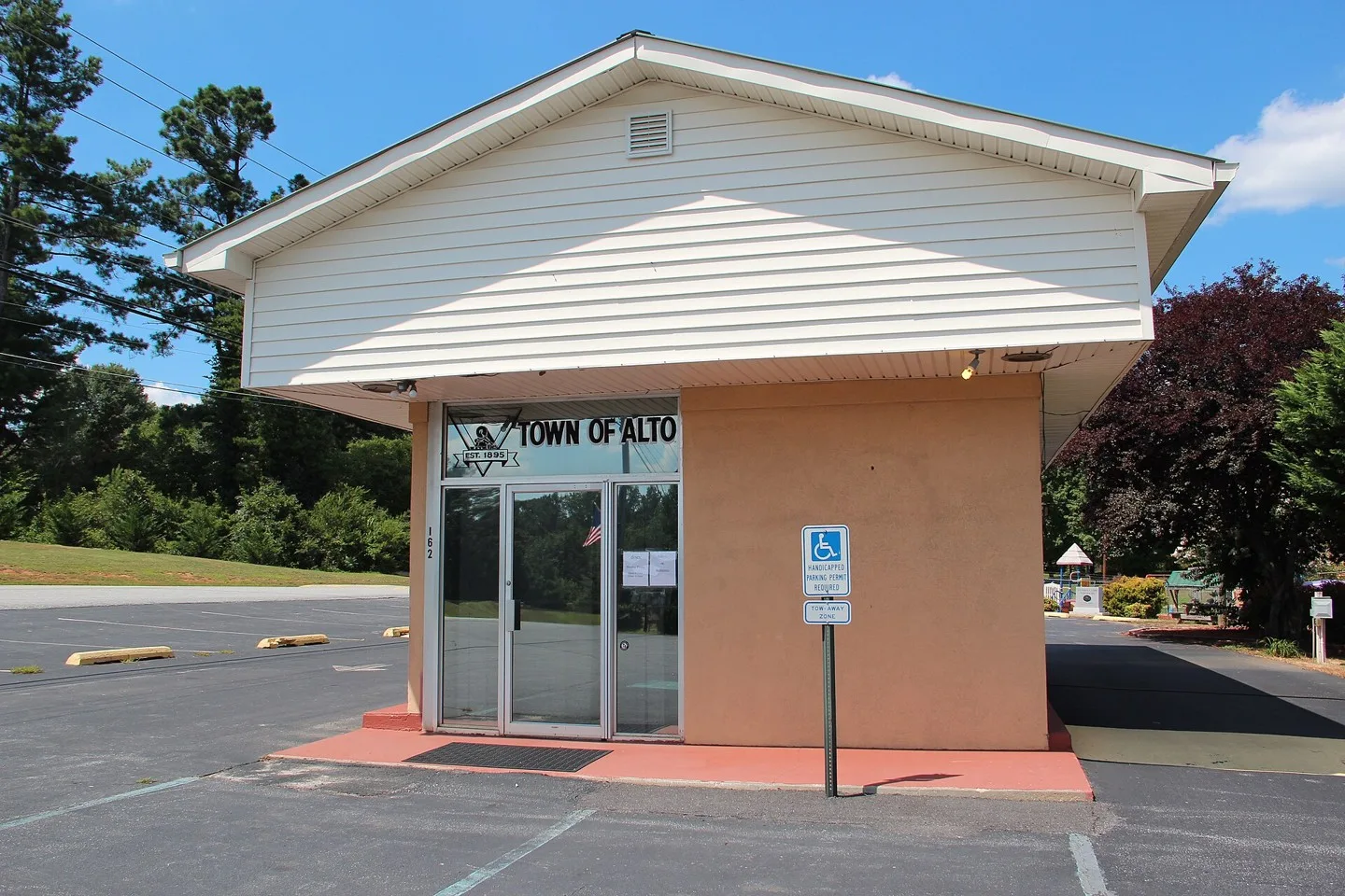
Alto City Hall Photo: Thomson M. CC BY 3.0; resized for display. Area view.
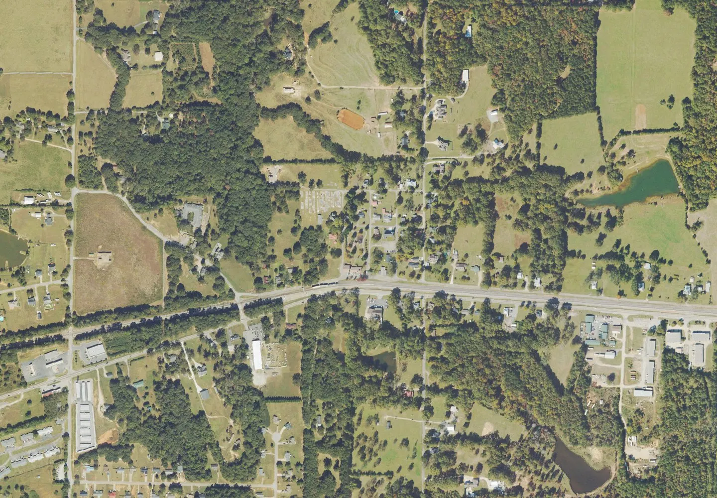
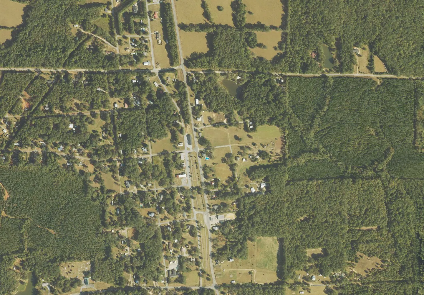
Historical aerial view of Arnoldsville, Georgia. Imagery date not established; geographic context, not a service-area boundary. Photo: USGS / USDA — National Agriculture Imagery Program. Public domain; resized for display. Area view.
Historical aerial view of Auburn, Georgia. Imagery date not established; geographic context, not a service-area boundary. Photo: USGS / USDA — National Agriculture Imagery Program. Public domain; resized for display. Area view.
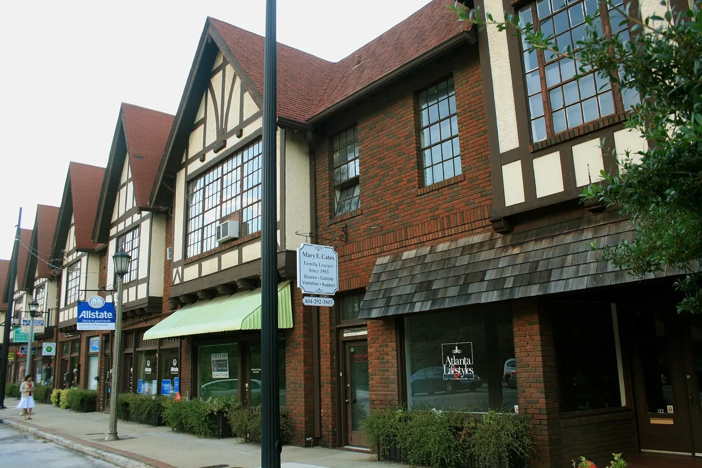
Tudor Revival architecture strip mall, 120 Avondale Road, Avondale Estates. Avondale Estates Historic District Photo: Aprabhu. CC BY-SA 3.0; resized for display. Area view.
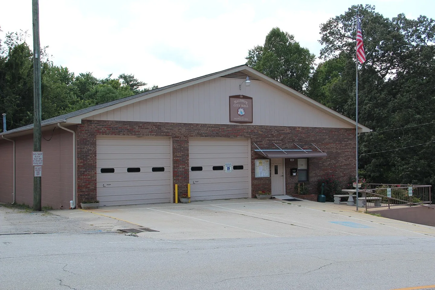
Baldwin, Georgia City Hall Photo: Thomson200. CC0; resized for display. Area view.
GA-372 in Ball Ground Photo: Thomson200. CC0; resized for display. Area view.
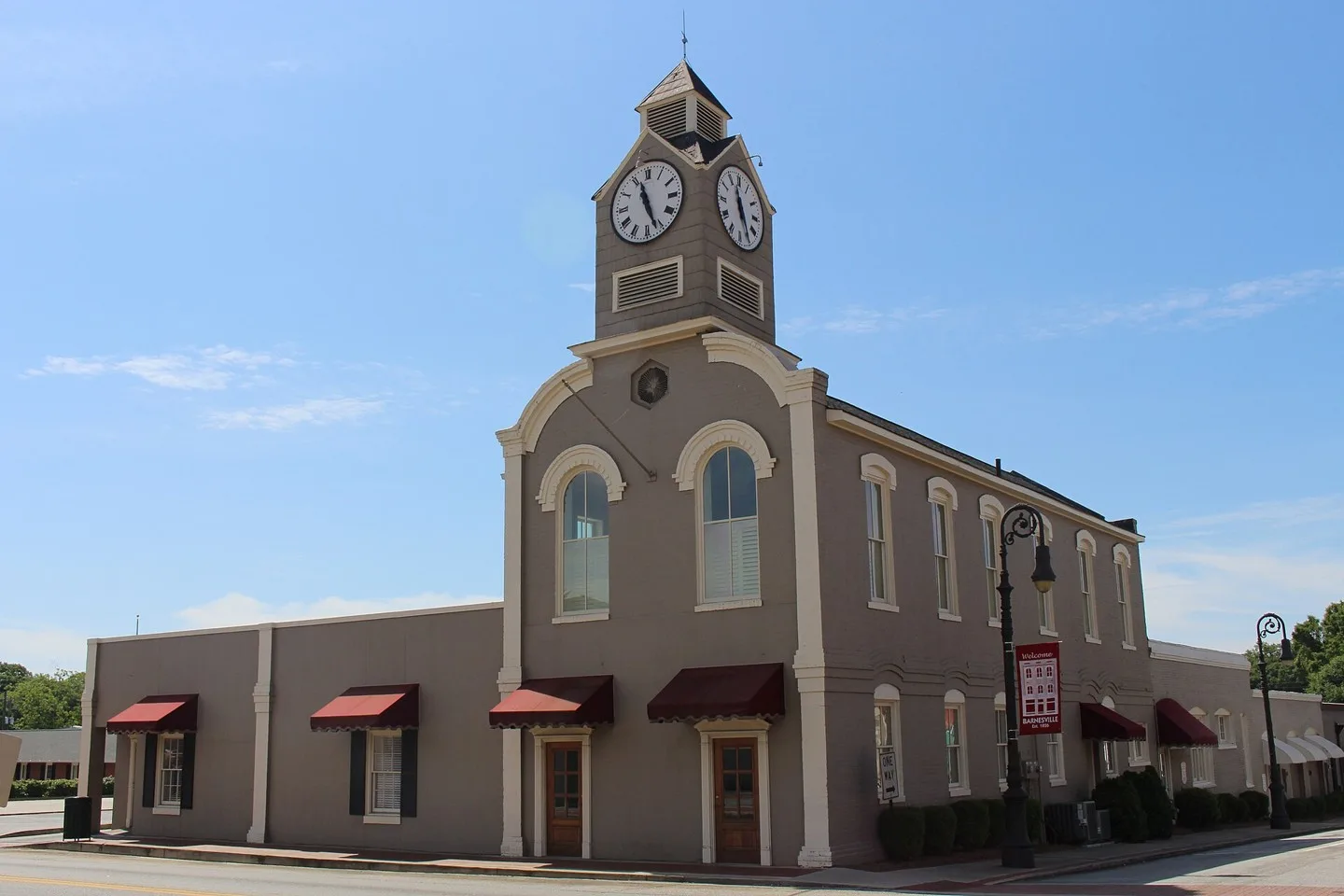
Barnesville, Lamar County, Georgia Photo: Michael Rivera. CC BY-SA 4.0; resized for display. Area view.
Historical aerial view of Belvedere Park, Georgia. Imagery date not established; geographic context, not a service-area boundary. Photo: USGS / USDA — National Agriculture Imagery Program. Public domain; resized for display. Area view.
Berkeley Lake City Hall, Georgia Photo: Thomson200. CC0; resized for display. Area view.
Historical aerial view of Bethlehem, Georgia. Imagery date not established; geographic context, not a service-area boundary. Photo: USGS / USDA — National Agriculture Imagery Program. Public domain; resized for display. Area view.
Between, Georgia Photo: Quentin Melson. CC BY-SA 4.0; resized for display. Area view.
Aerial of downtown Blairsville, Georgia, and the Old Union County Courthouse Photo: Harrison Keely. CC BY 4.0; resized for display. Area view.
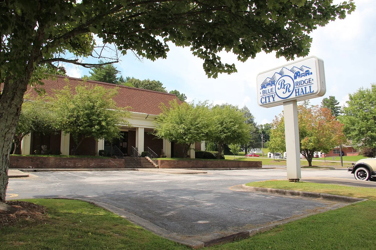
Blue Ridge City Hall Photo: Thomson M. CC BY 3.0; resized for display. Area view.
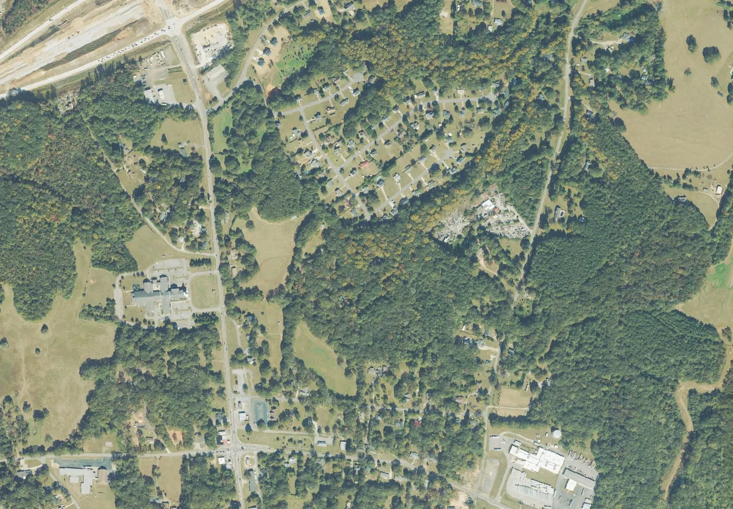
Historical aerial view of Bogart, Georgia. Imagery date not established; geographic context, not a service-area boundary. Photo: USGS / USDA — National Agriculture Imagery Program. Public domain; resized for display. Area view.
Bostwick Road, Bostwick, GA Photo: Thomson200. CC0; resized for display. Area view.
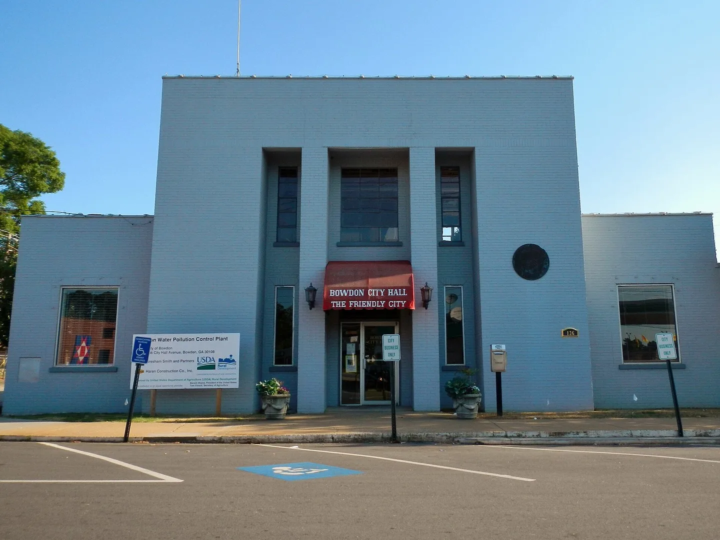
This is a photograph of the city hall in Bowdon, GA. Photo: Rivers Langley. CC BY-SA 3.0; resized for display. Area view.
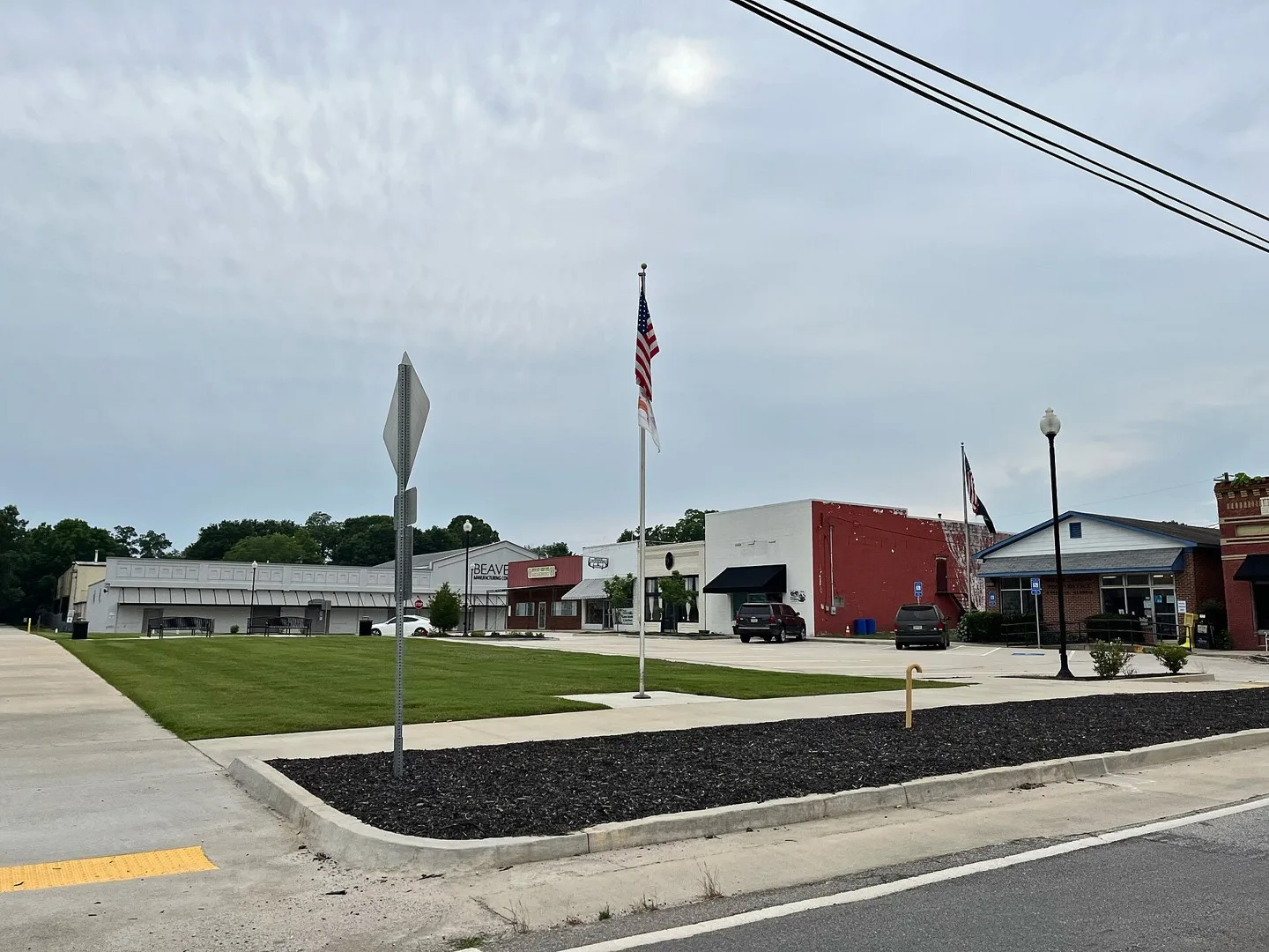
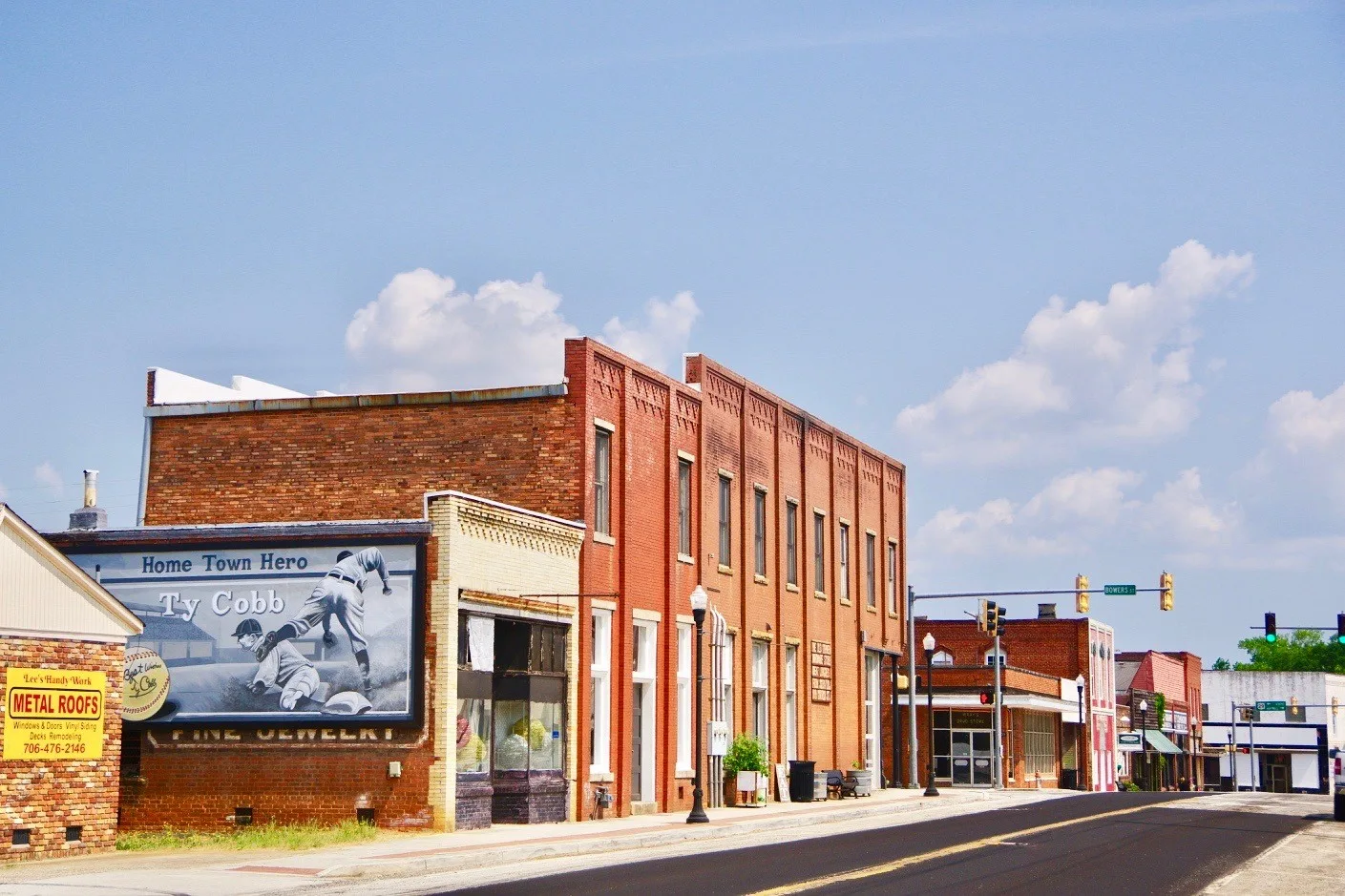
Town Hall (center), post office, and community center in Bowersville, Georgia, United States. Photo: Brian Stansberry. CC BY 4.0; resized for display. Area view.
Picture of downtown Bowman GA Photo: Evanoco. CC BY-SA 4.0; resized for display. Area view.
The W. H. Braselton House, today the town hall of Braselton, Georgia, part of the Braselton Historic District Photo: Chris Pruitt. CC BY-SA 3.0; resized for display. Area view.
Bremen City Hall Photo: Bill Golladay. CC BY-SA 4.0; resized for display. Area view.
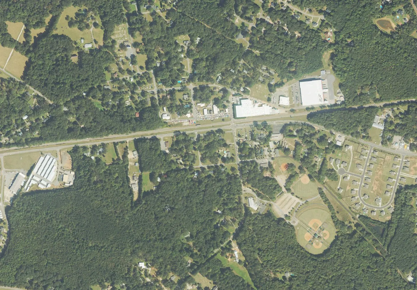
Historical aerial view of Brooks, Georgia. Imagery date not established; geographic context, not a service-area boundary. Photo: USGS / USDA — National Agriculture Imagery Program. Public domain; resized for display. Area view.
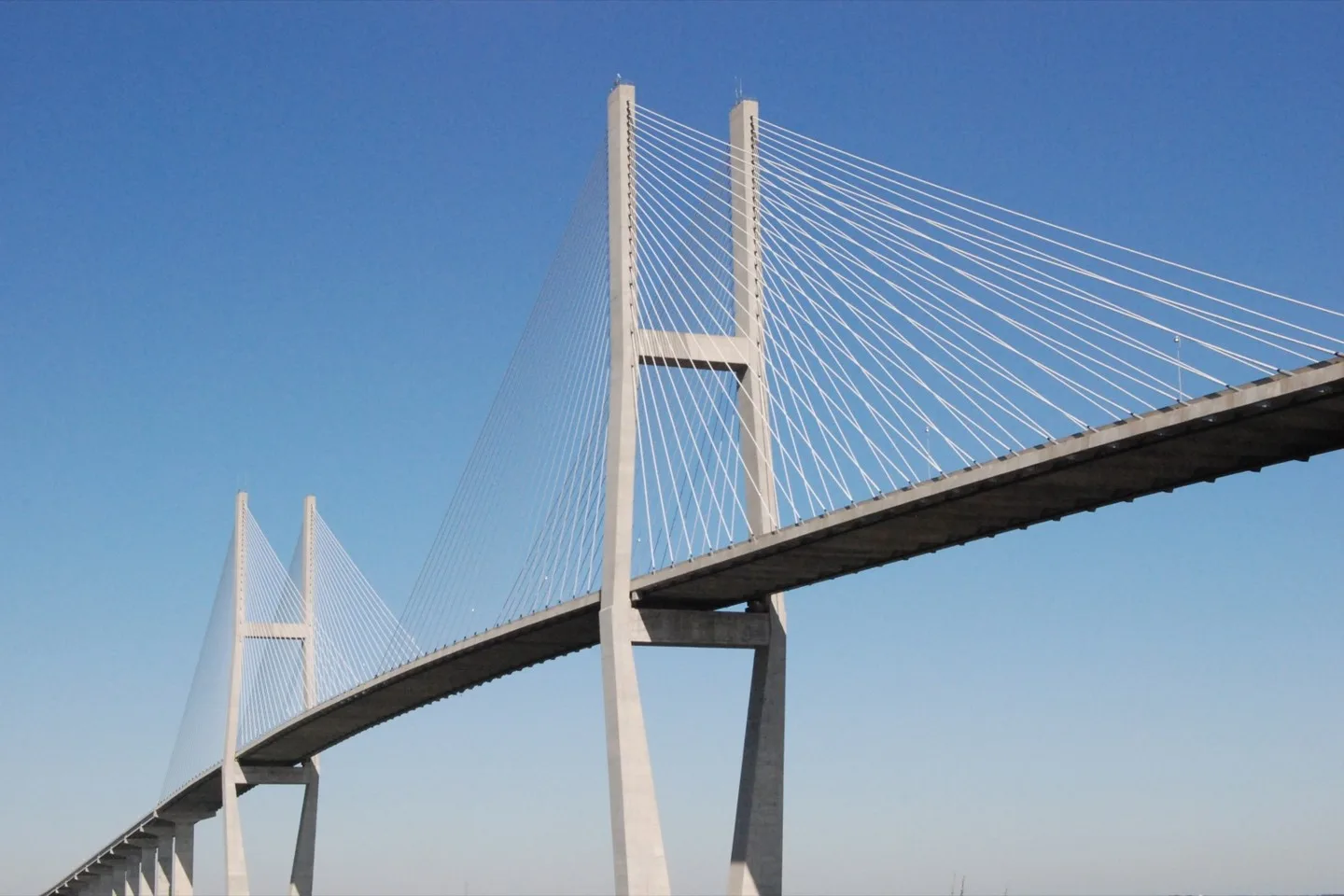
Sidney Lanier Bridge Photo: Hyku on Flickr. CC BY 2.0; resized for display. Area view.
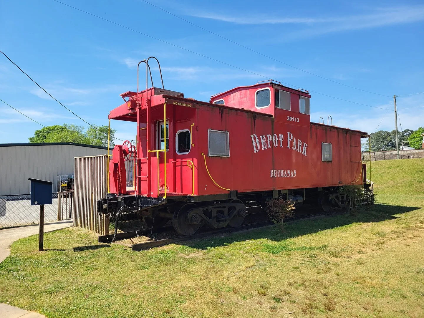
Caboose in Depot Park, Buchanan, Georgia Photo: John Phelan. CC BY 4.0; resized for display. Area view.
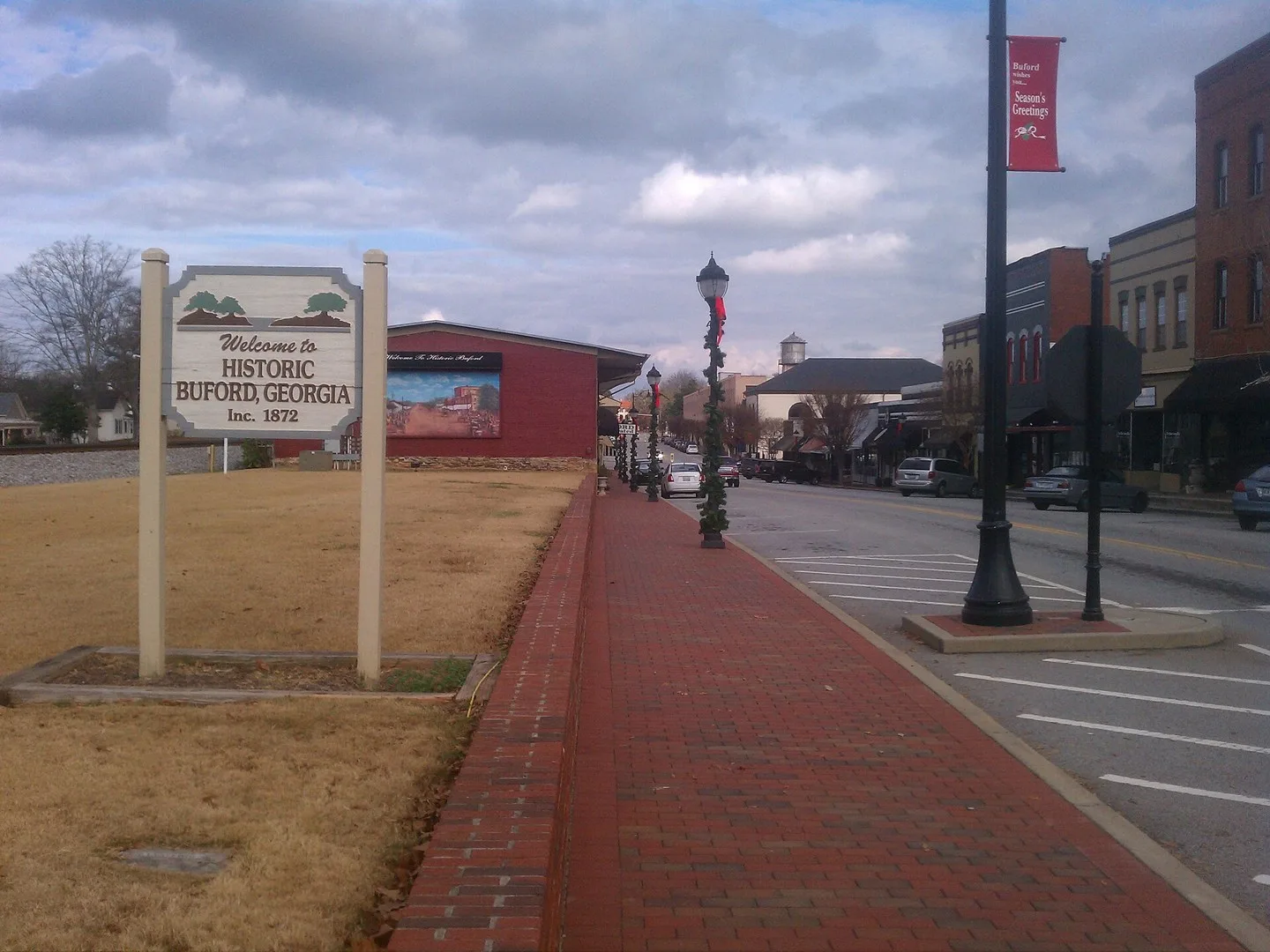
A photo of Main Street in Buford, Georgia including a "Welcome to Historic Buford, Georgia" sign. Photo: SudoGhost. CC BY-SA 3.0; resized for display. Area view.
Downtown Calhoun, Georgia Photo: Thomson200. CC0; resized for display. Area view.
Historical aerial view of Candler-McAfee, Georgia. Imagery date not established; geographic context, not a service-area boundary. Photo: USGS / USDA — National Agriculture Imagery Program. Public domain; resized for display. Area view.
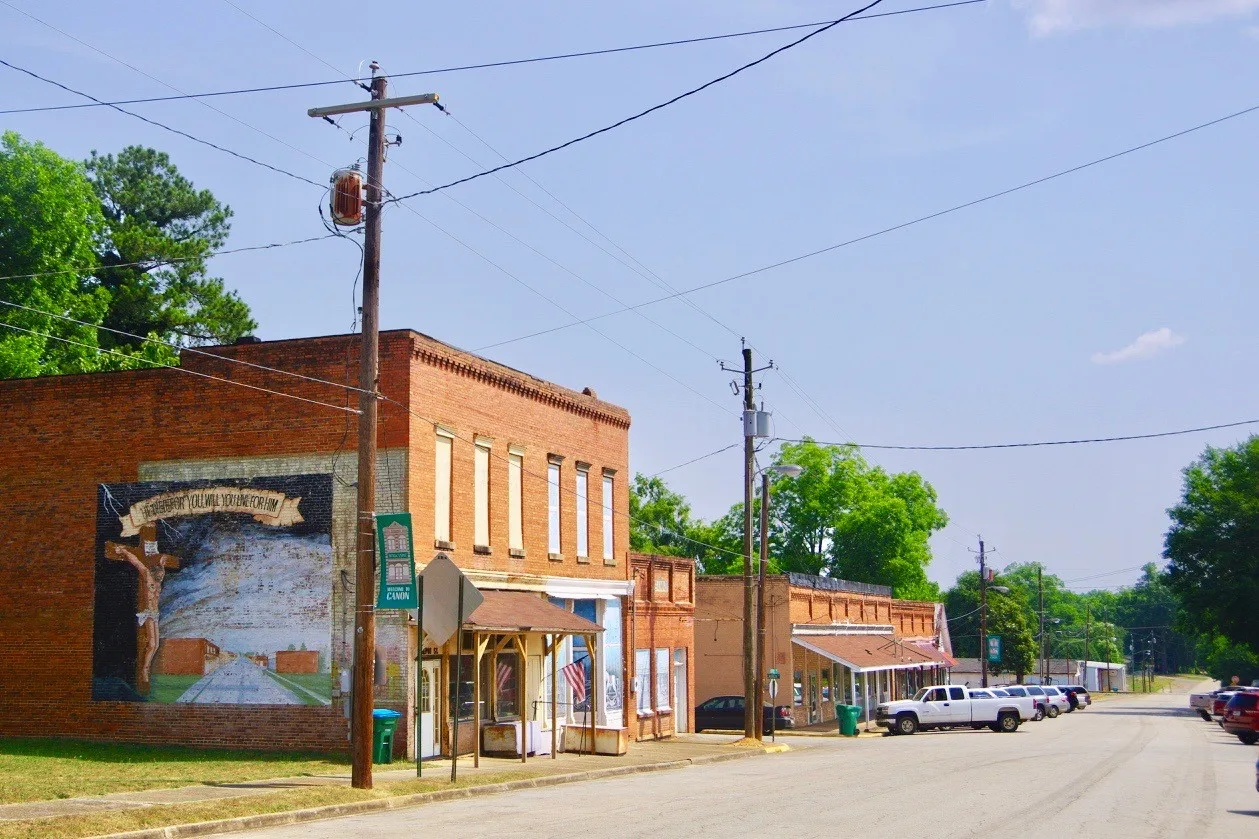
Businesses along Depot Street in Canon, Georgia, United States. Photo: Brian Stansberry. CC BY 4.0; resized for display. Area view.
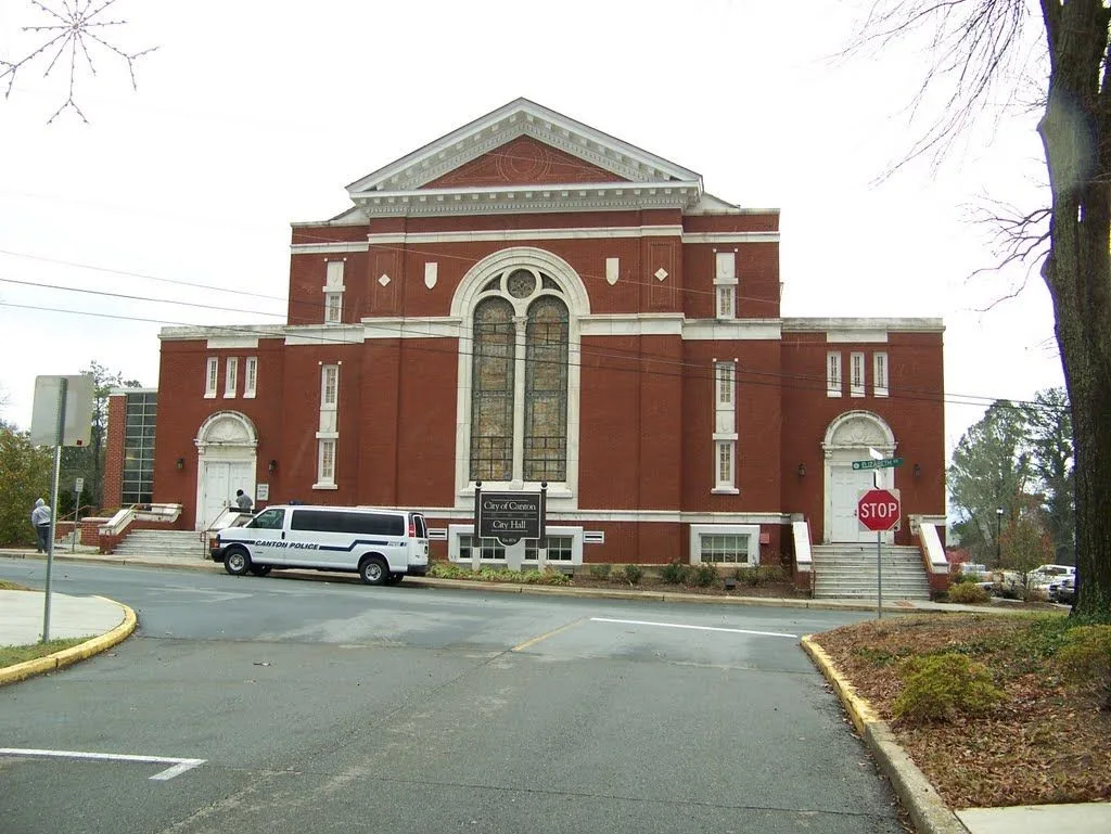
Canton City Hall in the historic district, Georgia Photo: Upstateherd. CC BY-SA 4.0; resized for display. Area view.
Businesses at Carrollton, Georgia Photo: Myotus. CC BY 4.0; resized for display. Area view.
Cartersville City Hall Photo: Thomson200. CC0; resized for display. Area view.
Downtown Cave Spring, Georgia Photo: Cculber007 at en.wikipedia. Public domain; resized for display. Area view.
Downtown Cedartown taken by Cculber007 on September 1, 2007 Photo: Cculber007 at en.wikipedia. CC BY-SA 3.0; resized for display. Area view.
Peachtree Road, Chamblee, Georgia Photo: Thomson200. CC0; resized for display. Area view.
Downtown Chatsworth, Georgia Photo: Thomson200. CC0; resized for display. Area view.
Historical aerial view of Chickamauga, Georgia. Imagery date not established; geographic context, not a service-area boundary. Photo: USGS / USDA — National Agriculture Imagery Program. Public domain; resized for display. Area view.
Historical aerial view of Clarkesville, Georgia. Imagery date not established; geographic context, not a service-area boundary. Photo: USGS / USDA — National Agriculture Imagery Program. Public domain; resized for display. Area view.
Clarkston, Georgia Photo: Thomson200. CC0; resized for display. Area view.
Aerial of downtown Clayton, Georgia, in Rabun County Photo: Harrison Keely. CC BY 4.0; resized for display. Area view.
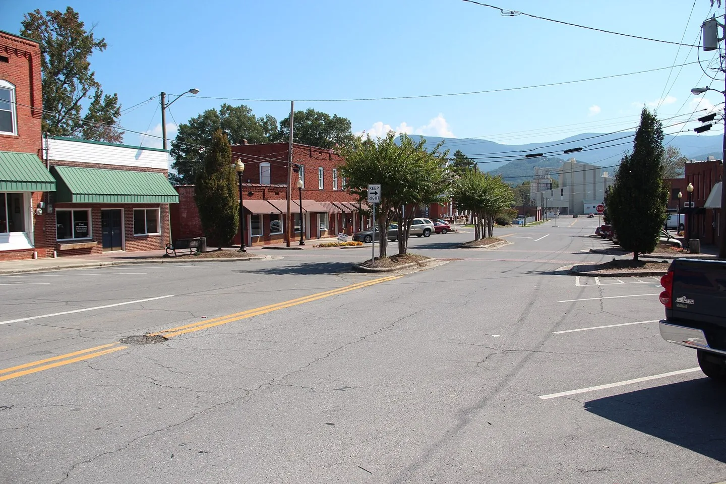
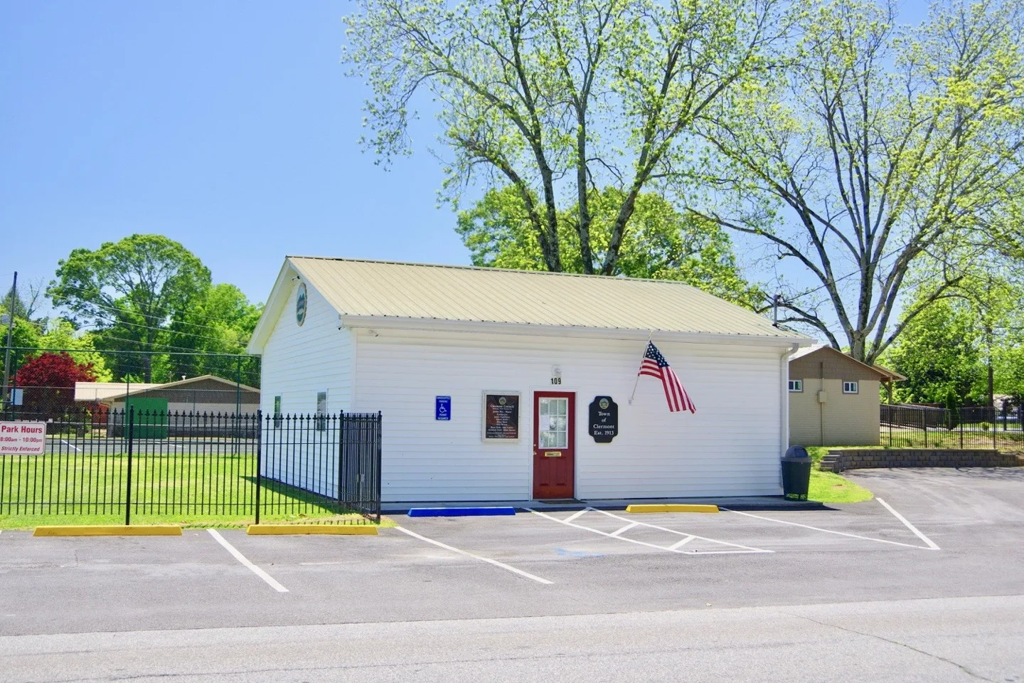
Town Hall in Clermont, Georgia, United States Photo: Brian Stansberry. CC BY 4.0; resized for display. Area view.
Cleveland, White County, Georgia Photo: Michael Rivera. CC BY-SA 4.0; resized for display. Area view.
Town Hall in Cohutta, Georgia, United States. Photo: Brian Stansberry. CC BY 4.0; resized for display. Area view.
Colbert Depot, now City Hall, in Colbert, Georgia, United States. Photo: Brian Stansberry. CC BY 4.0; resized for display. Area view.
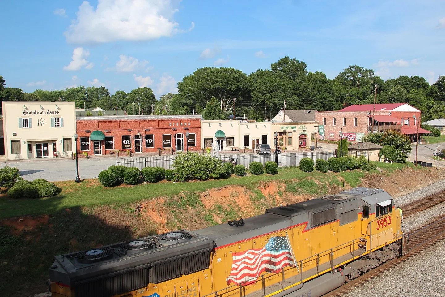
Downtown College Park, GA. Taken from the College Park Train Depot, looking down Main St toward Harvard Ave. Photo: Tn8r8r. CC BY-SA 4.0; resized for display. Area view.
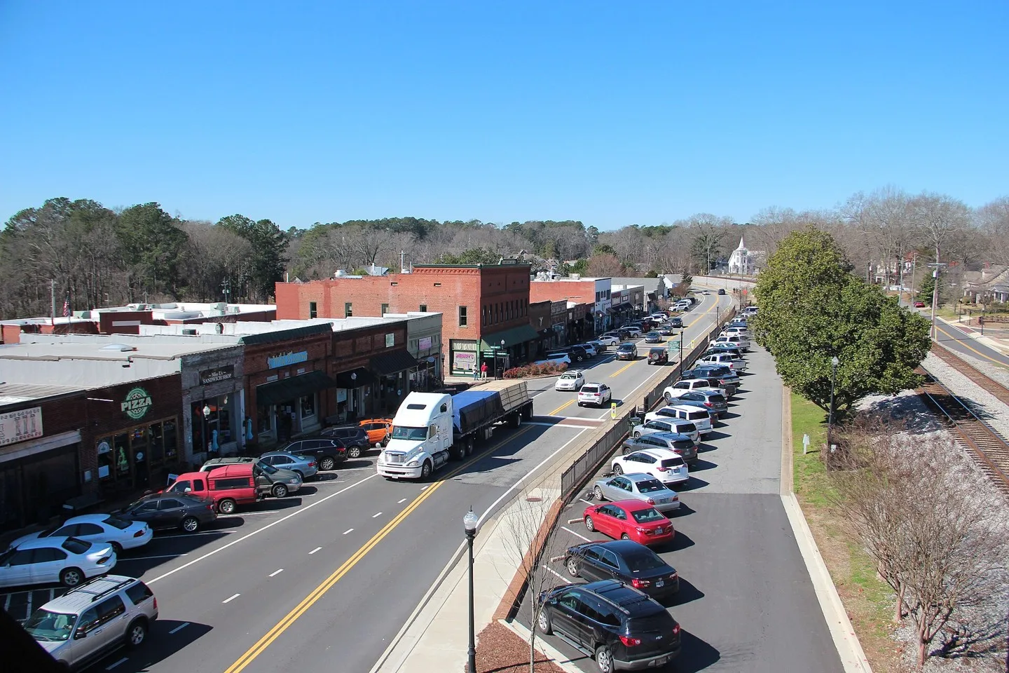
View of Downtown Columbus, Georgia from across the Chattahoochee River Photo: PghPhxNfk. CC BY-SA 4.0; resized for display. Area view.
Businesses along North Avenue in Comer, Georgia, United States Photo: Brian Stansberry. CC BY 4.0; resized for display. Area view.
Historical aerial view of Commerce, Georgia. Imagery date not established; geographic context, not a service-area boundary. Photo: USGS / USDA — National Agriculture Imagery Program. Public domain; resized for display. Area view.
Concord City Hall, Concord, Pike County, Georgia Photo: Michael Rivera. CC BY-SA 4.0; resized for display. Area view.
Historical aerial view of Conley, Georgia. Imagery date not established; geographic context, not a service-area boundary. Photo: USGS / USDA — National Agriculture Imagery Program. Public domain; resized for display. Area view.
Photo of Olde Town Conyers in Rockdale County, Georgia. Photo taken by Steve Karg Photo: The original uploader was Skarg at English Wikipedia.. CC BY 2.5; resized for display. Area view.
Downtown Cornelia, Georgia Photo: Thomson200. CC0; resized for display. Area view.
Historical aerial view of Covington, Georgia. Imagery date not established; geographic context, not a service-area boundary. Photo: USGS / USDA — National Agriculture Imagery Program. Public domain; resized for display. Area view.
Historical aerial view of Crawford, Georgia. Imagery date not established; geographic context, not a service-area boundary. Photo: USGS / USDA — National Agriculture Imagery Program. Public domain; resized for display. Area view.
Crawfordville, Georgia — geographic photograph Photo: TampAGS, for AGS Media. CC BY-SA 3.0; resized for display. Area view.
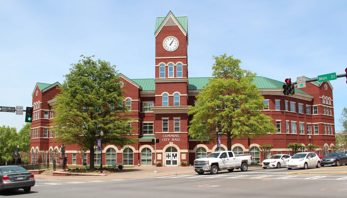
Cumming City Hall, Georgia Photo: Thomson200. CC0 1.0; resized for display. Area view.
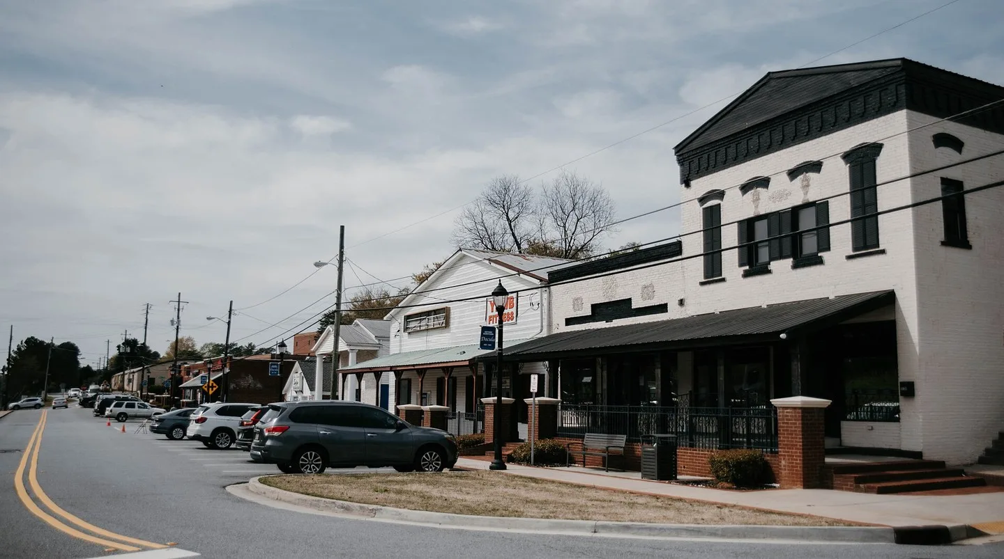
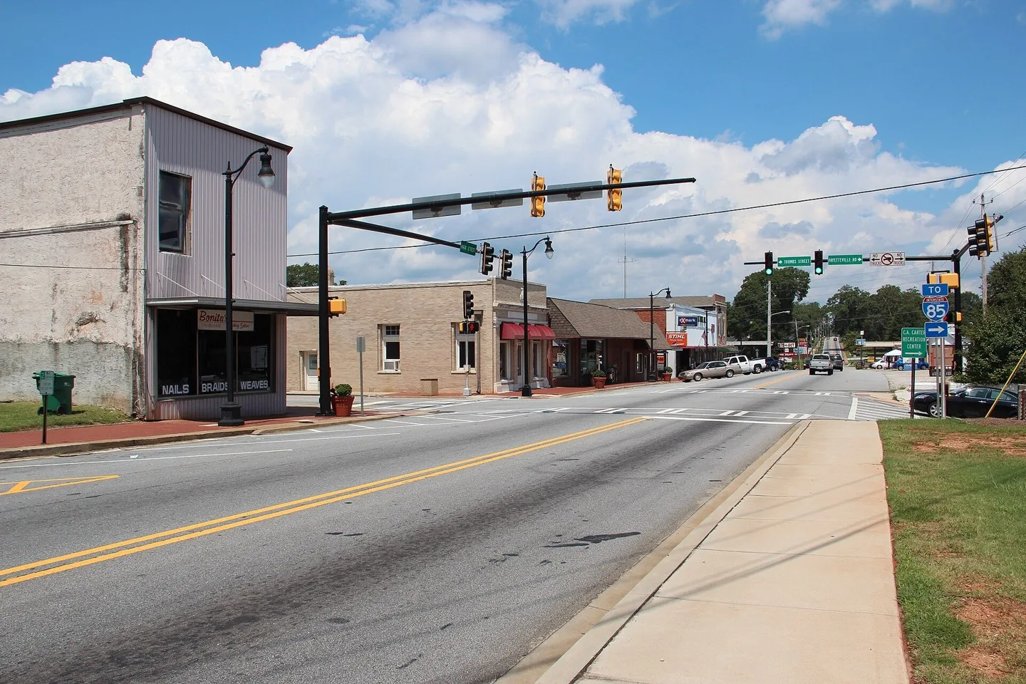
2nd Avenue is home to Dacula's original commercial center. Photo: Dacula1Resident. CC BY-SA 4.0; resized for display. Area view.
Historical Paulding County Courthouse – Dallas GA Photo: TheMillCreek. CC BY-SA 3.0; resized for display. Area view.
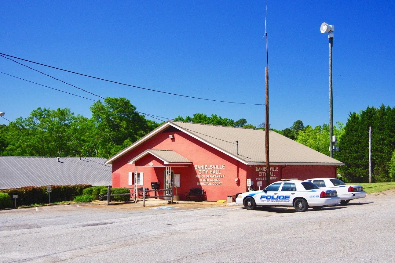
City Hall in Danielsville, Georgia, United States Photo: Brian Stansberry. CC BY 4.0; resized for display. Area view.
Dawson Historic District, Dawson, Terrell County, Georgia Photo: Michael Rivera. CC BY-SA 4.0; resized for display. Area view.
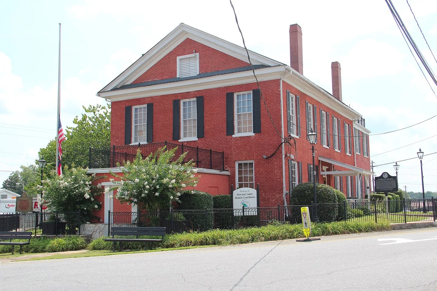
Old Dawson County Courthouse, Dawsonville, Georgia Photo: Thomson200. CC0; resized for display. Area view.
Downtown Decatur, Georgia, USA Photo: Lincolnh. CC BY-SA 3.0; resized for display. Area view.
Historical aerial view of Demorest, Georgia. Imagery date not established; geographic context, not a service-area boundary. Photo: USGS / USDA — National Agriculture Imagery Program. Public domain; resized for display. Area view.
Dillard, GA view after eclipse, Aug 21 2017 Photo: Thomson200. CC0; resized for display. Area view.
City Hall, Douglas, Coffee County, Georgia 2022 Photo: Michael Rivera. CC BY-SA 4.0; resized for display. Area view.
Douglas County Courthouse, Georgia, USA Photo: Kåre Thor Olsen. CC BY-SA 3.0; resized for display. Area view.
City Hall, Duluth, Georgia. Photo: Hans J E from Lawrenceville, US. CC BY-SA 2.0; resized for display. Area view.
East Ellijay city hall Photo: Thomson200. CC0; resized for display. Area view.
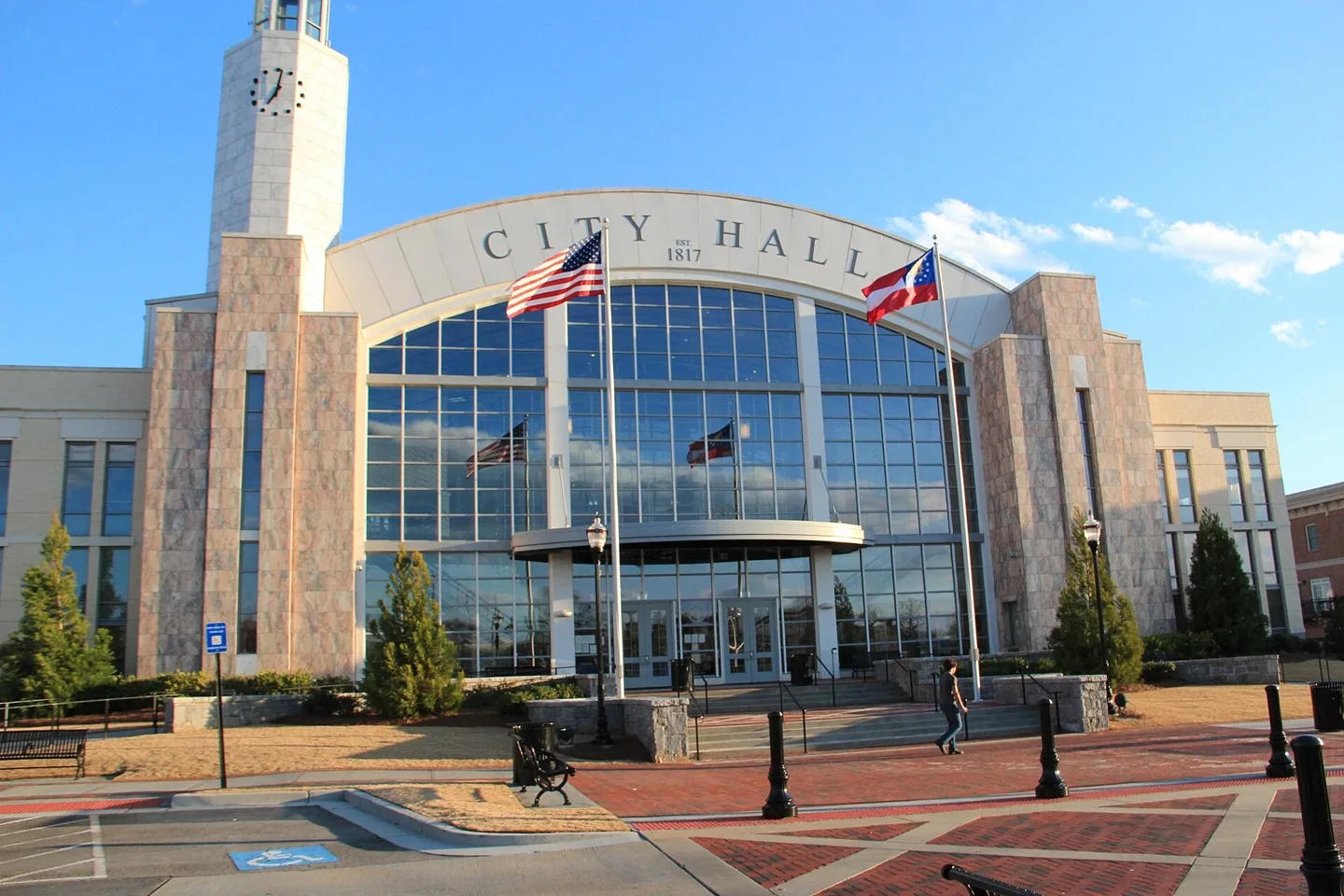
East Point City Hall Photo: Xavierhouston1. CC BY 4.0; resized for display. Area view.
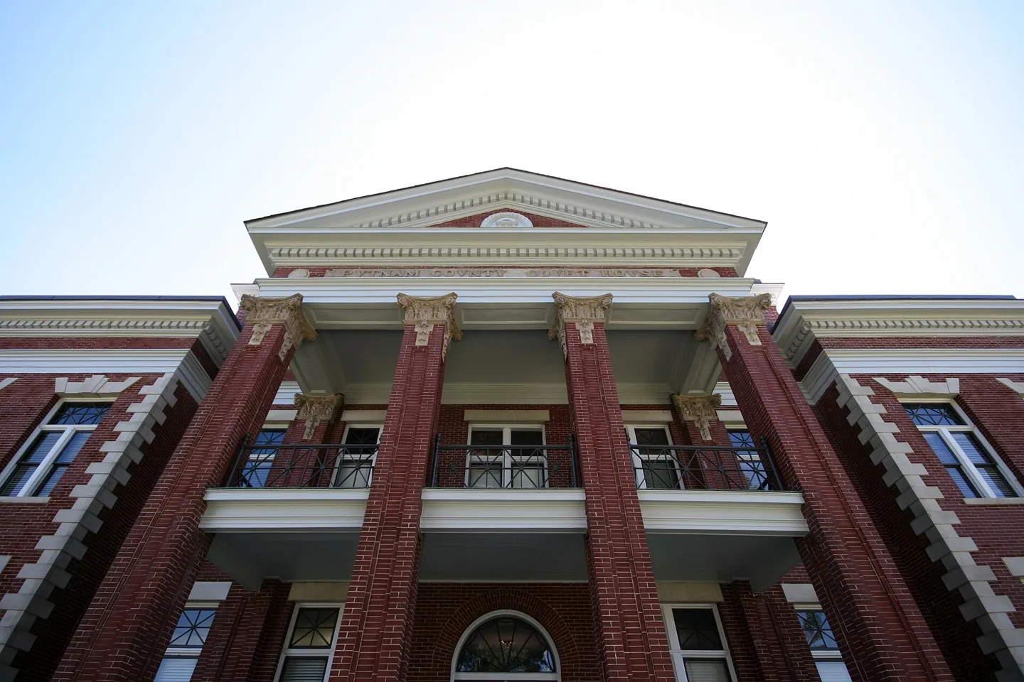
Putnam County courthouse in Eatonton, Georgia Photo: John Trainor. CC BY 2.0; resized for display. Area view.
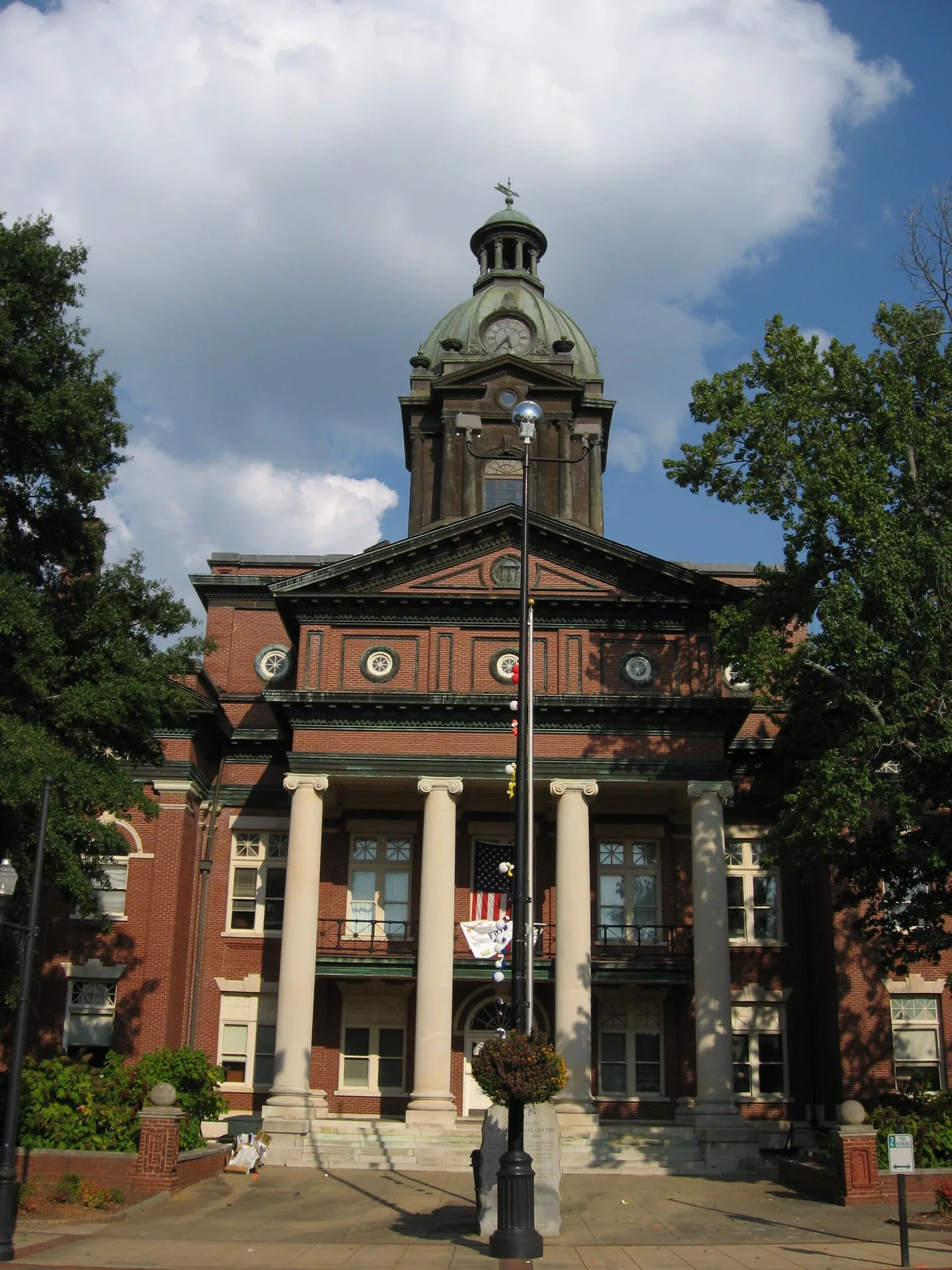
Elbert County Courthouse in Elberton, Georgia Photo: Dee Whitlow. CC BY-SA 3.0; resized for display. Area view.
View from downtown Ellijay, GA. Photo: Tamparitus. CC BY-SA 4.0; resized for display. Area view.
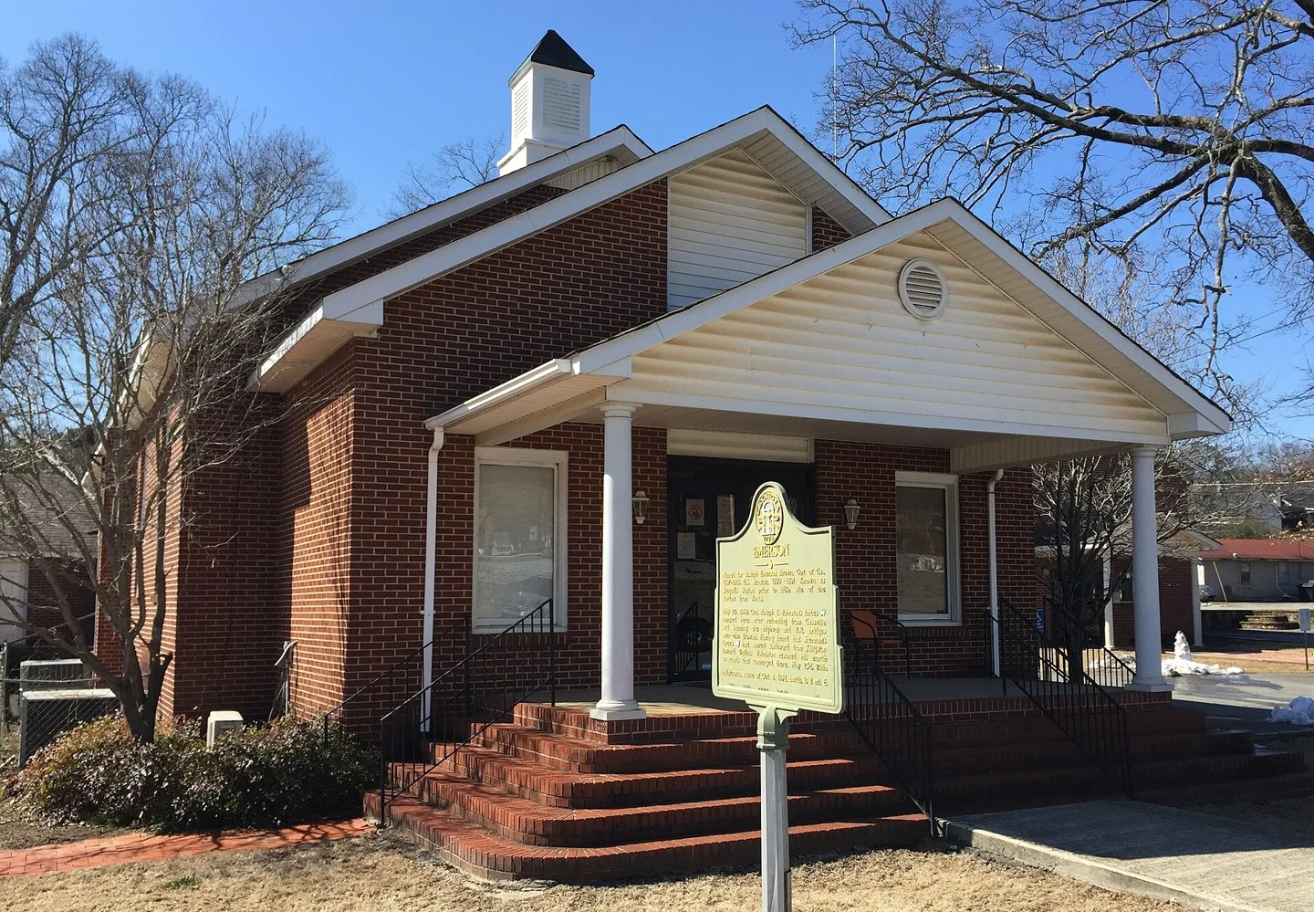
Emerson, Georgia City Hall Photo: Thomson200. CC0; resized for display. Area view.
Park landscape in Eton, Georgia Photo: Thomson M. CC BY 3.0; resized for display. Area view.
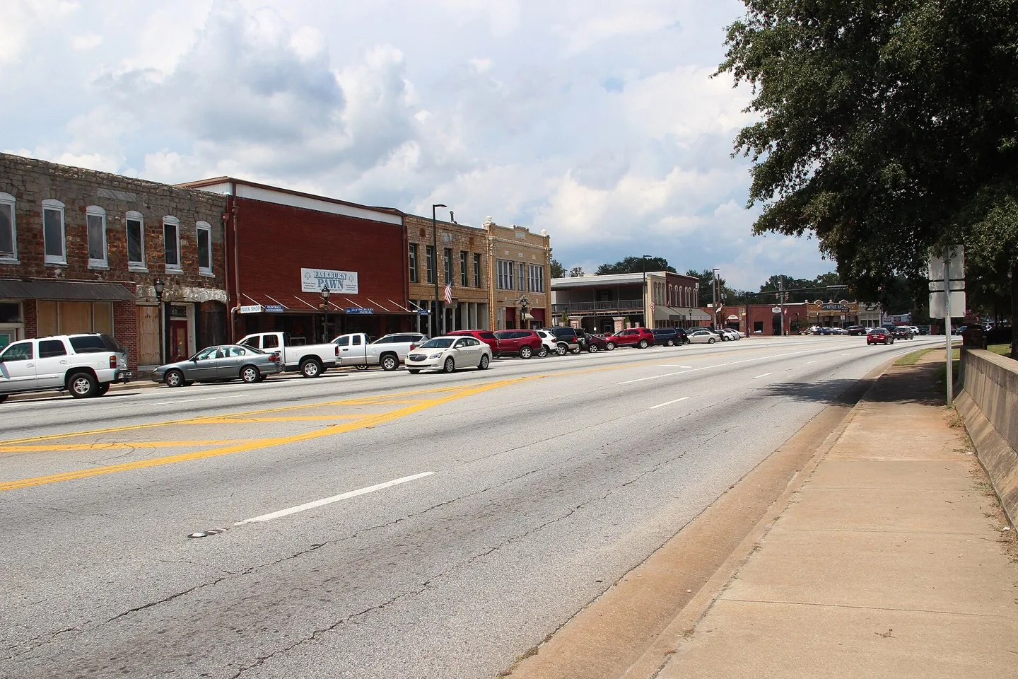
US Route 29 in Fairburn, Georgia Photo: Thomson200. CC0; resized for display. Area view.
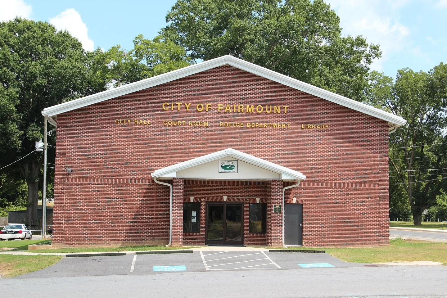
Fairmount, Georgia City Hall Photo: Thomson200. CC0; resized for display. Area view.
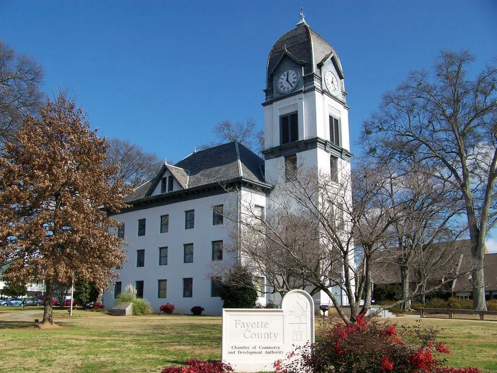
Old Fayette County Courthouse in Fayetteville, Georgia Photo: Upstateherd. CC BY-SA 4.0; resized for display. Area view.
municipality of Georgia Photo: Light-jet pilot. CC BY-SA 3.0; resized for display. Area view.
Main Street, Flowery Branch Georgia Photo: John Phelan. CC BY-SA 3.0; resized for display. Area view.
City Hall in Folkston, Georgia, US Photo: Bubba73 (Jud McCranie). CC BY-SA 4.0; resized for display. Area view.
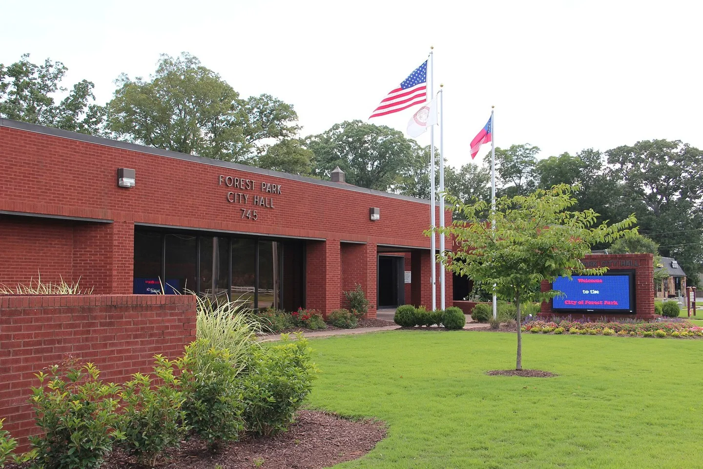
Forest Park, Georgia City Hall Photo: Thomson200. CC0; resized for display. Area view.
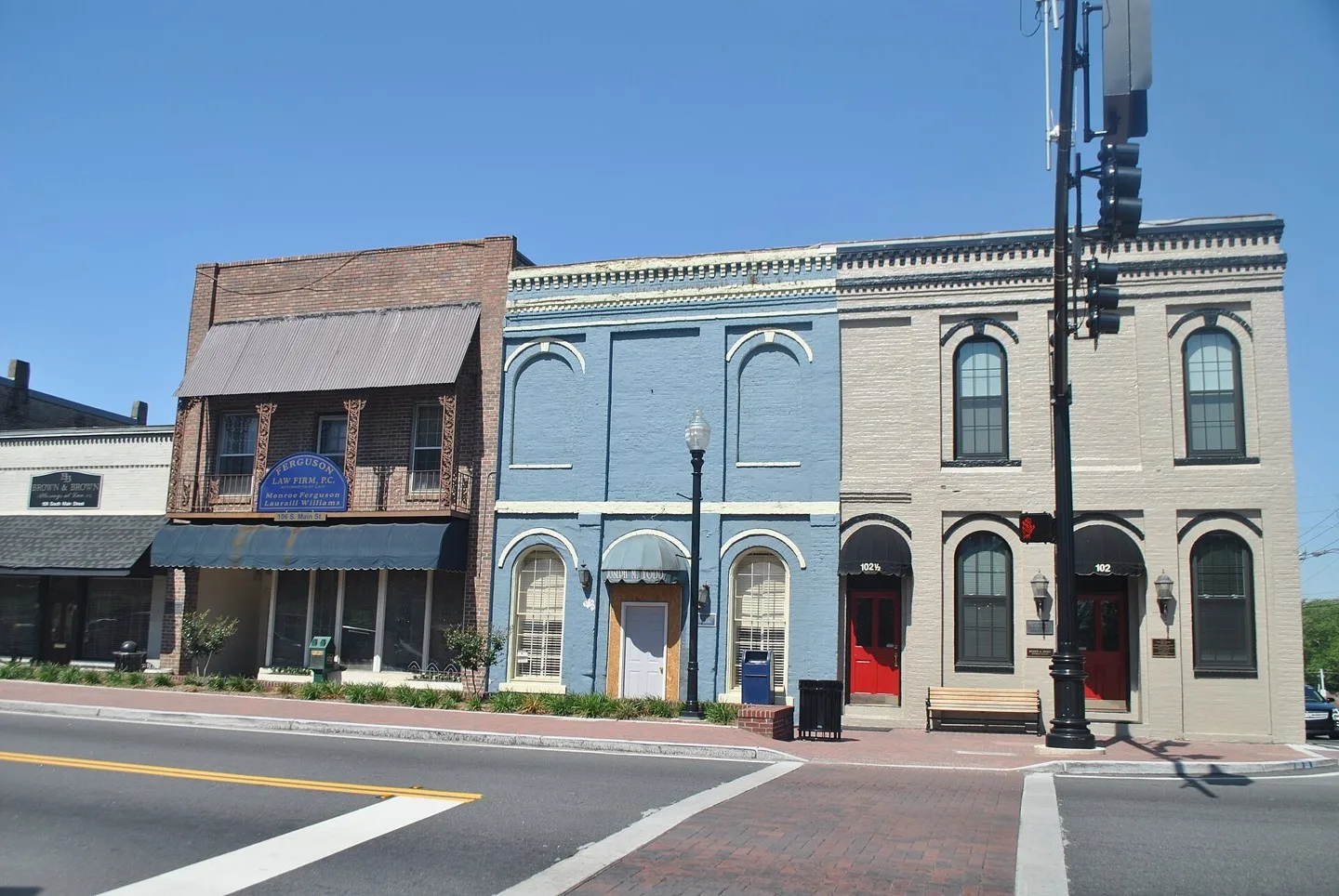
Forsyth City Hall in Forsyth, Monroe County, Georgia. Corner of N. Jackson St. and W. Johnston St., across the street from the county courthouse. Photo: Michael Rivera. CC BY-SA 3.0; resized for display. Area view.
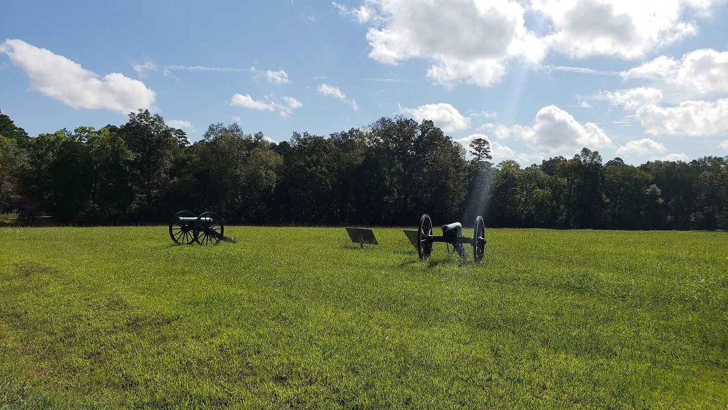
Chickamauga Battlefield landscape near Fort Oglethorpe, Georgia Photo: DYalden. CC BY-SA 4.0; resized for display. Area view.
City Hall in Franklin Springs, Georgia, United States. Photo: Brian Stansberry. CC BY 4.0; resized for display. Area view.
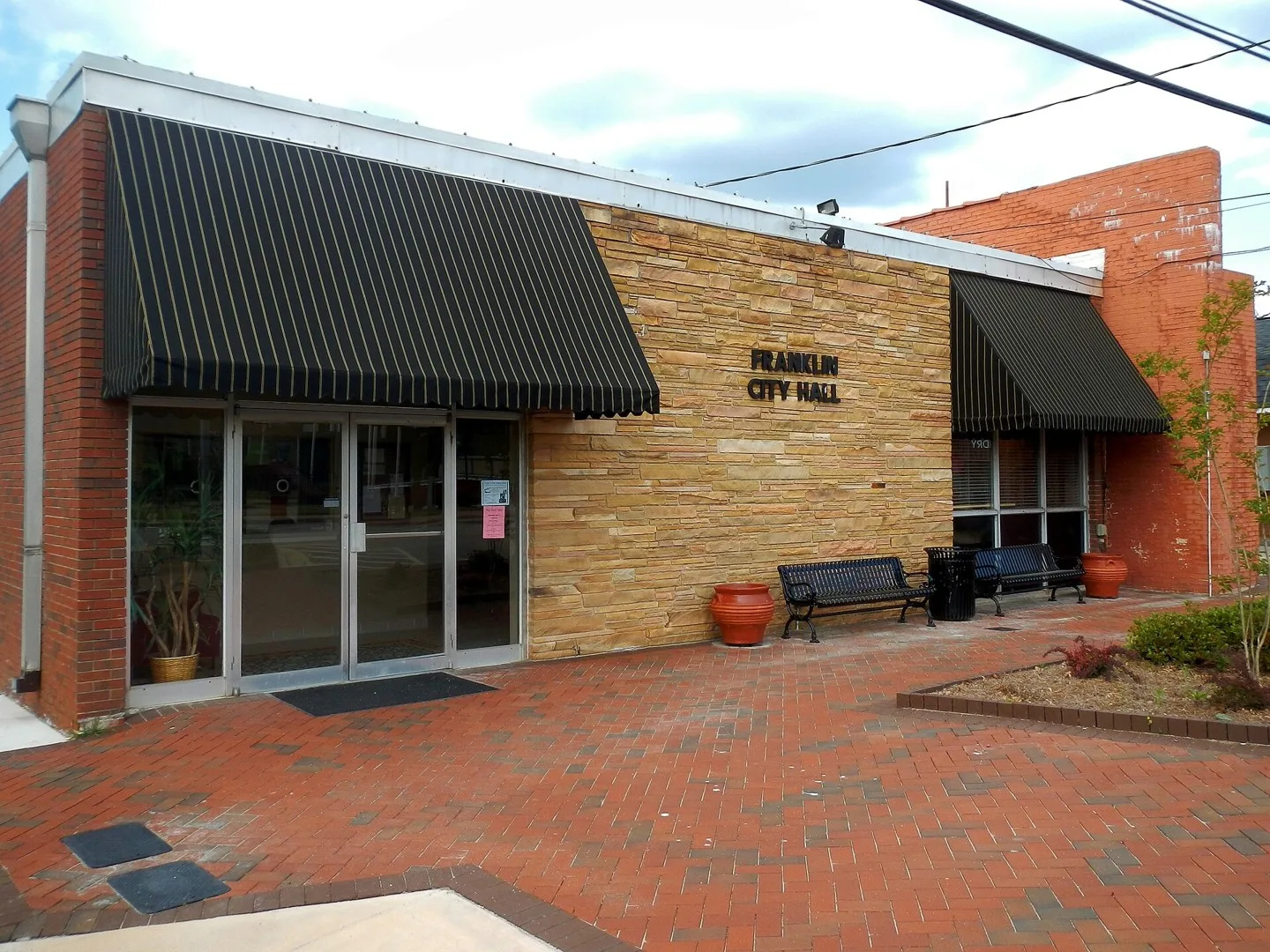
This is a photo of the Franklin, GA city hall. Photo: SaveRivers. CC BY-SA 3.0; resized for display. Area view.
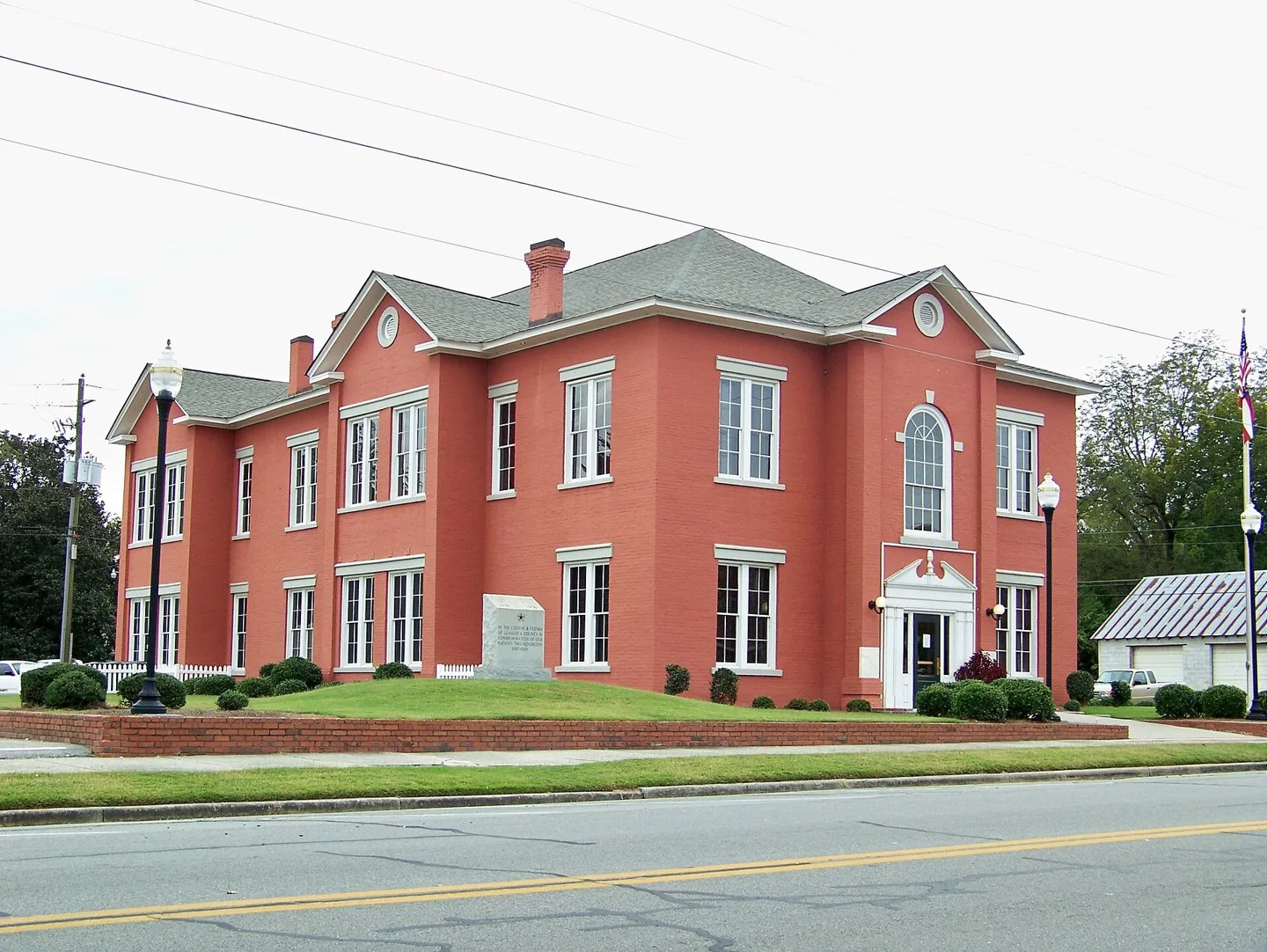
Glascock County Courthouse Photo: Upstateherd. CC BY-SA 3.0; resized for display. Area view.
Historical aerial view of Gordon, Georgia. Imagery date not established; geographic context, not a service-area boundary. Photo: USGS / USDA — National Agriculture Imagery Program. Public domain; resized for display. Area view.
Historic passenger depot in Grantville, Georgia Photo: Upstateherd. CC BY-SA 4.0; resized for display. Area view.
Water Tower is near downtown Gray, Ga Photo: Mihand35. CC BY-SA 4.0; resized for display. Area view.
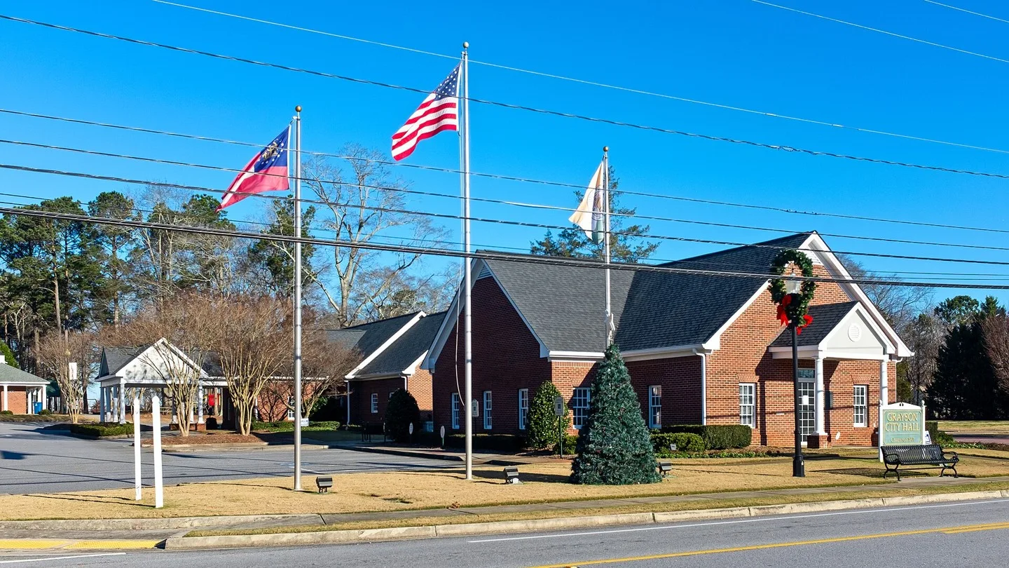
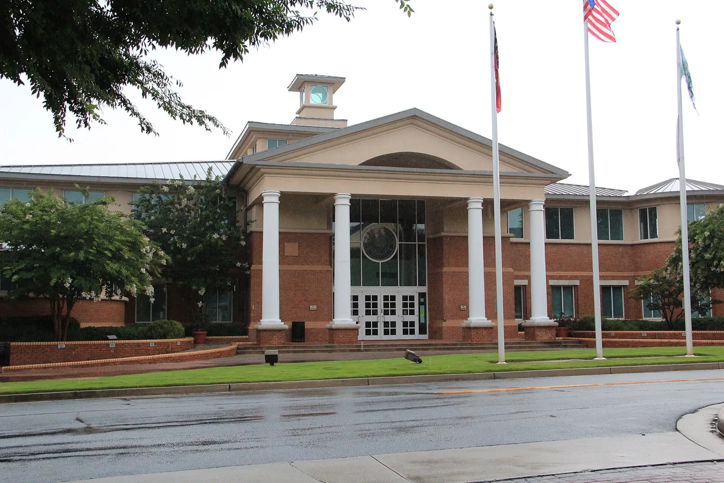
City Hall of Grayson, Georgia. Flags are (L to R) Georgia state flag, US Flag, and Grayson city flag. Photo: Northwalker. CC0; resized for display. Area view.
Baber House and Museum in Greensboro, Georgia Photo: Cynthia Jennings. CC BY-SA 4.0; resized for display. Area view.
This is a photograph I took of the city hall in Greenville, GA. Photo: SaveRivers. CC BY-SA 3.0; resized for display. Area view.
Griffin City Hall, City Services Building, Griffin, Spalding County, Georgia Photo: Michael Rivera. CC BY-SA 4.0; resized for display. Area view.
Historical aerial view of Gumlog, Georgia. Imagery date not established; geographic context, not a service-area boundary. Photo: USGS / USDA — National Agriculture Imagery Program. Public domain; resized for display. Area view.
This is a photograph of Hamilton, Georgia. Photo: Rivers Langley; SaveRivers. CC BY-SA 3.0; resized for display. Area view.
Historical aerial view of Hampton, Georgia. Imagery date not established; geographic context, not a service-area boundary. Photo: USGS / USDA — National Agriculture Imagery Program. Public domain; resized for display. Area view.
Historical aerial view of Hardwick, Baldwin County, Georgia. Imagery date not established; geographic context, not a service-area boundary. Photo: USGS / USDA — National Agriculture Imagery Program. Public domain; resized for display. Area view.
Historical aerial view of Harrison, Georgia. Imagery date not established; geographic context, not a service-area boundary. Photo: USGS / USDA — National Agriculture Imagery Program. Public domain; resized for display. Area view.
Hartwell Commercial Historic District Photo: Upstateherd. CC BY-SA 4.0; resized for display. Area view.
Downtown Helen. Photo: Thomsonmg2000. CC0; resized for display. Area view.
Hiawassee, Georgia on Lake Chatuge in Towns County – aerial photo Photo: Harrison Keely. CC BY 4.0; resized for display. Area view.
Historical aerial view of North High Shoals, Georgia. Imagery date not established; geographic context, not a service-area boundary. Photo: USGS / USDA — National Agriculture Imagery Program. Public domain; resized for display. Area view.
Downtown Hiram Georgia, viewed from a bridge Photo: Thomson200. CC0; resized for display. Area view.
City Hall and Police Department in Hoboken, Georgia, US Photo: Jud McCranie. CC BY-SA 4.0; resized for display. Area view.
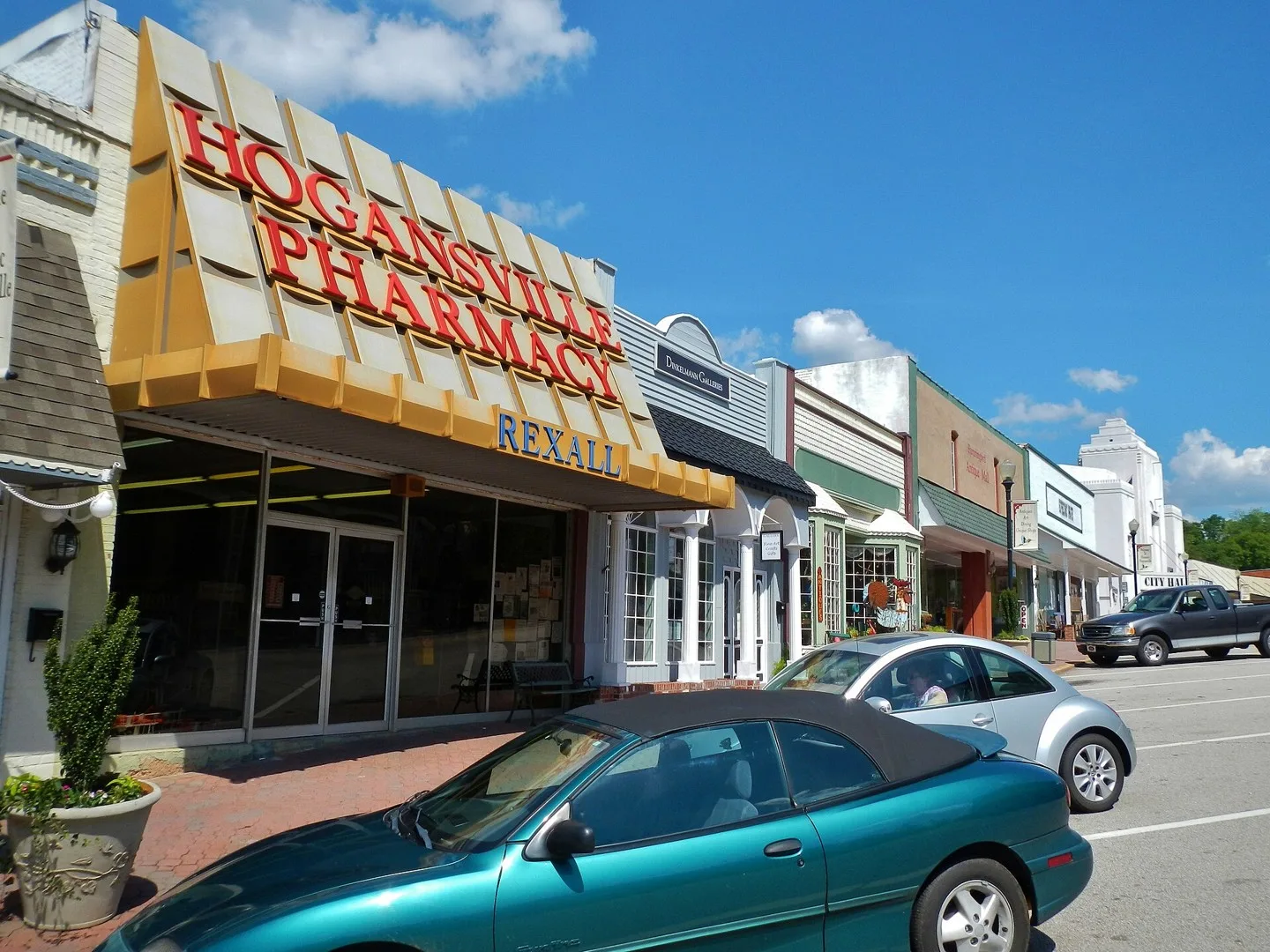
This is a photo of E. Main Street in Hogansville, Georgia. Photo: Rivers Langley; SaveRivers. CC BY-SA 3.0; resized for display. Area view.
Holly Springs, Georgia train depot Photo: Thomson200. CC0; resized for display. Area view.
Downtown Homer, Georgia Photo: Richard Chambers. Public domain; resized for display. Area view.
Homerville City Hall in Homerville, Clinch County, Georgia Photo: Michael Rivera. CC BY-SA 3.0; resized for display. Area view.
City Hall in Hoschton, Georgia Photo: Chris Pruitt. CC BY-SA 3.0; resized for display. Area view.
Downtown Jasper Georgia Photo: Thomson200. CC0; resized for display. Area view.
Jackson County Courthouse in Jefferson, Georgia Photo: Hhoschton. CC BY-SA 3.0; resized for display. Area view.
Historical aerial view of Jeffersonville, Georgia. Imagery date not established; geographic context, not a service-area boundary. Photo: USGS / USDA — National Agriculture Imagery Program. Public domain; resized for display. Area view.
Historical aerial view of Jenkinsburg, Georgia. Imagery date not established; geographic context, not a service-area boundary. Photo: USGS / USDA — National Agriculture Imagery Program. Public domain; resized for display. Area view.
Jonesboro Historic District, GA 54 and 3 Jonesboro Photo: Www78. CC BY-SA 3.0; resized for display. Area view.
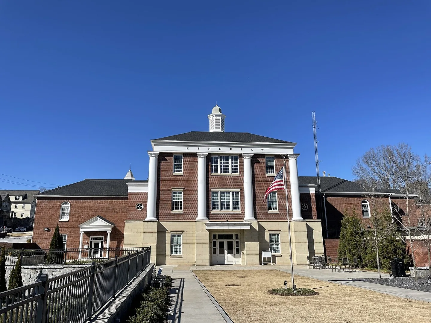
Kennesaw City Hall, Georgia Photo: Tyler Lahti. CC BY-SA 4.0; resized for display. Area view.
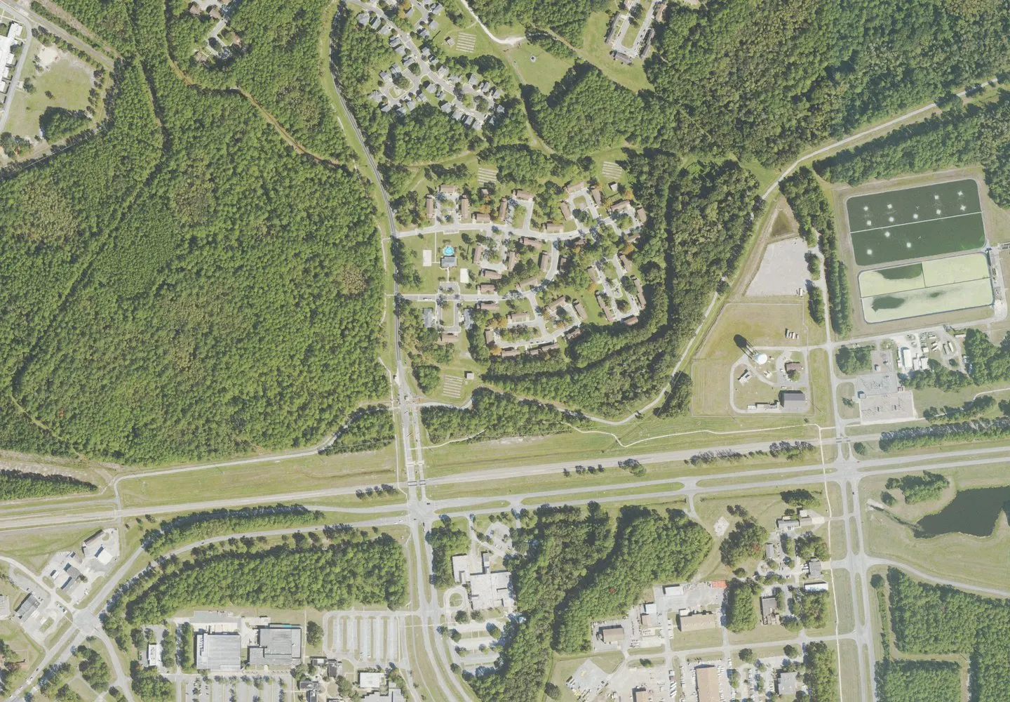
Historical aerial view of Kings Bay Base, Georgia. Imagery date not established; geographic context, not a service-area boundary. Photo: USGS / USDA — National Agriculture Imagery Program. Public domain; resized for display. Area view.
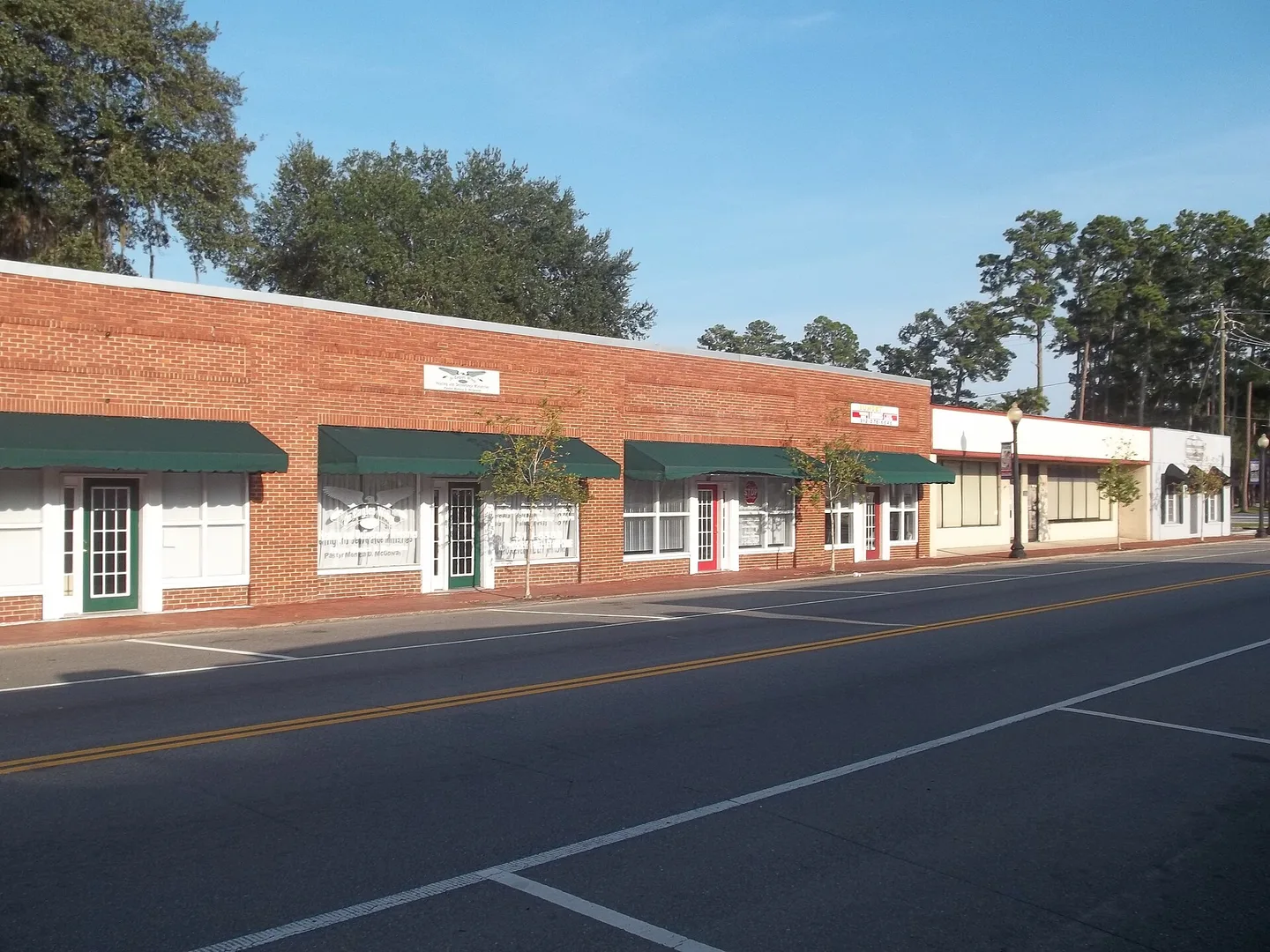
Kingsland Commercial Historic District, Georgia Photo: Ebyabe. CC BY-SA 3.0; resized for display. Area view.
Kingston, Georgia historical district Photo: Thomson200. CC0; resized for display. Area view.
This is a photograph of the courthouse square in LaGrange, Georgia. Photo: Rivers Langley; SaveRivers. CC BY-SA 3.0; resized for display. Area view.
Georgia – Lavonia – Main Street Photo: muffinn from Worcester, UK. CC BY 2.0; resized for display. Area view.
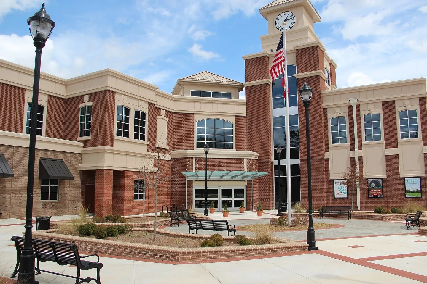
Lilburn City Hall Photo: Thomson200. CC0; resized for display. Area view.
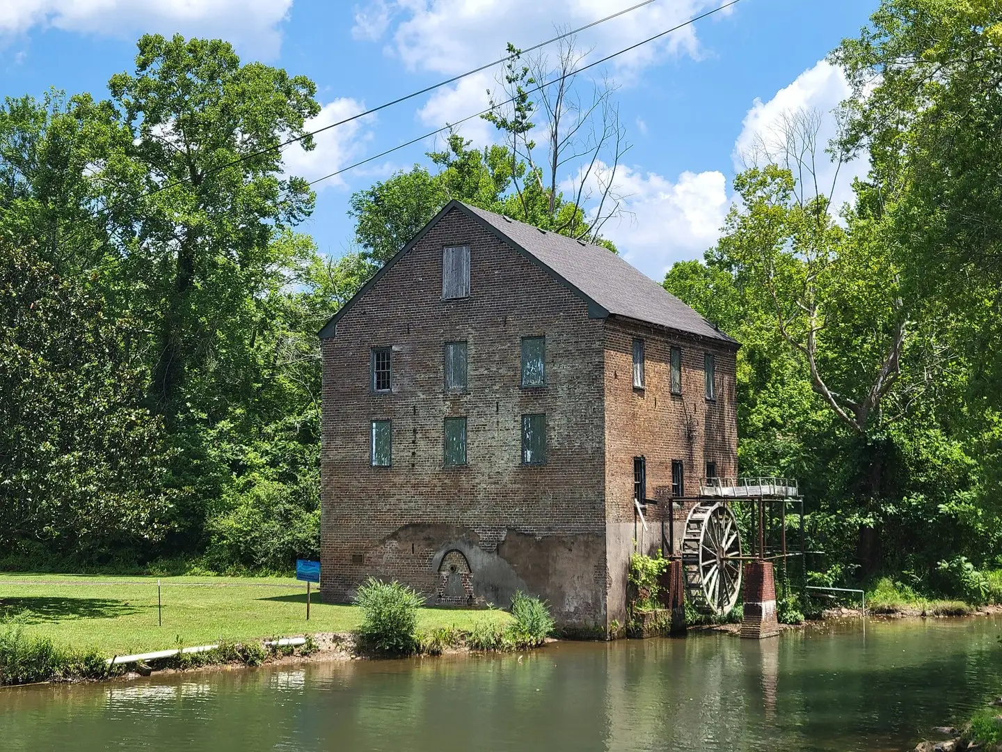
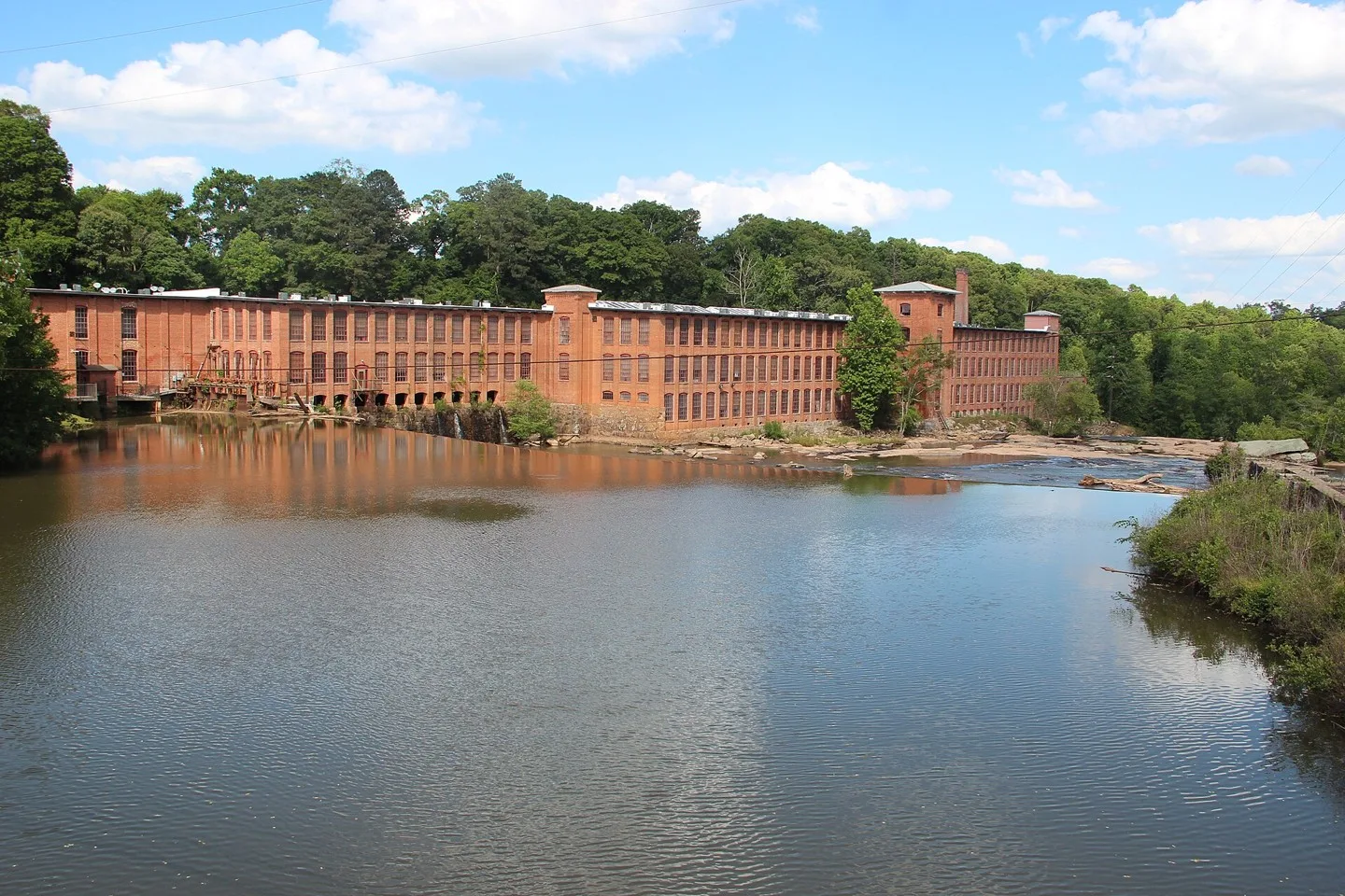
Old Brick Mill, Lindale Georgia Photo: John Phelan. CC BY 4.0; resized for display. Area view.
George H. Sparks Reservoir near Lithia Springs, Georgia Photo: qwesy qwesy. CC BY 3.0; resized for display. Area view.
Granite sign at the corner of Main Street and Max Cleland Boulevard in downtown Lithonia, Georgia welcoming visitors to the town. Photo: Tim Farley. CC BY-SA 4.0; resized for display. Area view.
Locust Grove Institute / City Hall Photo: csmith/dbb1. CC BY-SA 3.0; resized for display. Area view.
Historical aerial view of Lovejoy, Georgia. Imagery date not established; geographic context, not a service-area boundary. Photo: USGS / USDA — National Agriculture Imagery Program. Public domain; resized for display. Area view.
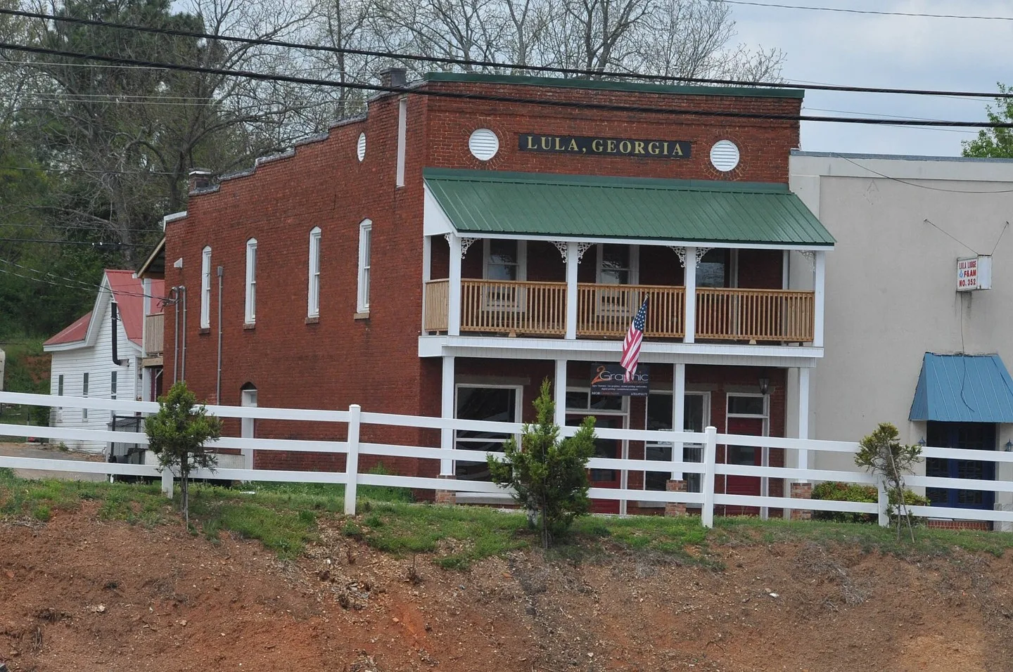
INTERESTING COMMERCIAL STORE ON MAIN STREET WITH "LULA GEORGIA" AT THE TOP Photo: Jerrye & Roy Klotz, MD. CC BY-SA 3.0; resized for display. Area view.
Stewart County Courthouse in Lumpkin, Georgia, USA. Photo: Robbie Honerkamp. CC BY-SA 3.0; resized for display. Area view.
Businesses on Oak Street at Main Street Luthersville, Georgia Photo: Myotus. CC BY 4.0; resized for display. Area view.
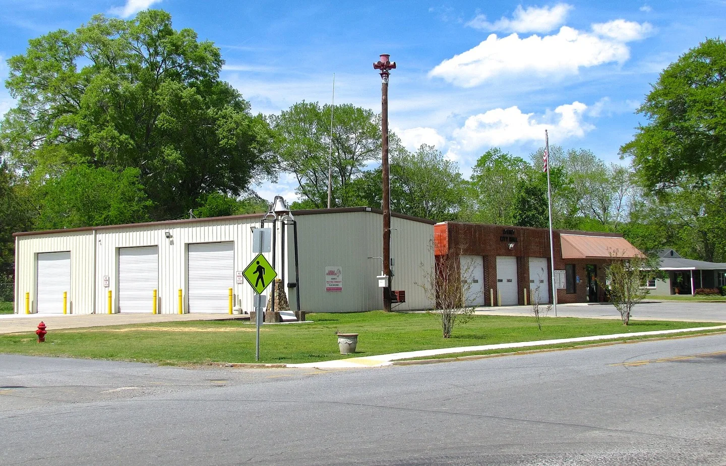
City Hall in Lyerly, Georgia, United States. The Lyerly Volunteer Fire Department occupies the building on the left. Photo: Brian Stansberry. CC BY 4.0; resized for display. Area view.
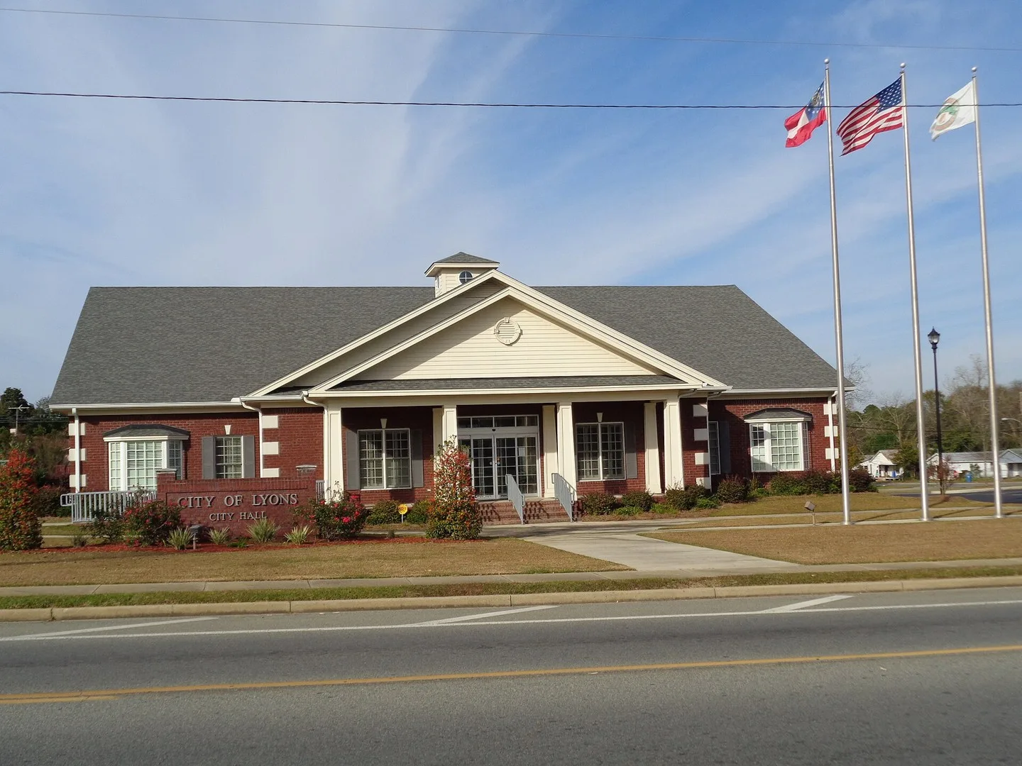
Lyons City Hall, Lyons, Toombs County, Georgia Photo: Michael Rivera. CC BY-SA 4.0; resized for display. Area view.
Morgan County Courthouse This is an image of a place or building that is listed on the National Register of Historic Places in the United States of America. Its reference number is 74000696 (Wikidata). Photo: csmith/dbb1. CC BY-SA 3.0; resized for display. Area view.
This is a photo of Manchester Georgia in 2012. Photo: Rivers Langley; SaveRivers. CC BY-SA 3.0; resized for display. Area view.
Mansfield, Georgia Photo: Northwalker. CC0; resized for display. Area view.
Main Street in Martin, Georgia, United States. Photo: Brian Stansberry. CC BY 4.0; resized for display. Area view.
The Henry County Courthouse in McDonough, Georgia. Photo: John Trainor from Roswell, GA, USA. CC BY 2.0; resized for display. Area view.
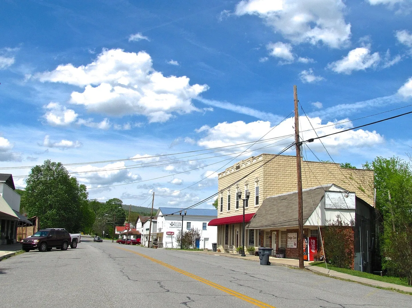
Buildings along 7th Avenue (Georgia State Route 337) in Menlo, Georgia, United States. Photo: Brian Stansberry. CC BY 4.0; resized for display. Area view.
Old Governor's Mansion Photo: Stephen Matthew Milligan. CC BY-SA 3.0; resized for display. Area view.
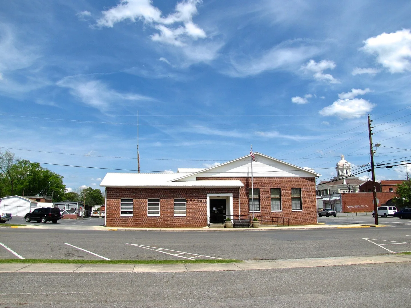
City Hall, Milner, Lamar County, Georgia Photo: Michael Rivera. CC BY-SA 4.0; resized for display. Area view.
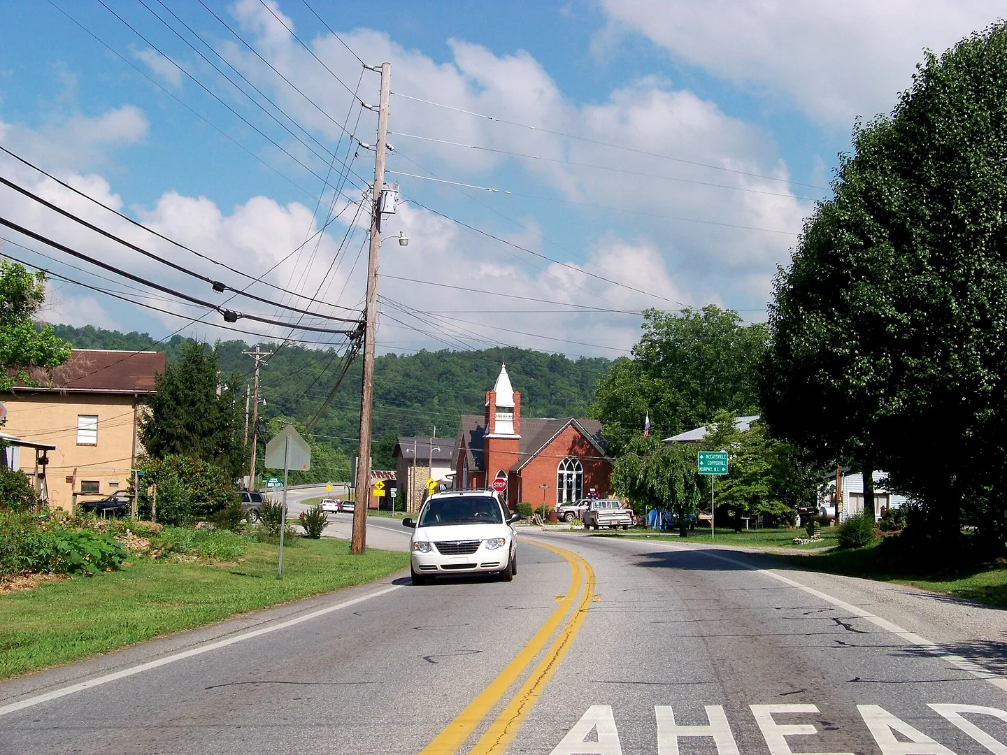
Street scene in Mineral Bluff, Georgia Photo: Idawriter. CC BY-SA 3.0; resized for display. Area view.
Molena City Hall, Molena, Pike County, Georgia Photo: Michael Rivera. CC BY-SA 4.0; resized for display. Area view.
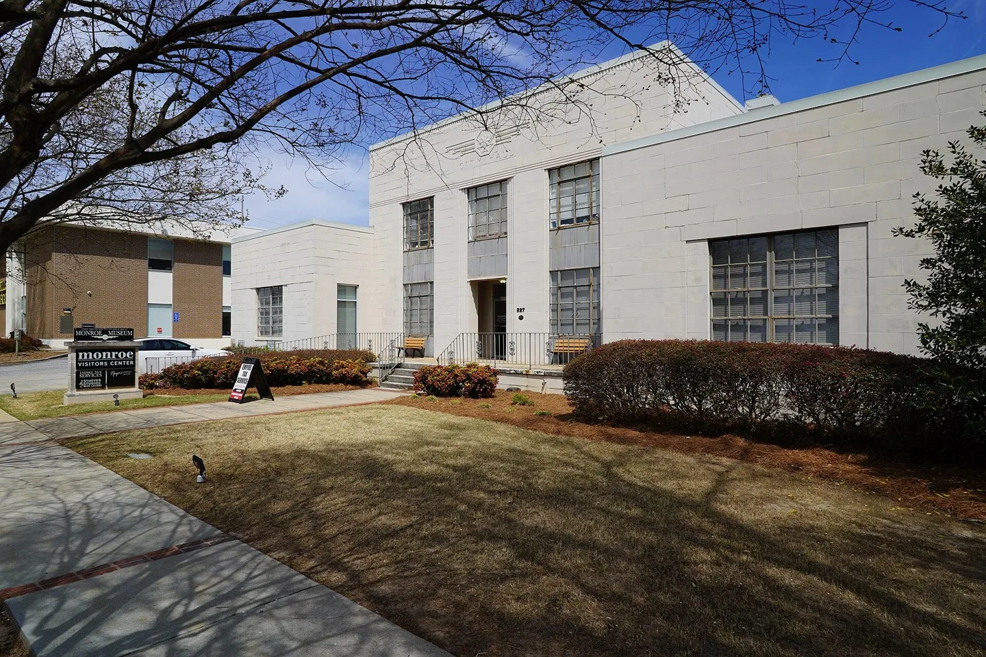
Monroe City Hall Photo: Quentin Melson. CC BY-SA 4.0; resized for display. Area view.
Monticello, GA Town Square Photo: Clockkicker at English Wikipedia, Robert Gunn (www.ourgun.blogspot.com). Public domain; resized for display. Area view.
Town of Moreland Welcome Center Photo: Bill Golladay. CC BY-SA 4.0; resized for display. Area view.
Morrow City Hall, Georgia Photo: Thomson200. CC0; resized for display. Area view.
Mount Airy, Georgia City Hall Photo: Thomson200. CC0; resized for display. Area view.
Historical aerial view of Mountain City, Georgia. Imagery date not established; geographic context, not a service-area boundary. Photo: USGS / USDA — National Agriculture Imagery Program. Public domain; resized for display. Area view.
Historical aerial view of Mountain Park, Fulton County, Georgia. Imagery date not established; geographic context, not a service-area boundary. Georgia has other communities with this name; confirm your county and ZIP code when asking about service. Photo: USGS / USDA — National Agriculture Imagery Program. Public domain; resized for display. Area view.
City Hall in Nahunta, Georgia, US Photo: Jud McCranie. CC BY-SA 4.0; resized for display. Area view.
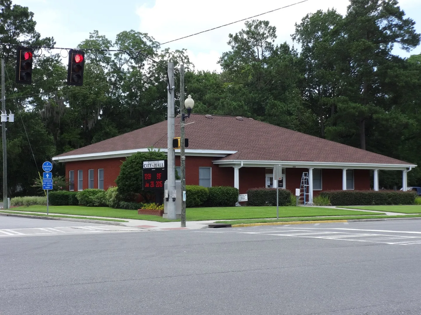
Nelson, Georgia city hall Photo: Thomson200. CC0; resized for display. Area view.
Historical aerial view of Newborn, Georgia. Imagery date not established; geographic context, not a service-area boundary. Photo: USGS / USDA — National Agriculture Imagery Program. Public domain; resized for display. Area view.
Holcomb Bridge Road, Norcross Photo: Thomson200. CC0; resized for display. Area view.
Historical aerial view of North Decatur, Georgia. Imagery date not established; geographic context, not a service-area boundary. Photo: USGS / USDA — National Agriculture Imagery Program. Public domain; resized for display. Area view.
Historical aerial view of North Druid Hills, Georgia. Imagery date not established; geographic context, not a service-area boundary. Photo: USGS / USDA — National Agriculture Imagery Program. Public domain; resized for display. Area view.
Oakwood City Hall Photo: Thomson200. CC0; resized for display. Area view.
Oglethorpe municipal building (city hall, public library, fire department, development authority), Oglethorpe, Macon County, Georgia Photo: Michael Rivera. CC BY-SA 4.0; resized for display. Area view.
Historical aerial view of Oxford, Georgia. Imagery date not established; geographic context, not a service-area boundary. Photo: USGS / USDA — National Agriculture Imagery Program. Public domain; resized for display. Area view.
U.S. Route 29 in Palmetto, Georgia Photo: Thomson200. CC0; resized for display. Area view.
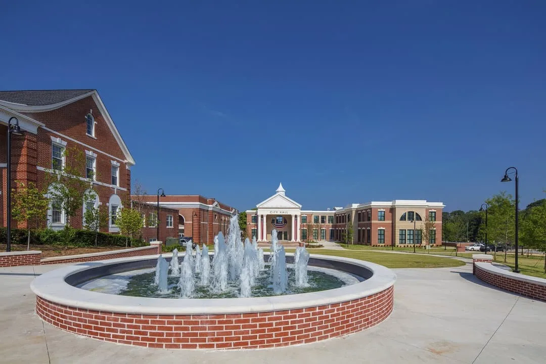
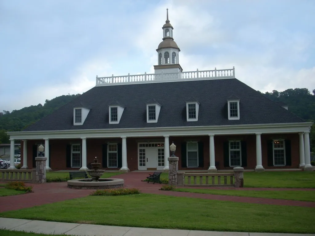
City Hall Fountain, Peachtree City, Georgia. Photo: Tony Bernard. CC BY-SA 2.0; resized for display. Area view.
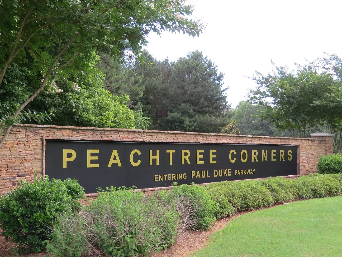
Gateway to Peachtree Corners Photo: J. Putnam. CC BY-SA 4.0; resized for display. Area view.
Historical aerial view of Pendergrass, Georgia. Imagery date not established; geographic context, not a service-area boundary. Photo: USGS / USDA — National Agriculture Imagery Program. Public domain; resized for display. Area view.
Pine Lake, Pine Lake, Georgia Photo: Thomson200. CC0; resized for display. Area view.
This is a photograph of downtown Pine Mountain, Georgia. Photo: Rivers Langley; SaveRivers. CC BY-SA 3.0; resized for display. Area view.
Porterdale Mill Photo: Thomson200. CC0; resized for display. Area view.
Powder Springs City Hall Photo: Xavierhouston1. CC BY 4.0; resized for display. Area view.
Historical aerial view of Redan, Georgia. Imagery date not established; geographic context, not a service-area boundary. Photo: USGS / USDA — National Agriculture Imagery Program. Public domain; resized for display. Area view.
Historical aerial view of Resaca, Georgia. Imagery date not established; geographic context, not a service-area boundary. Photo: USGS / USDA — National Agriculture Imagery Program. Public domain; resized for display. Area view.
Riverdale Town Center Photo: Thomson200. CC0; resized for display. Area view.
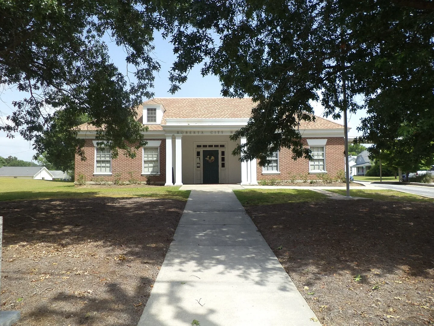
Roberta City Hall, 123 E Agency St, Roberta, Crawford County, Georgia Photo: Michael Rivera. CC BY-SA 3.0; resized for display. Area view.
Rockmart Downtown Historic District in October 2016 Photo: Thomson200. CC0; resized for display. Area view.
Historic City Hall in Rome, Georgia, US Photo: Bubba73 (Jud McCranie). CC BY-SA 4.0; resized for display. Area view.
Businesses along Church Street (SR 17) in Royston, Georgia, United States. Photo: Brian Stansberry. CC BY 4.0; resized for display. Area view.
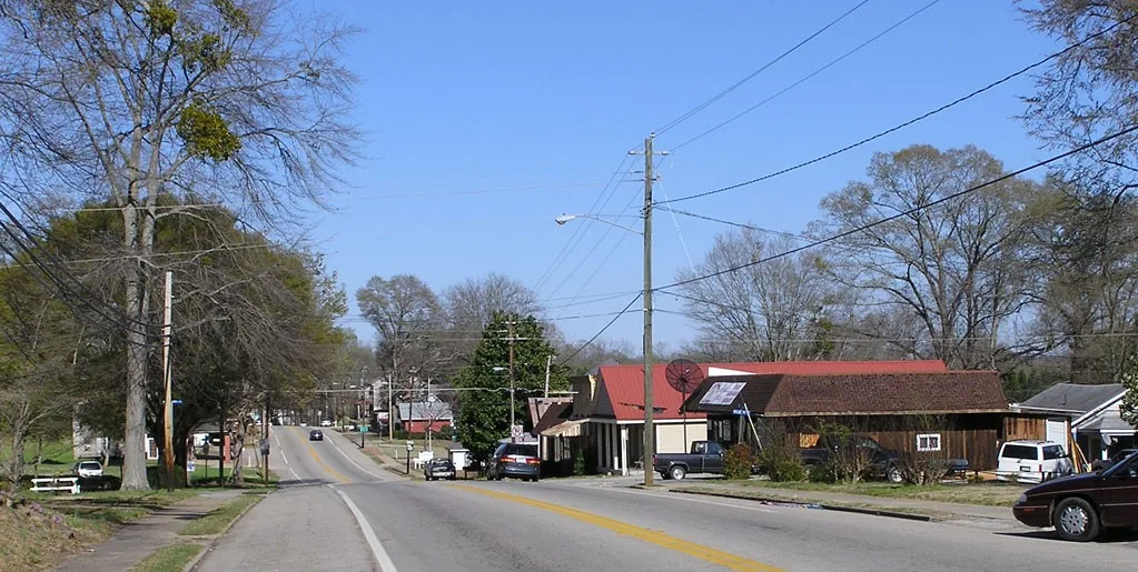
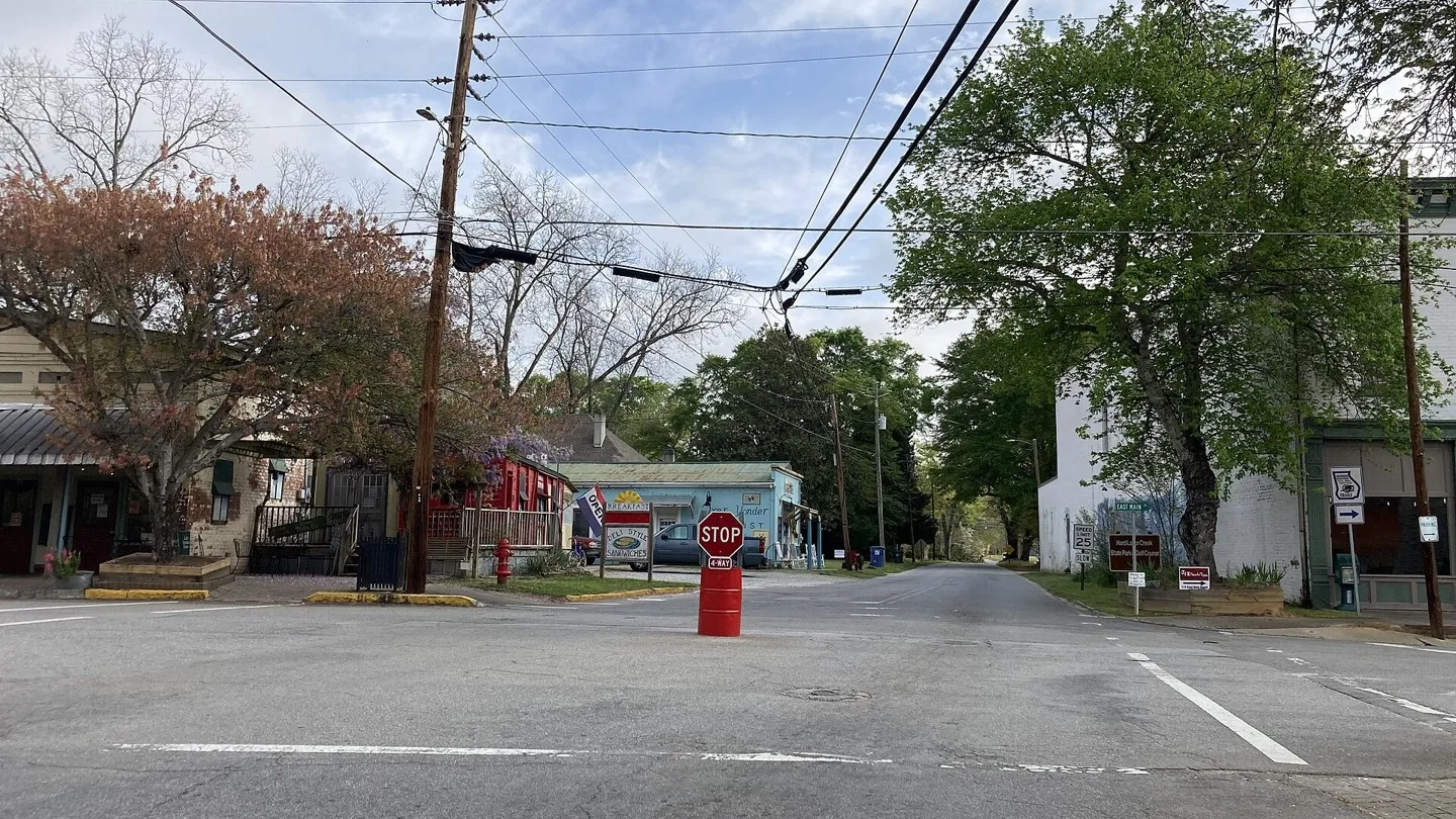
Rutledge, Georgia downtown intersection 55 gallon oil drum stop sign. Photo: I20sc. CC BY-SA 4.0; resized for display. Area view.
Historical aerial view of Salem in Upson County, Georgia. Imagery date not established; geographic context, not a service-area boundary. Georgia has other communities with this name; confirm your county and ZIP code when asking about service. Photo: USGS / USDA — National Agriculture Imagery Program. Public domain; resized for display. Area view.
Historical aerial view of Scottdale, Georgia. Imagery date not established; geographic context, not a service-area boundary. Photo: USGS / USDA — National Agriculture Imagery Program. Public domain; resized for display. Area view.
Historical aerial view of Shannon, Georgia. Imagery date not established; geographic context, not a service-area boundary. Photo: USGS / USDA — National Agriculture Imagery Program. Public domain; resized for display. Area view.
Historical aerial view of Shiloh, Georgia. Imagery date not established; geographic context, not a service-area boundary. Photo: USGS / USDA — National Agriculture Imagery Program. Public domain; resized for display. Area view.
Snellville City Hall and Senior Center Photo: Jober14 (talk). Public domain; resized for display. Area view.
Downtown Social Circle, Georgia Photo: Ncsr11. CC BY-SA 3.0; resized for display. Area view.
Sparta Historic District Photo: Blastoids. CC BY-SA 3.0; resized for display. Area view.
Historical aerial view of Springfield, Georgia. Imagery date not established; geographic context, not a service-area boundary. Photo: USGS / USDA — National Agriculture Imagery Program. Public domain; resized for display. Area view.
St. Marys Historic District, Georgia Photo: Bubba73. CC BY-SA 3.0; resized for display. Area view.
Historical aerial view of Statham, Georgia. Imagery date not established; geographic context, not a service-area boundary. Photo: USGS / USDA — National Agriculture Imagery Program. Public domain; resized for display. Area view.
Stockbridge City Hall Photo: McFortner. CC BY 3.0; resized for display. Area view.
Stone Mountain, Georgia downtown This is an image of a place or building that is listed on the National Register of Historic Places in the United States of America. Its reference number is 1476 (Wikidata). Photo: Daniel Mayer. CC BY-SA 3.0; resized for display. Area view.
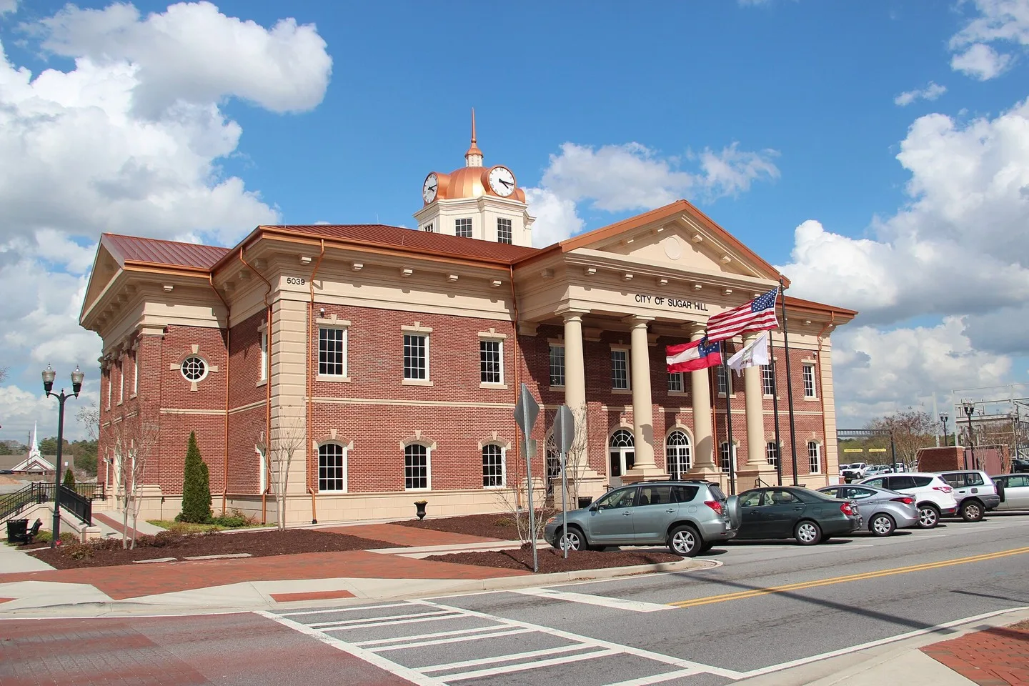
Sugar Hill City Hall Photo: Thomson200. CC0; resized for display. Area view.
City Hall in Summerville, Georgia, United States. Photo: Brian Stansberry. CC BY 4.0; resized for display. Area view.
Suwanee, Georgia city hall Photo: Thomson. CC0; resized for display. Area view.
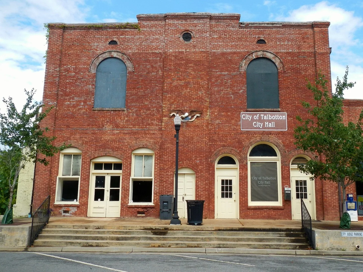
Talbotton City Hall, Georgia Photo: Rivers Langley; SaveRivers. CC BY-SA 3.0; resized for display. Area view.
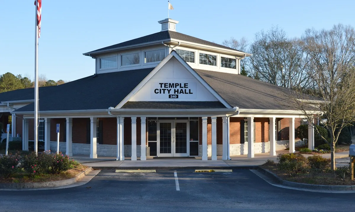
Temple, Georgia city hall Photo: Thomson200. CC0; resized for display. Area view.
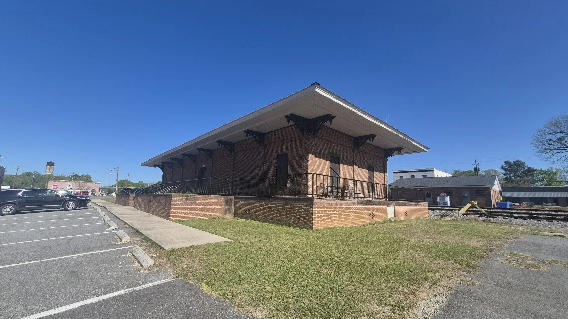
Historic Central of Georgia railway station in Tennille, Georgia Photo: Just an image guy. CC BY 4.0; resized for display. Area view.
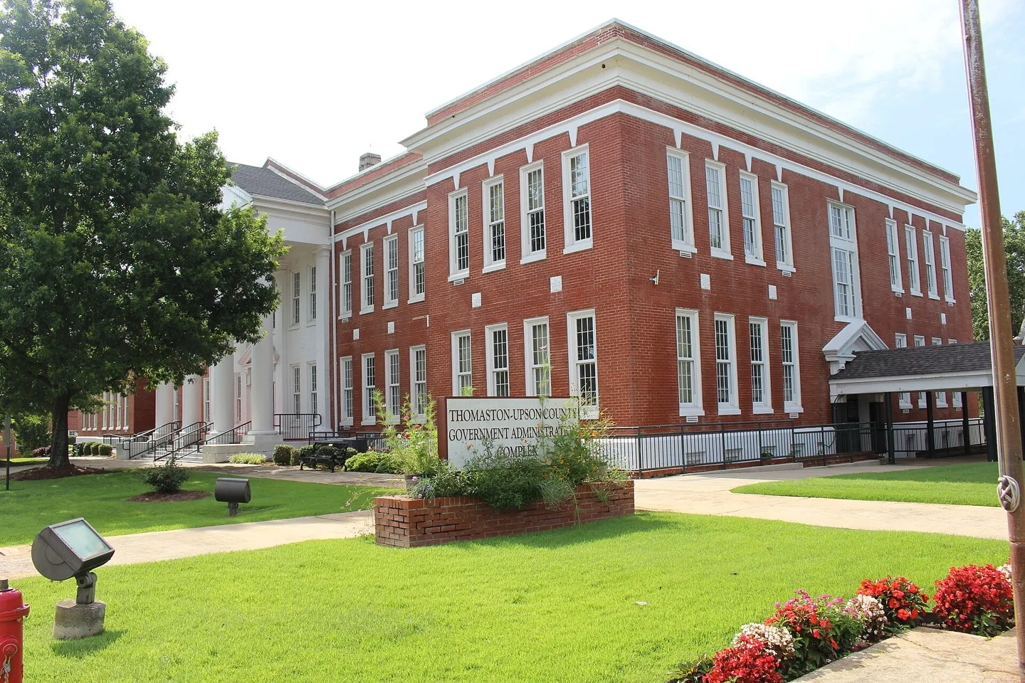
Thomaston-Upson County Government Administration Complex, Thomaston, Upson County, Georgia Photo: Michael Rivera. CC BY-SA 4.0; resized for display. Area view.
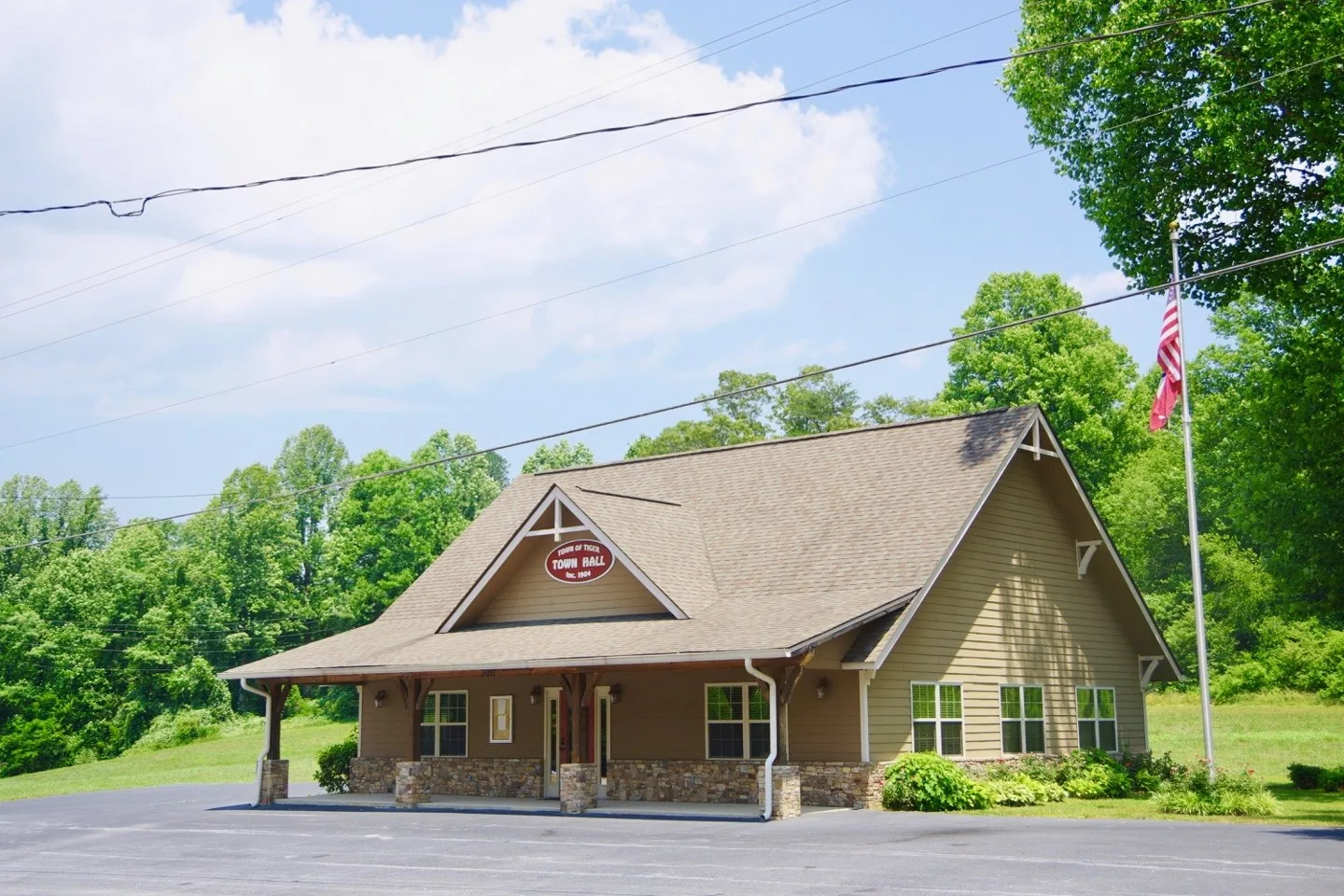
Town Hall in Tiger, Georgia, United States. Photo: Brian Stansberry. CC BY 4.0; resized for display. Area view.
View along Hulin Avenue (Georgia State Route 17) in Tignall, Georgia, United States Photo: Brian Stansberry. CC BY 4.0; resized for display. Area view.
Downtown Toccoa, Georgia, in Stephens County, aerial view Photo: Harrison Keely. CC BY 4.0; resized for display. Area view.
Historical aerial view of Toomsboro, Georgia. Imagery date not established; geographic context, not a service-area boundary. Photo: USGS / USDA — National Agriculture Imagery Program. Public domain; resized for display. Area view.
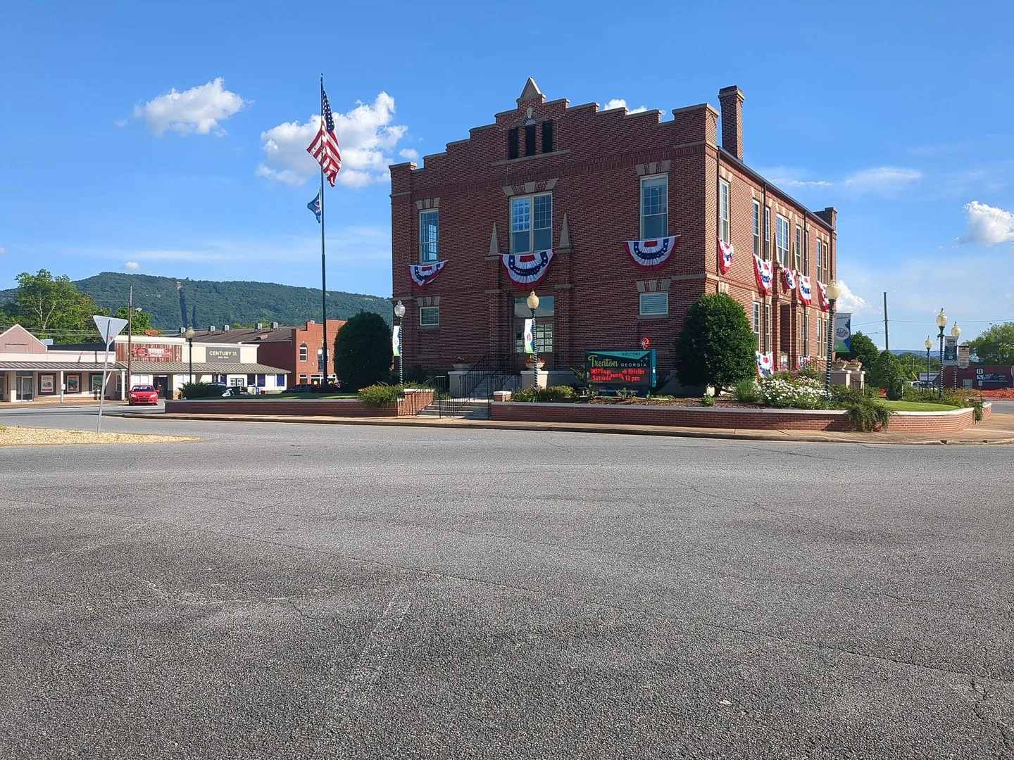
The Dade County Courthouse in Trenton, Georgia Photo: Dade Dude. CC0; resized for display. Area view.
Trion Town Hall in Trion, Georgia, United States. Photo: Brian Stansberry. CC BY 4.0; resized for display. Area view.
Historic Brownings Courthouse (and Butterfly Garden) – Tucker, Georgia Photo: Gulbenk. CC BY-SA 3.0; resized for display. Area view.
City Hall in Tunnel Hill, Georgia, United States. Photo: Brian Stansberry. CC BY 4.0; resized for display. Area view.
Historical aerial view of Tyrone, Georgia. Imagery date not established; geographic context, not a service-area boundary. Photo: USGS / USDA — National Agriculture Imagery Program. Public domain; resized for display. Area view.
Union City Hall, Georgia Photo: UnionCityGov. CC BY-SA 4.0; resized for display. Area view.
Historical aerial view of Union Point, Georgia. Imagery date not established; geographic context, not a service-area boundary. Photo: USGS / USDA — National Agriculture Imagery Program. Public domain; resized for display. Area view.
Varnell, Georgia city hall Photo: Thomson200. CC0; resized for display. Area view.
Railroad park in Villa Rica, Georgia Photo: John Phelan. CC BY 4.0; resized for display. Area view.
High rises on Mount Wilkinson, Vinings, Georgia Photo: Thomson200. CC0; resized for display. Area view.
City Hall and Library in Waco, Georgia Photo: John Phelan. CC BY 4.0; resized for display. Area view.
This is a photo of Broad Street in Warm Springs, Georgia, USA. It was taken by me, Rivers Langley. Photo: Saverivers. CC BY-SA 4.0; resized for display. Area view.
Warren County Courthouse Photo: Upstateherd. CC BY-SA 3.0; resized for display. Area view.
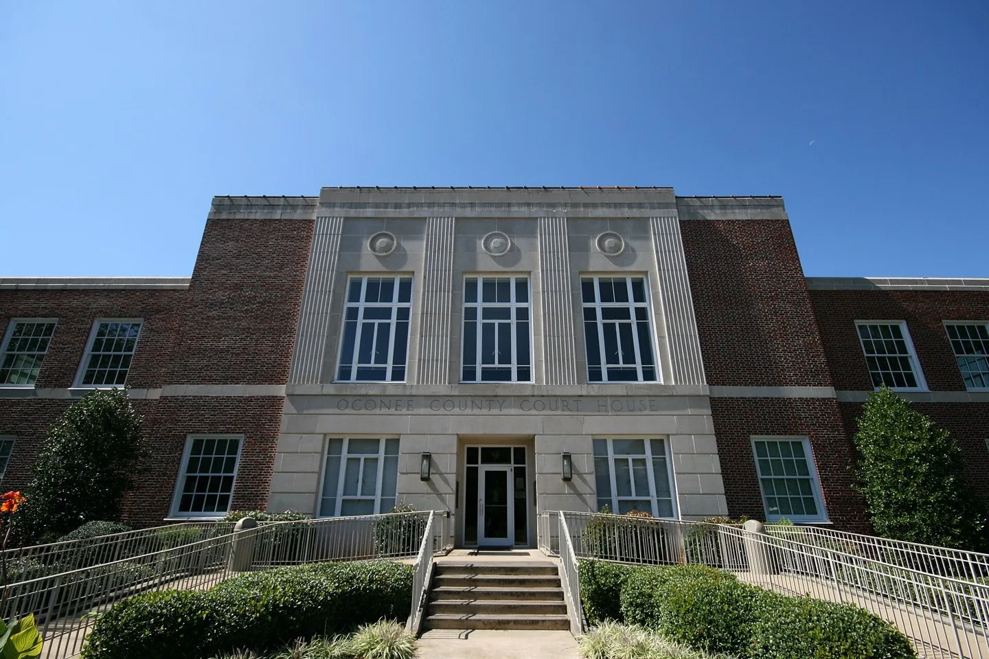
Oconee County courthouse in Watkinsville, Georgia Photo: John Trainor. CC BY 2.0; resized for display. Area view.
This is a photograph of the Government and Arts building in Waverly Hall, Georgia. Photo: Rivers Langley; SaveRivers. CC BY-SA 3.0; resized for display. Area view.
Waycross, Ware County, Georgia Photo: Michael Rivera. CC BY-SA 3.0; resized for display. Area view.
West Point Georgia – Lanett Alabama Aerial (49055056446).jpg Photo: formulanone. CC BY-SA 2.0; resized for display. Area view.
White, Georgia City Hall Photo: Thomson200. CC0; resized for display. Area view.
Whitesburg, Georgia city hall Photo: Thomson200. CC0; resized for display. Area view.
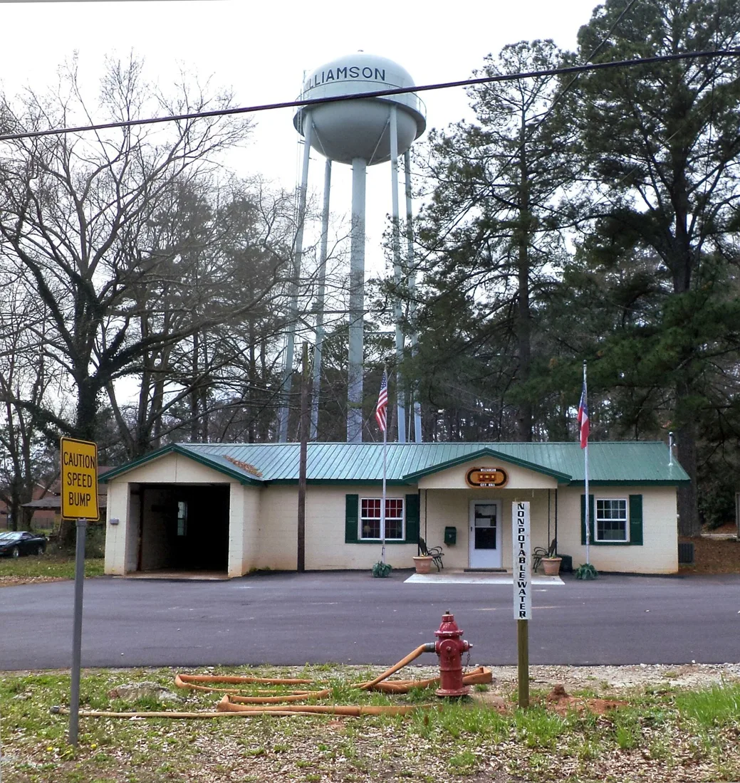
Williamson City Hall, Midland St., Williamson, Pike County, Georgia Photo: Michael Rivera. CC BY-SA 3.0; resized for display. Area view.
Downtown Winder Photo: Thomson M. CC BY 3.0; resized for display. Area view.
The Winterville City Hall building in Winterville, Georgia Photo: TarheelBornBred. CC0; resized for display. Area view.
Woodbine, Camden County, Georgia Photo: Michael Rivera. CC BY-SA 4.0; resized for display. Area view.
Historical aerial view of Woodbury, Georgia. Imagery date not established; geographic context, not a service-area boundary. Photo: USGS / USDA — National Agriculture Imagery Program. Public domain; resized for display. Area view.
Downtown Woodstock, Georgia, at dusk Photo: BlocksMC. CC BY-SA 4.0; resized for display. Area view.
Historical aerial view of Yatesville, Georgia. Imagery date not established; geographic context, not a service-area boundary. Photo: USGS / USDA — National Agriculture Imagery Program. Public domain; resized for display. Area view.
Downtown Young Harris, Georgia, and Young Harris College Photo: Harrison Keely. CC BY 4.0; resized for display. Area view.
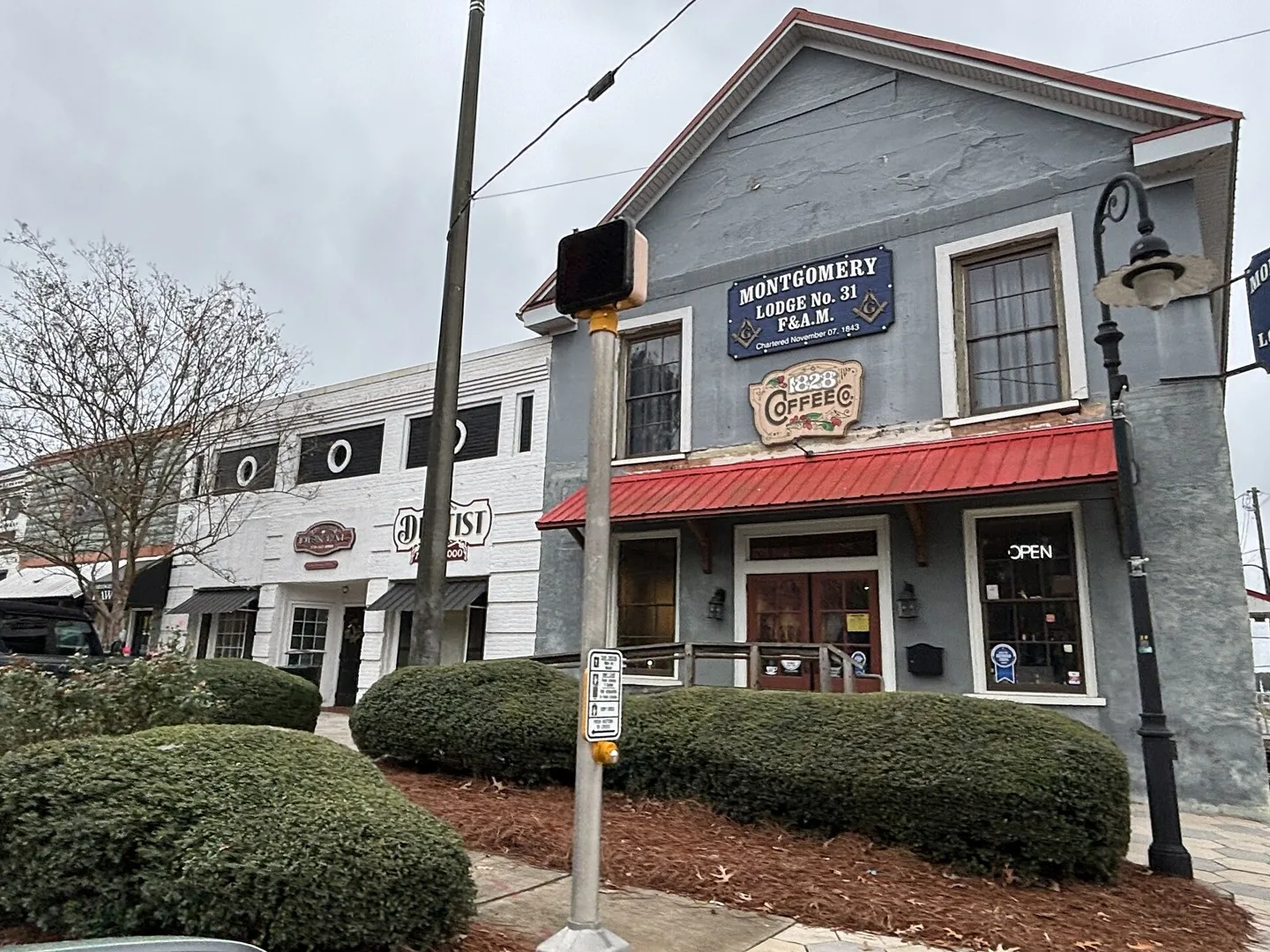
Businesses on Barnesville Street, Zebulon, Georgia Photo: Myotus. CC BY 4.0; resized for display. Area view.
Aragon, Georgia Photo: Thomson200. CC0; resized for display. Area view.
City of Austell Georgia Threadmill Complex Photo: CalleyD01. CC BY-SA 4.0; resized for display. Area view.
Dahlonega Gold Museum Historic Site in Dahlonega, Georgia. Photo: HowardSF at English Wikipedia. CC BY-SA 3.0; resized for display. Area view.
Dalton Freight Depot in Dalton, Georgia, US Photo: Jud McCranie. CC BY-SA 4.0; resized for display. Area view.
Historical aerial view of Davisboro, Georgia. Imagery date not established; geographic context, not a service-area boundary. Photo: USGS / USDA — National Agriculture Imagery Program. Public domain; resized for display. Area view.
Historical aerial view of Experiment, Georgia. Imagery date not established; geographic context, not a service-area boundary. Photo: USGS / USDA — National Agriculture Imagery Program. Public domain; resized for display. Area view.
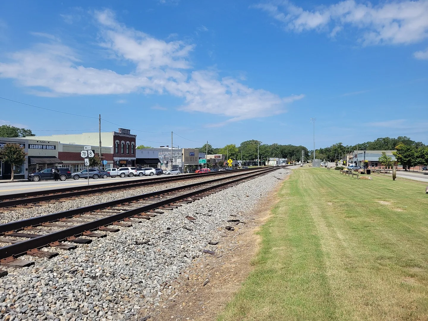
Downtown Lawrenceville (as of June 2006) Photo: DeKalb (talk) (Uploads). CC BY-SA 3.0; resized for display. Area view.
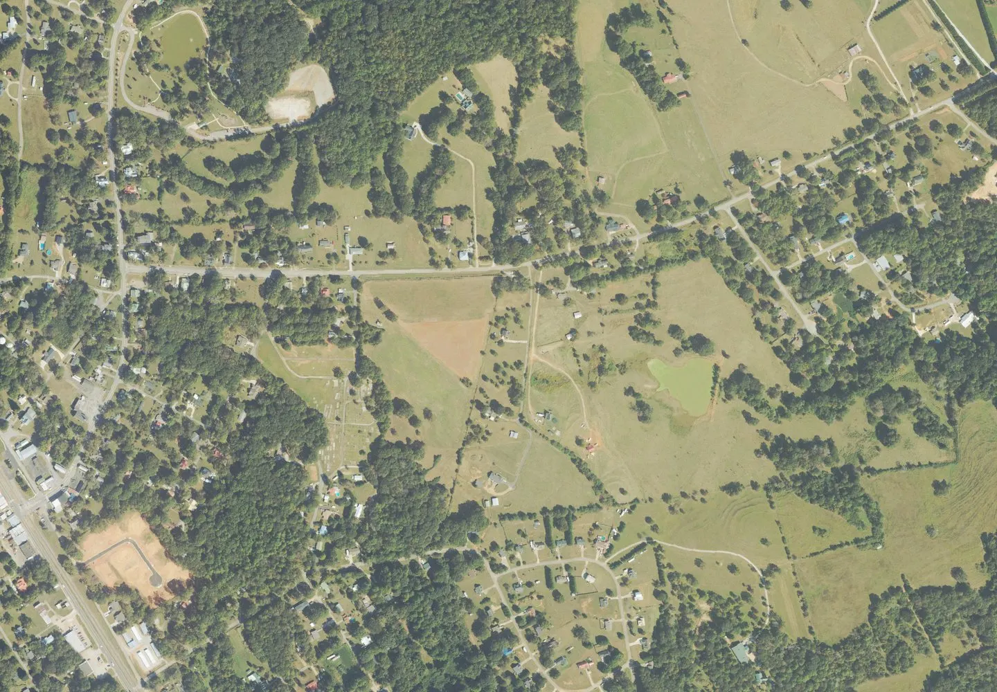
Historical aerial view of Maysville, Georgia. Imagery date not established; geographic context, not a service-area boundary. Photo: USGS / USDA — National Agriculture Imagery Program. Public domain; resized for display. Area view.
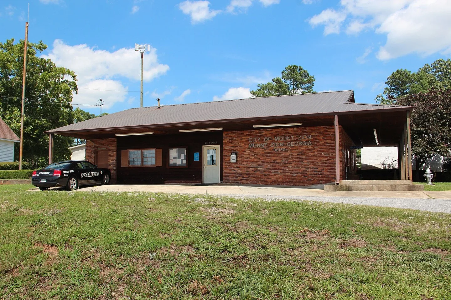
Mount Zion, Georgia Photo: Thomson200. CC0; resized for display. Area view.
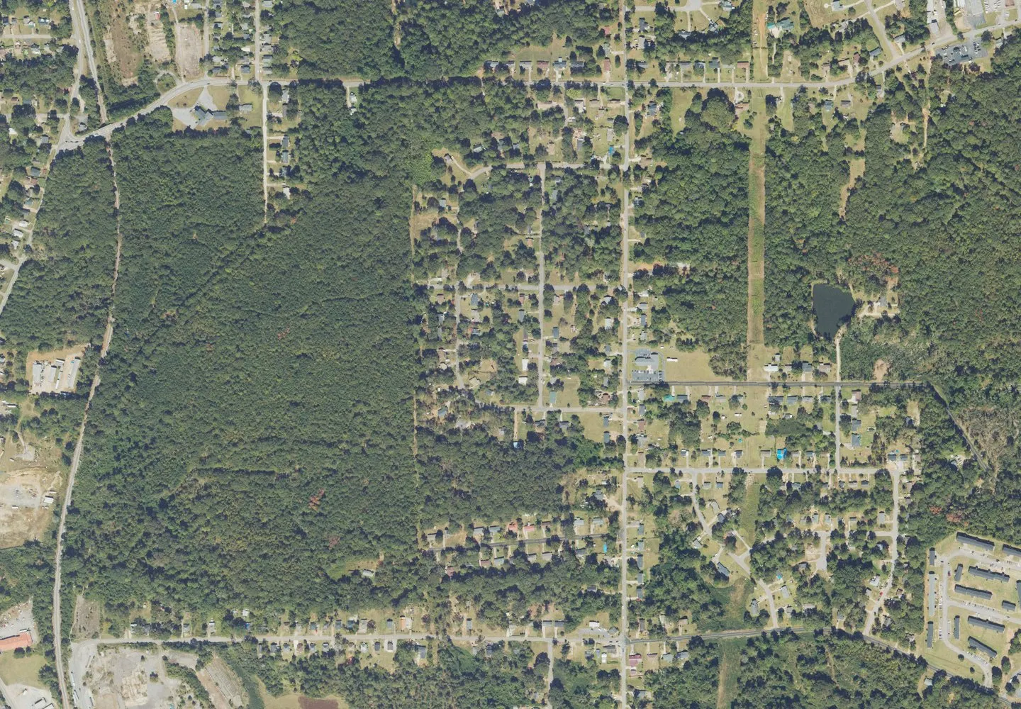
Historical aerial view of Nicholson, Georgia. Imagery date not established; geographic context, not a service-area boundary. Photo: USGS / USDA — National Agriculture Imagery Program. Public domain; resized for display. Area view.
Ringgold City Hall, Ringgold (Catoosa County, Georgia) Photo: KudzuVine. Public domain; resized for display. Area view.
Washington County Courthouse in Sandersville, Georgia Photo: Cynthia Jennings. CC BY-SA 3.0; resized for display. Area view.
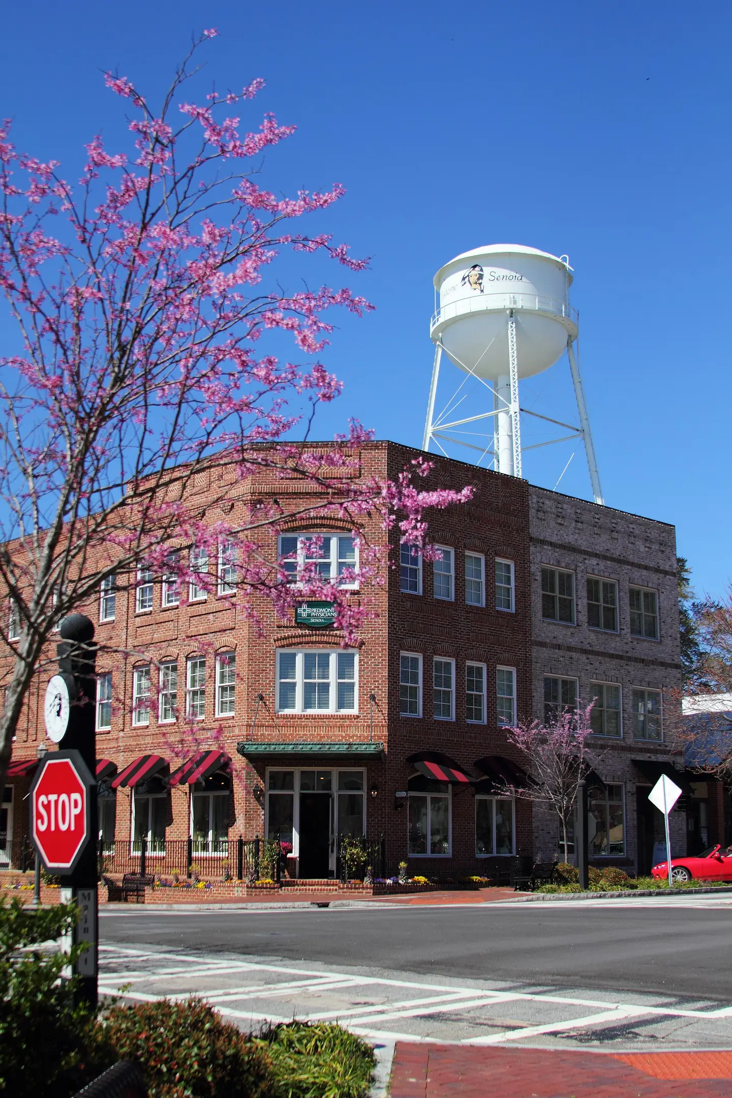
Downtown Senoia, Georgia Photo: Mikefairbanks. CC BY-SA 3.0; resized for display. Area view.
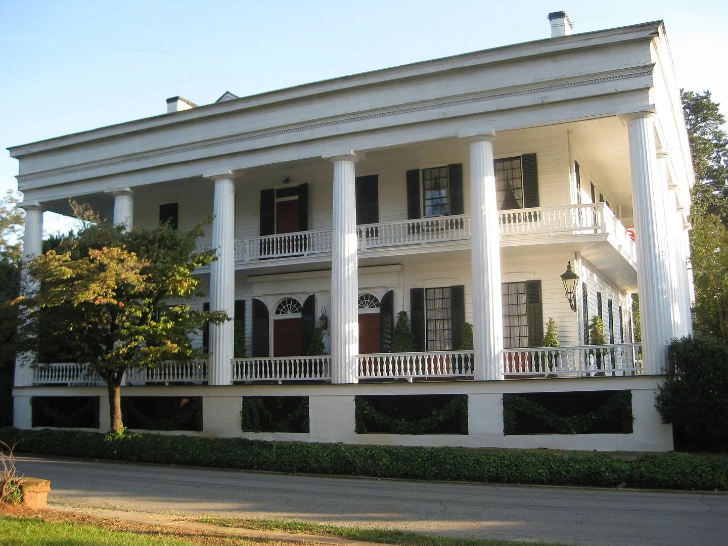
Historic Campbell–Jordan House in Washington, Georgia Photo: TampAGS, for AGS Media. CC BY-SA 3.0; resized for display. Area view.
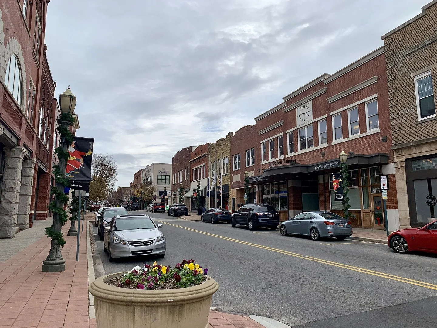
Main Street (Rock Hill, SC) Photo: Hashtag youre it. CC BY-SA 4.0; resized for display. Area view.
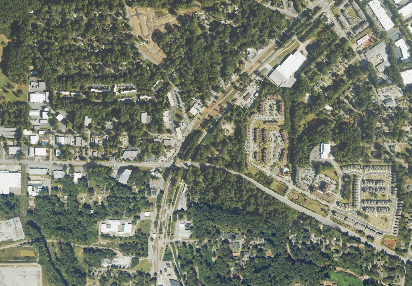
A typical residential street in Mableton Photo: Kmvl11. CC BY-SA 4.0; resized for display. Area view.
Ascending the Duquesne Incline on Mount Washington. Photo: Dllu. CC BY-SA 4.0; resized for display. Area view.
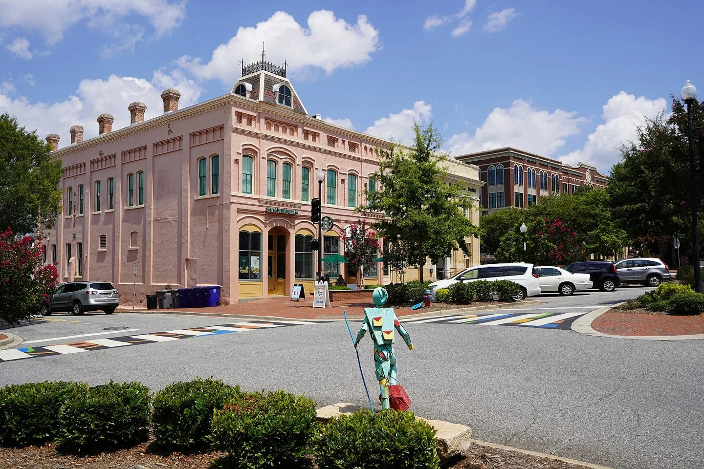
Main Street in downtown Spartanburg, South Carolina Photo: Hitkiller666. CC BY-SA 4.0; resized for display. Area view.
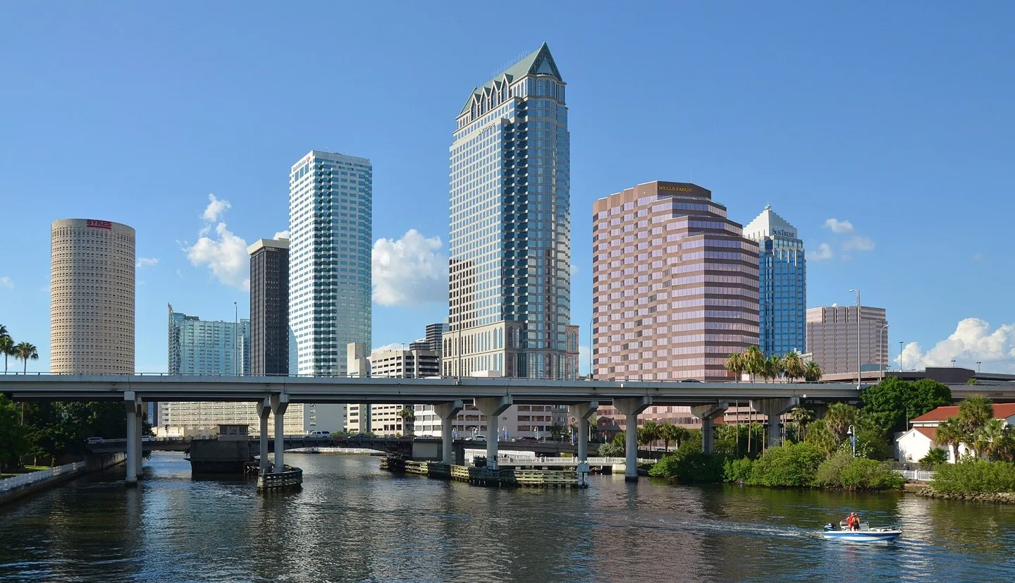
Downtown Tampa, Florida Photo: Clément Bardot. CC BY-SA 4.0; resized for display. Area view.
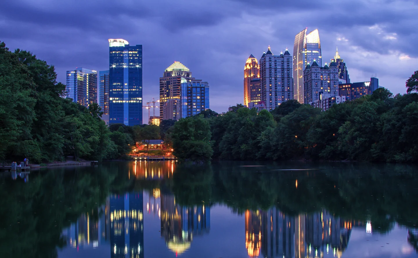
Midtown and Downtown Atlanta Photo: AtlChampion. CC BY-SA 4.0; resized for display. Area view.
Falls Park Waterfall Greenville South Carolina by Yousef AbdulHusain Photo: CantoV. CC BY-SA 4.0; resized for display. Area view.
Douglas County Courthouse, Georgia, USA Photo: Kåre Thor Olsen. CC BY-SA 3.0; resized for display. Area view.
Downtown Clarksville Tennessee Photo: GatewayPolitics. CC BY-SA 4.0; resized for display. Area view.
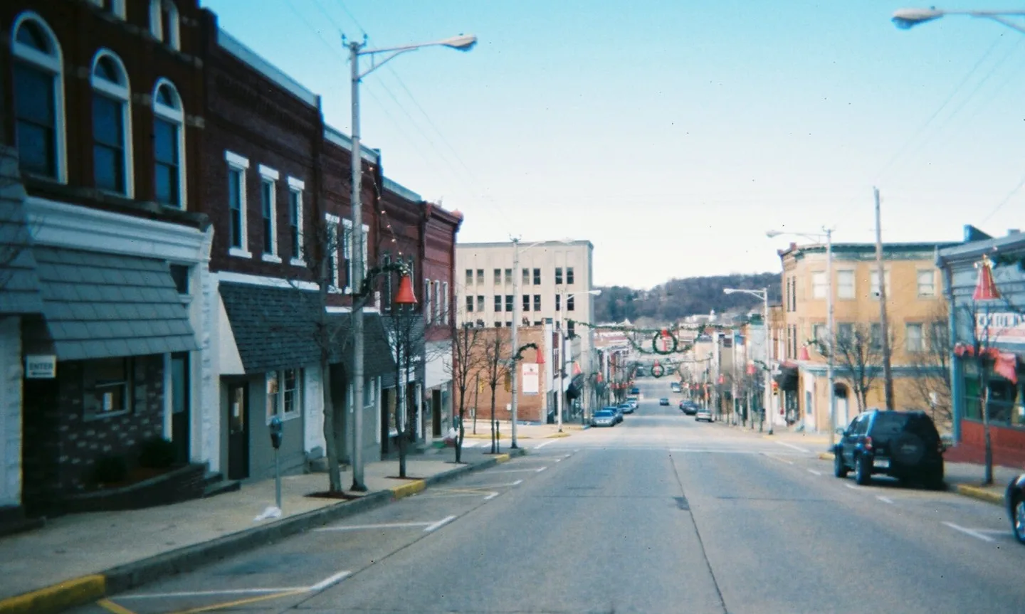
Downtown Jeannette, Pennsylvania, looking downhill (toward the northwest) on Clay Avenue, from a position between Second Street and Third Street Photo: Canadian2006. CC BY-SA 3.0; resized for display. Area view.
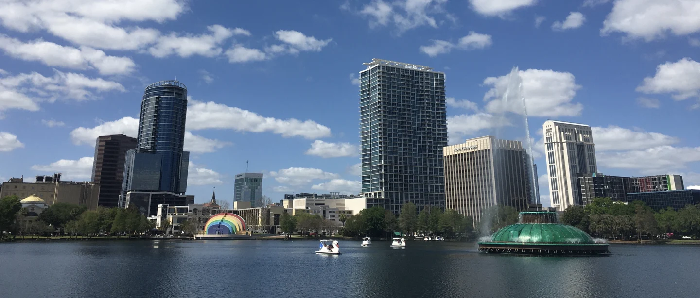
Orlando skyline from Lake Eola, Florida (2021) Photo: Excel23. CC BY-SA 4.0; resized for display. Area view.
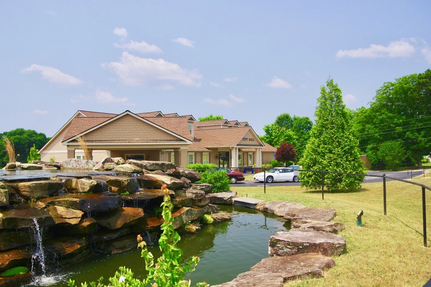
City Hall Fountain, Peachtree City, Georgia. Photo: Tony Bernard. CC BY-SA 2.0; resized for display. Area view.
Historical aerial view of Brandon, Florida. Imagery date not established; geographic context, not a service-area boundary. Photo: USGS / USDA — National Agriculture Imagery Program. Public domain; resized for display. Area view.
Coweta County Courthouse, Newnan GA Photo: John Trainor. CC BY 2.0; resized for display. Area view.
City hall for Dunwoody, Georgia. Photo: JJonahJackalope. CC BY-SA 4.0; resized for display. Area view.
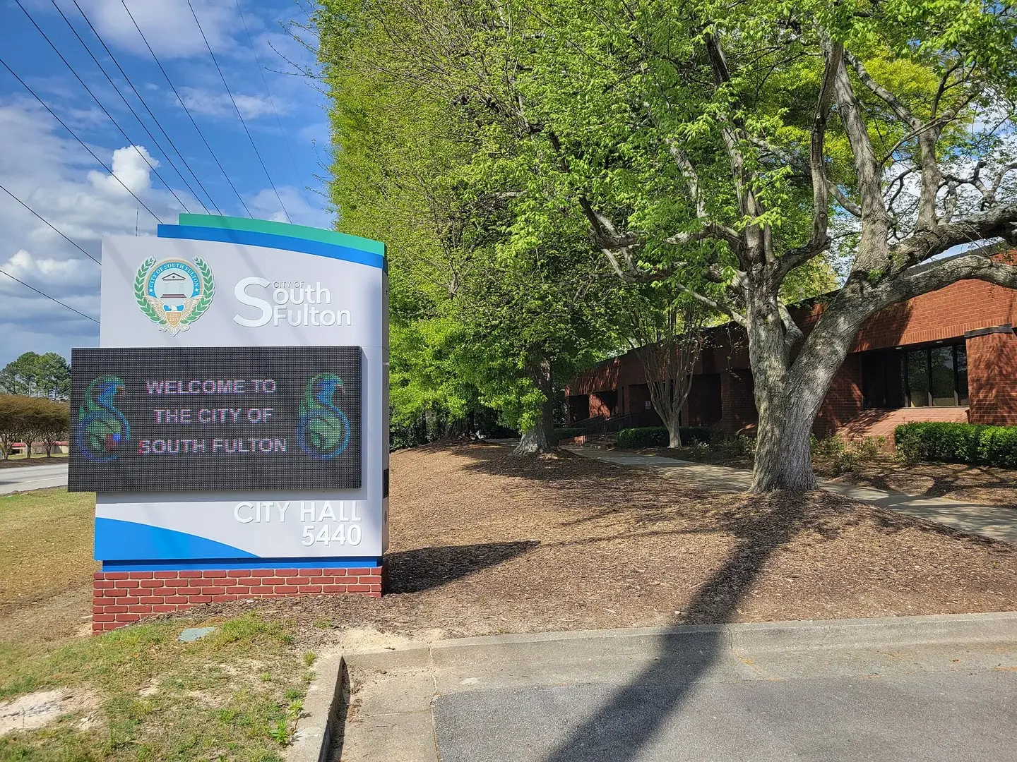
South Fulton City Hall, Georgia Photo: John Phelan. CC BY 4.0; resized for display. Area view.
Milton Public Library, Milton, GA Photo: Thomson200. CC0; resized for display. Area view.
Loganville, Georgia Photo: Quentin Melson. CC BY-SA 4.0; resized for display. Area view.
roswell, GA city hall Photo: Carrie Qualters. CC BY-SA 2.0; resized for display. Area view.
City Hall, 700 Watson Blvd., Warner Robins, Houston County, Georgia Photo: Michael Rivera. CC BY-SA 4.0; resized for display. Area view.
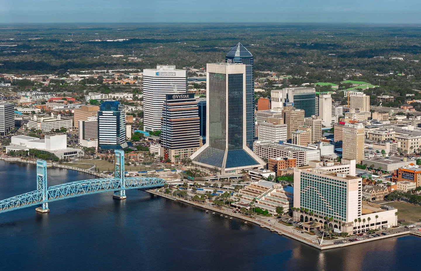
Downtown Jacksonville, Florida skyline and the Main Street Bridge viewed from above the St. Johns River Photo: Quintin Soloviev. CC BY 4.0; resized for display. Area view.
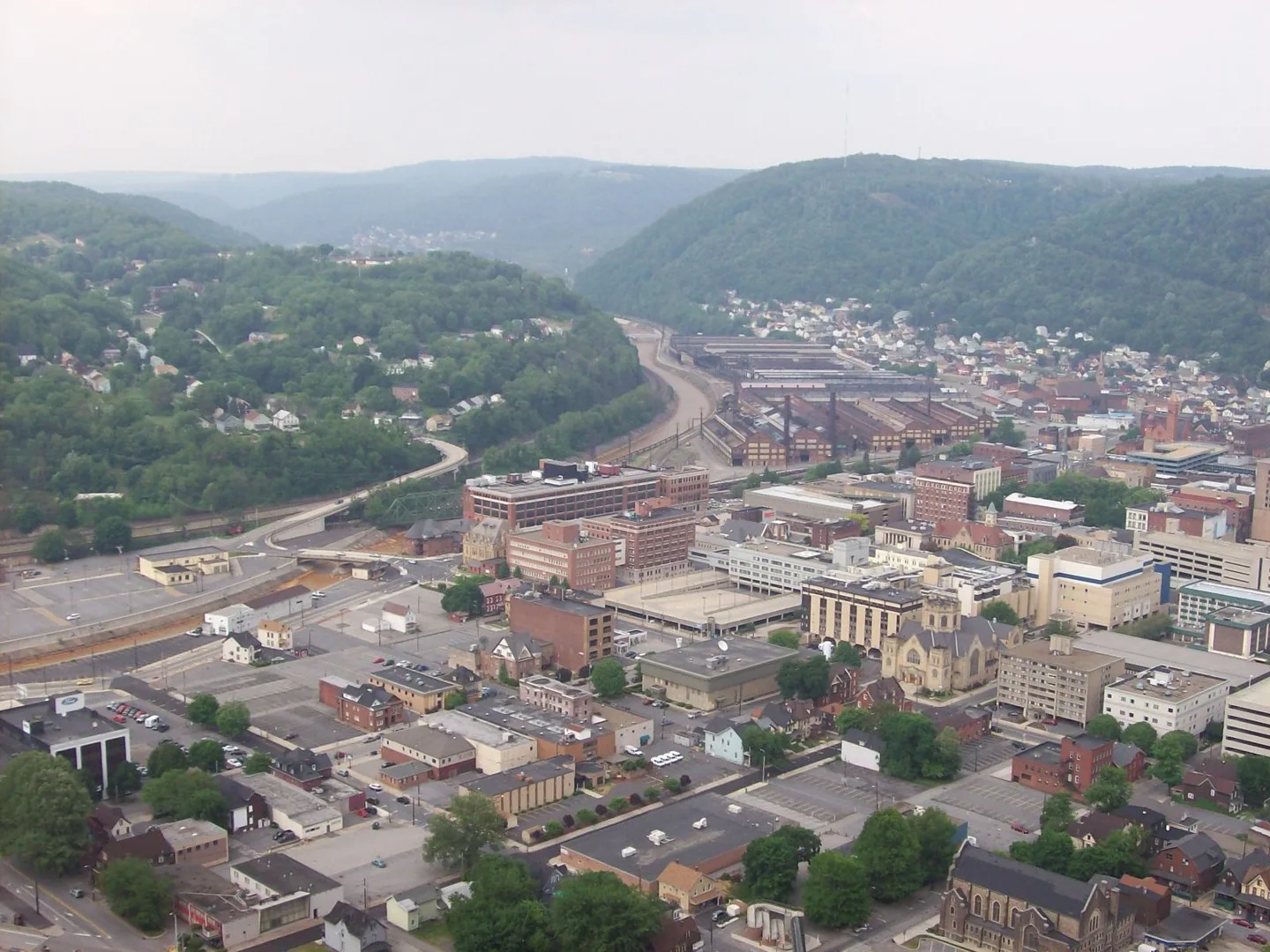
View from from atop the Johnstown Inclined Plane platform. Photo: Darthgriz98. CC BY-SA 3.0; resized for display. Area view.
Downtown Gainesville, Georgia Photo: ATLJonJon. CC BY 4.0; resized for display. Area view.
Downtown Augusta, Georgia as seen across the Savannah River, on the Fifth Street Bridge. Photo: c_live_lee. CC0; resized for display. Area view.
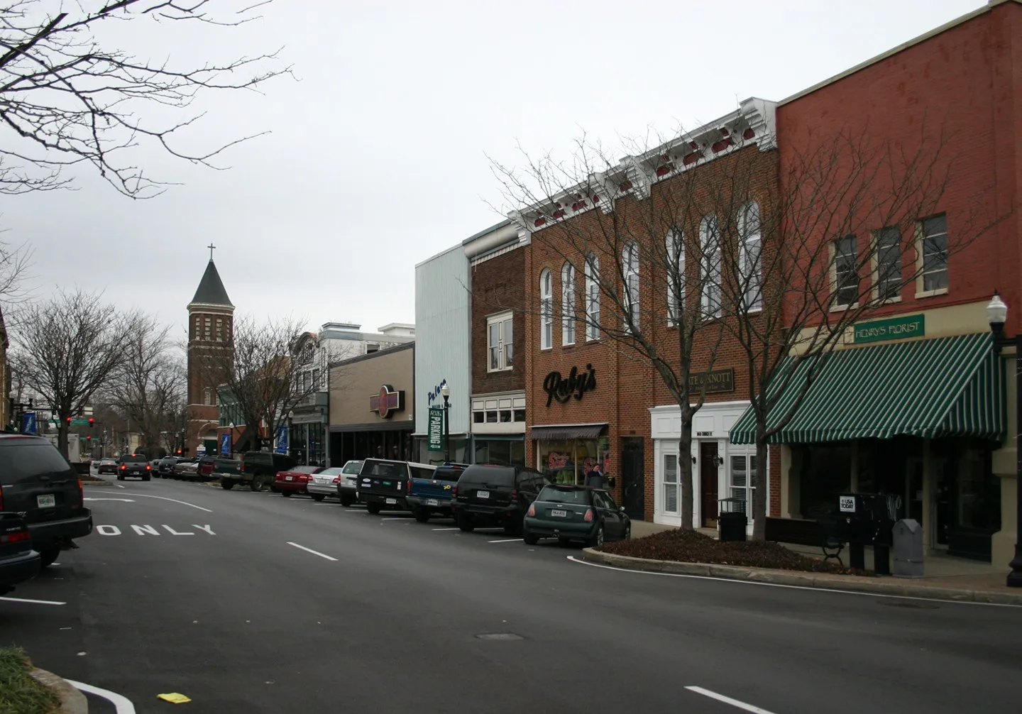
Downtown Murfreesboro, Tennessee Photo: The original uploader was Pollinator at English Wikipedia.. CC BY-SA 3.0; resized for display. Area view.
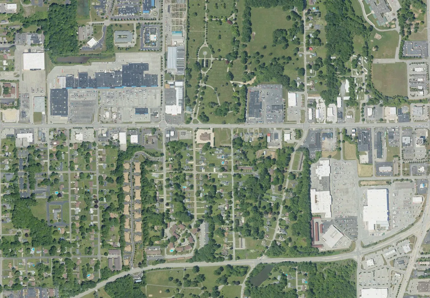
Historical aerial view of Hermitage, Pennsylvania. Imagery date not established; geographic context, not a service-area boundary. Photo: USGS / USDA — National Agriculture Imagery Program. Public domain; resized for display. Area view.
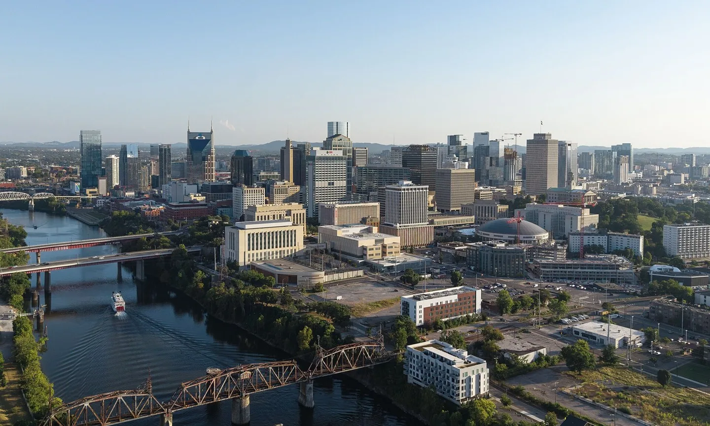
Nashville, Tennessee skyline Photo: Quintin Soloviev. CC BY 4.0; resized for display. Area view.
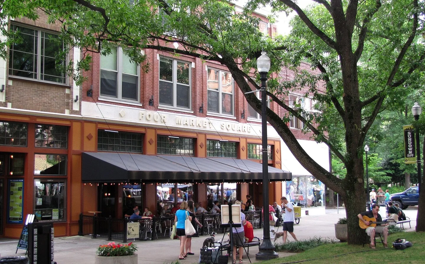
The southeast corner of Market Square in Knoxville, Tennessee, USA. Photo: Brian Stansberry. CC BY 3.0; resized for display. Area view.
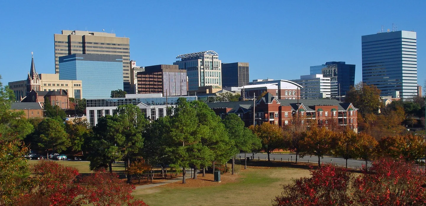
skyline of downtown Columbia, SC, USA from Arsenal Hill neighborhood Photo: Akhenaton06. CC BY-SA 3.0; resized for display. Area view.
Historic Brownings Courthouse (and Butterfly Garden) – Tucker, Georgia Photo: Gulbenk. CC BY-SA 3.0; resized for display. Area view.
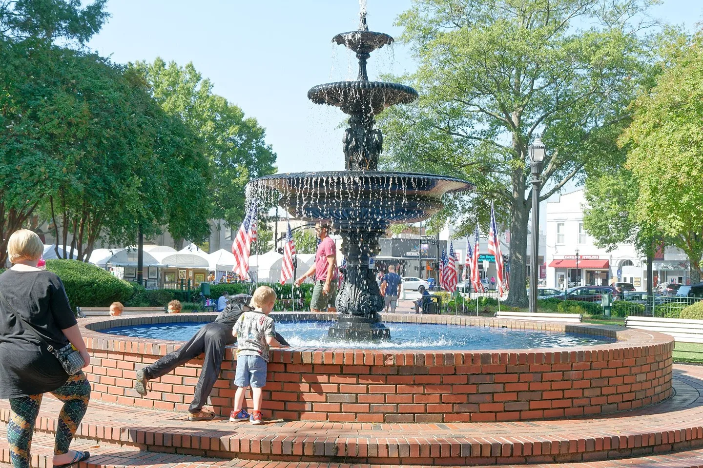
fountain Photo: Bubba73. CC BY-SA 3.0; resized for display. Area view.
Concourse Corporate Center V and VI, but are known locally as "the King and Queen towers" at night. Atlanta, GA, USA. Photo: Maksim Sundukov. CC BY-SA 3.0; resized for display. Area view.
Building where the Johns Creek City Hall is located. Photo: Thomson200. CC0; resized for display. Area view.
Alpharetta, Georgia city hall Photo: Thomson200. CC0; resized for display. Area view.
Brookhaven Village in Brookhaven, Georgia. Photo: Mmann1988. CC BY-SA 3.0; resized for display. Area view.
Gateway to Peachtree Corners Photo: J. Putnam. CC BY-SA 4.0; resized for display. Area view.
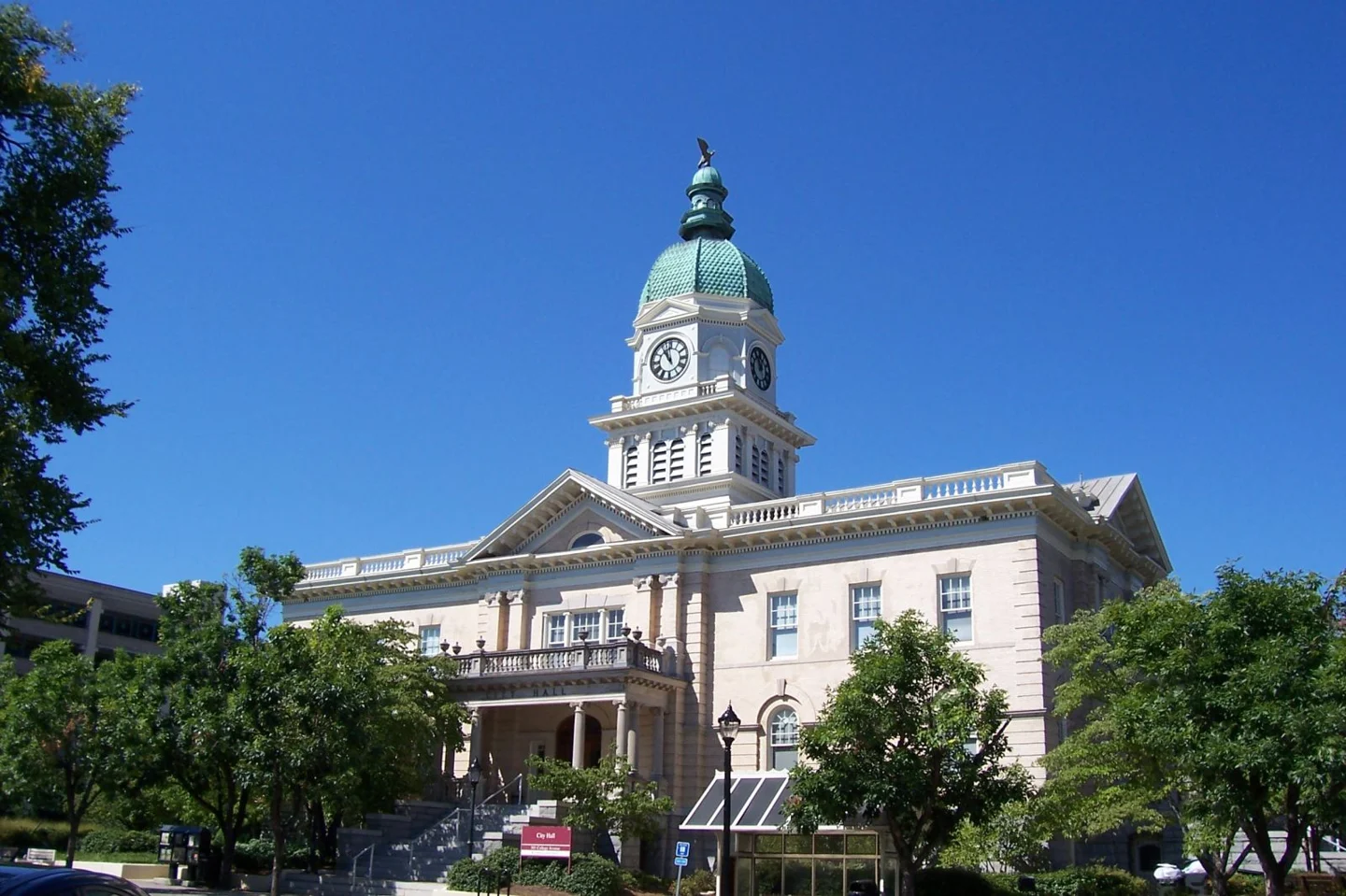
Athens City Hall, Georgia (2012) Photo: Upstateherd. CC BY-SA 4.0; resized for display. Area view.
Macon County Courthouse, Courthouse Sq. Oglethorpe Photo: Mbclark2. CC BY-SA 3.0; resized for display. Area view.
Historic City Hall in Rome, Georgia, US Photo: Bubba73 (Jud McCranie). CC BY-SA 4.0; resized for display. Area view.
Historical aerial view of Mount Pleasant, South Carolina. Imagery date not established; geographic context, not a service-area boundary. Photo: USGS / USDA — National Agriculture Imagery Program. Public domain; resized for display. Area view.
Loganville, Georgia Photo: Quentin Melson. CC BY-SA 4.0; resized for display. Area view.
Athens Street in Carnesville, April 2023 Photo: Mxdmana. CC BY-SA 4.0; resized for display. Area view.
Historical aerial view of Rossville, Georgia. Imagery date not established; geographic context, not a service-area boundary. Photo: USGS / USDA — National Agriculture Imagery Program. Public domain; resized for display. Area view.
Philadelphia Skyline from Schuylkill River Photo: 颐园居. CC BY-SA 4.0; resized for display. Area view.
Chattanooga, Tennessee's downtown viewed from the side of a mountain. Photo: WeaponizingArchitecture. CC BY-SA 4.0; resized for display. Area view.
Midtown and Downtown Atlanta Photo: AtlChampion. CC BY-SA 4.0; resized for display. Area view.
Coweta County Courthouse, Newnan GA Photo: John Trainor. CC BY 2.0; resized for display. Area view.
Building where the Johns Creek City Hall is located. Photo: Thomson200. CC0; resized for display. Area view.
Concourse Corporate Center V and VI, but are known locally as "the King and Queen towers" at night. Atlanta, GA, USA. Photo: Maksim Sundukov. CC BY-SA 3.0; resized for display. Area view.
Athens City Hall, Georgia (2012) Photo: Upstateherd. CC BY-SA 4.0; resized for display. Area view.
Roswell City Hall, Georgia Photo: Carrie Qualters. CC BY-SA 2.0; resized for display. Area view.
Downtown Augusta, Georgia as seen across the Savannah River, on the Fifth Street Bridge. Photo: c_live_lee. CC0; resized for display. Area view.
Brookhaven Village in Brookhaven, Georgia. Photo: Mmann1988. CC BY-SA 3.0; resized for display. Area view.
City hall for Dunwoody, Georgia. Photo: JJonahJackalope. CC BY-SA 4.0; resized for display. Area view.
Downtown Gainesville, Georgia Photo: ATLJonJon. CC BY 4.0; resized for display. Area view.
City Hall in Ila, Georgia, United States Photo: Brian Stansberry. CC BY-SA 4.0; resized for display. Area view.
Macon County Courthouse, Courthouse Sq. Oglethorpe Photo: Mbclark2. CC BY-SA 3.0; resized for display. Area view.
fountain Photo: Bubba73. CC BY-SA 3.0; resized for display. Area view.
Milton Public Library, Milton, GA Photo: Thomson200. CC0; resized for display. Area view.
Smyrna, Georgia City Hall Photo: Thomson200. CC0; resized for display. Area view.
South Fulton City Hall, Georgia Photo: John Phelan. CC BY 4.0; resized for display. Area view.
Flat Rock Archive in Stonecrest, Georgia Photo: Sunshine492. CC BY-SA 4.0; resized for display. Area view.
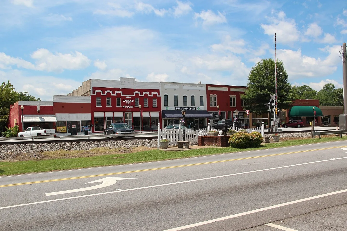
Downtown Tallapoosa, Georgia Photo: Thomson200. CC0; resized for display. Area view.
City Hall, 700 Watson Blvd., Warner Robins, Houston County, Georgia Photo: Michael Rivera. CC BY-SA 4.0; resized for display. Area view.
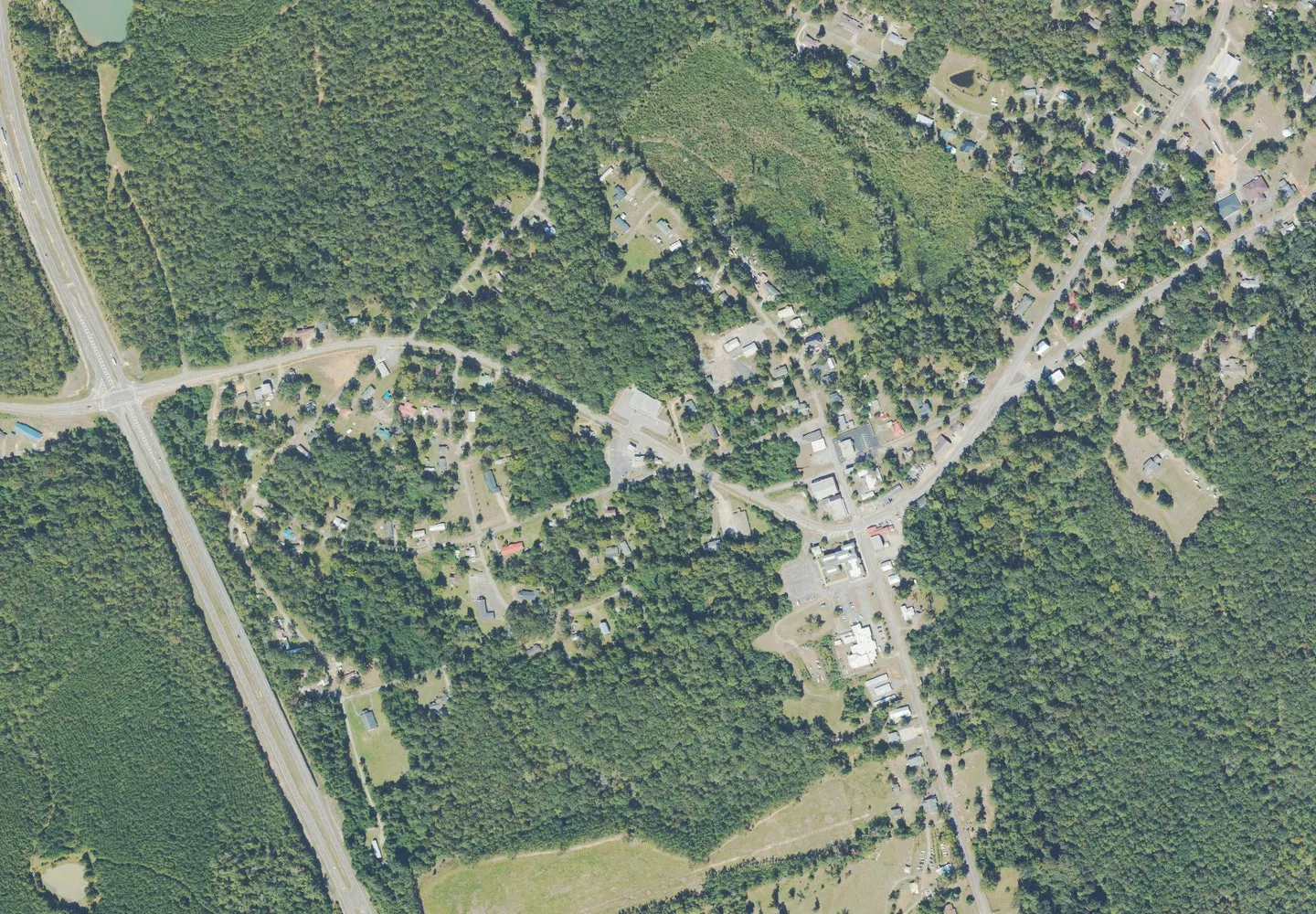
Historical aerial view of White Plains, Georgia. Imagery date not established; geographic context, not a service-area boundary. Photo: USGS / USDA — National Agriculture Imagery Program. Public domain; resized for display. Area view.
Smyrna, Georgia City Hall Photo: Thomson200. CC0; resized for display. Area view.
Flat Rock Archive in Stonecrest, Georgia Photo: Sunshine492. CC BY-SA 4.0; resized for display. Area view.
No matches. Try another search or clear your filters.
State outlines: U.S. Census Bureau, 2025 cartographic boundaries. Simplified display icons, not service-area boundaries.
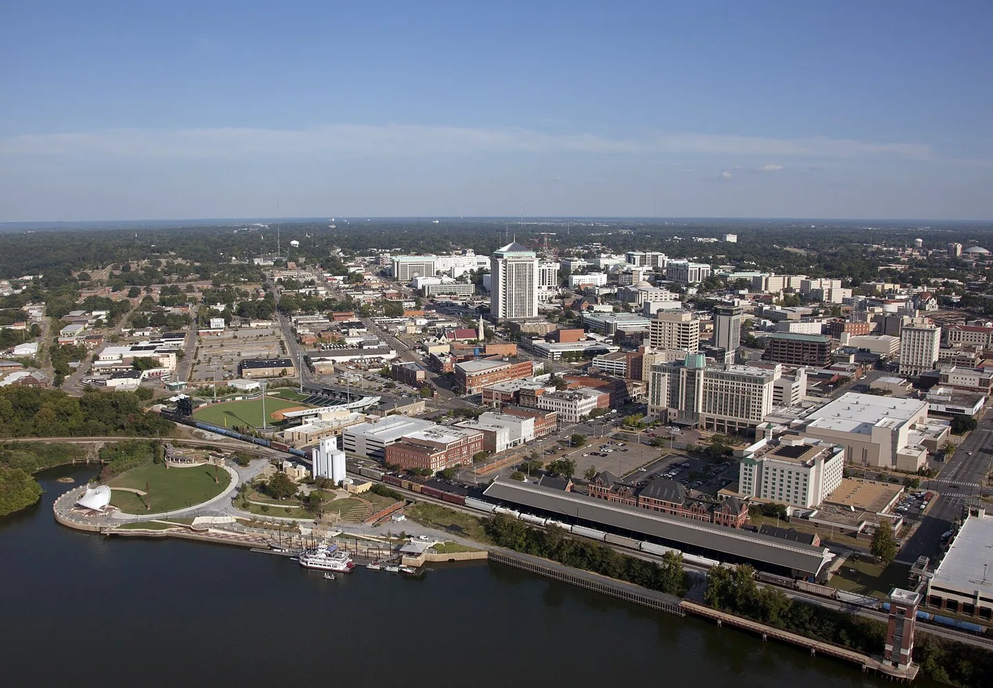
Montgomery, Alabama — geographic photograph Photo: Carol M. Highsmith. Public domain; resized for display. Area view.
West Loockerman Street in downtown w:Dover, Delaware Photo: Tim Kiser (w:User:Malepheasant). CC BY-SA 2.5; resized for display. Area view.
United States Capitol, Washington D.C. Photo: Ralf Roletschek (talk) – Infos über Fahrräder auf fahrradmonteur.de Wikis in der Ausbildung. CC BY-SA 3.0; resized for display. Area view.
Orlando skyline from Lake Eola, Florida (2021) Photo: Excel23. CC BY-SA 4.0; resized for display. Area view.
Dana–Thomas House museum in Springfield, Illinois Photo: w_lemay. CC BY-SA 2.0; resized for display. Area view.
Indianapolis, Indiana skyline Photo: Carol M. Highsmith. Public domain; resized for display. Area view.
Kentucky State Capitol in Frankfort Photo: Mobilus In Mobili. CC BY-SA 2.0; resized for display. Area view.
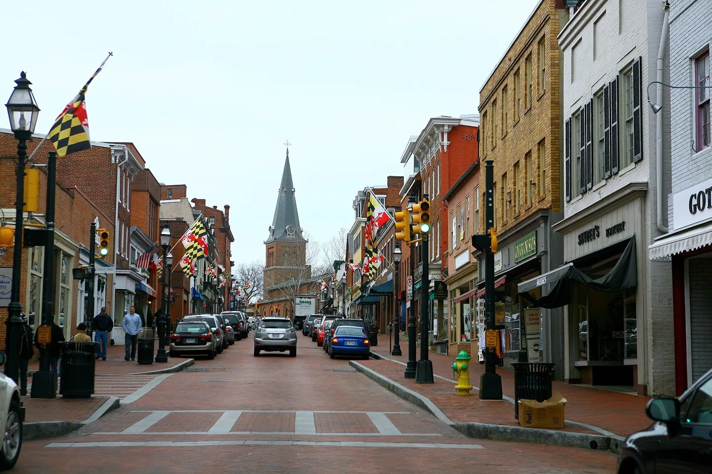
Main Street in Annapolis, Maryland Photo: Flickr user: high limitzz https://www.flickr.com/people/highlimitstudio/. CC BY 2.0; resized for display. Area view.
Jackson, Mississippi Photo: formulanone from Huntsville, United States. CC BY-SA 2.0; resized for display. Area view.
Missouri State Capitol Photo: RebelAt of English Wikipedia. CC BY-SA 3.0; resized for display. Area view.
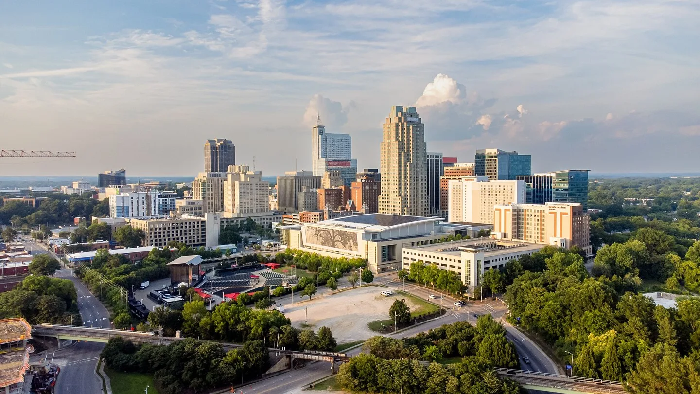
The Raleigh skyline as viewed from Dorothea Dix Park. Photo: Abhiram Juvvadi. CC BY-SA 4.0; resized for display. Area view.
Downtown Columbus, Ohio, view from Main St. Bridge (Edited version) Photo: Paul Wasneski. Public domain; resized for display. Area view.
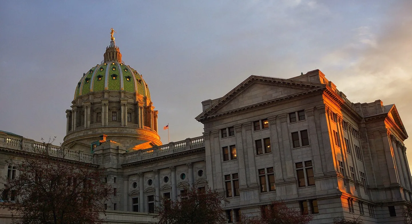
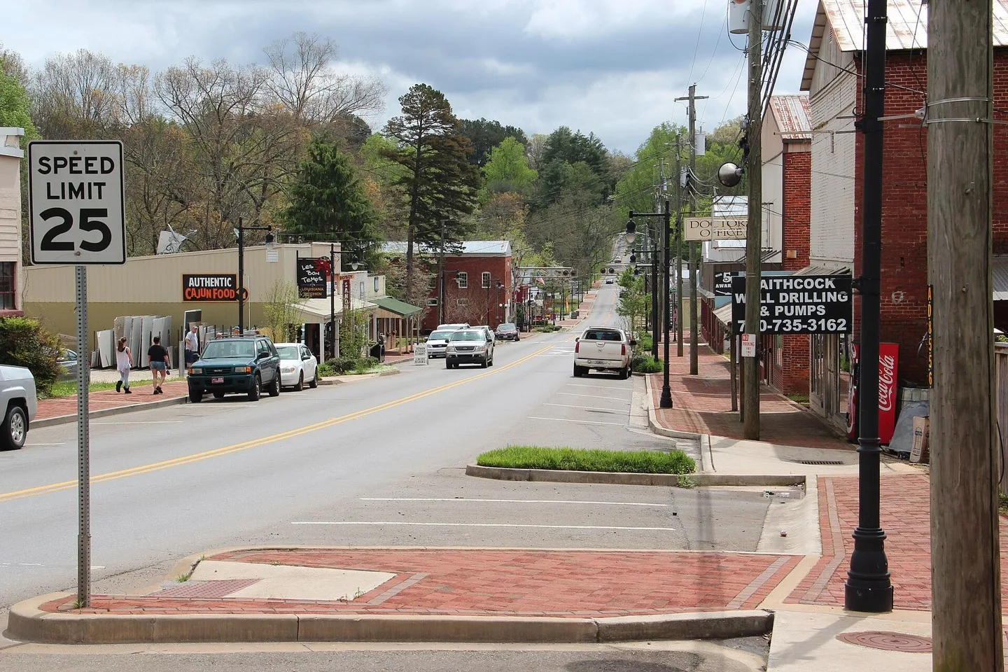
PA State Capitol Building at twilight Photo: Ted Van Pelt. CC BY 2.0; resized for display. Area view.
skyline of downtown Columbia, SC, USA from Arsenal Hill neighborhood Photo: Akhenaton06. CC BY-SA 3.0; resized for display. Area view.
A downtown view of Richmond, VA Photo: Bruce Emmerling. CC BY-SA 4.0; resized for display. Area view.
Charleston, West Virginia — geographic photograph Photo: Daniel G Rego. CC BY-SA 4.0; resized for display. Area view.
Lake Mendota shoreline and downtown Madison, Wisconsin Photo: college.library. CC BY 2.0; resized for display. Area view.
A clearer path forward
You do not need to arrive knowing the exact product. Start with the part of the home or daily routine that needs attention.
Learn with HomePro
Use HomePro’s product pages, planning resources and videos to prepare for a more useful conversation.
Share the access challenge and the team can help clarify the next step.
Our Manufacturing Partners · Blog · Resources · Stairlifts · Ramps · All solutions · About · Contact
Restoring Independence. Improving Lives.